Hills of Britain and Ireland
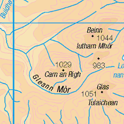
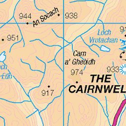
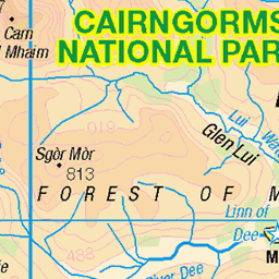
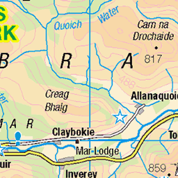
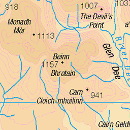
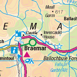
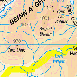
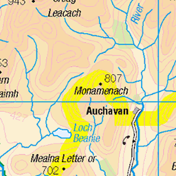
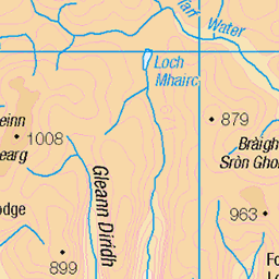
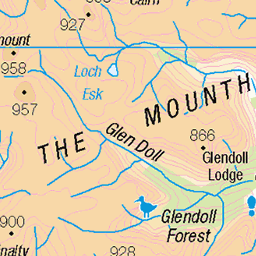
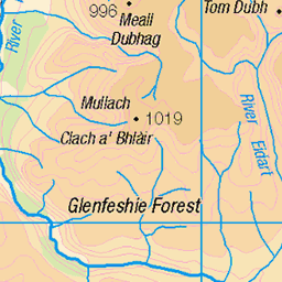
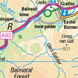
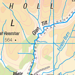
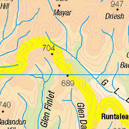
OS Map of Geal Charn
Height: 878m / 2881ft • Prominence: 51m / 167ft • Summit : middle of three cairns • Trip reports (hill-bagging)

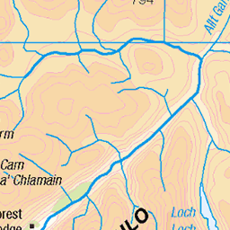
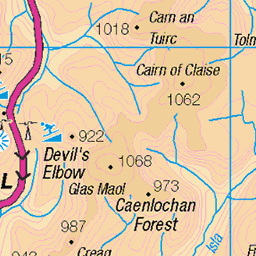
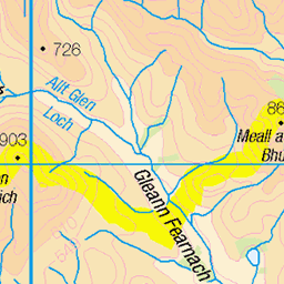
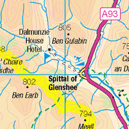
OS Map
This is OS mapping. In some areas, OpenStreetMap shows more footpaths
Spatial NI has online OSNI mapping. Click "Basemap Gallery" (4 squares icon at the top).
Now would be a good time for a cup of tea.
GPX Editor
Record map clicks
Reload map
Photos
Please tag your photos and upload them to the British and Irish Mountains group on Flickr
The other photos have been geo-tagged as on or around the summit. For less busy mountains, it can be a little hit and miss.


Geal Charn
Not been here before, it's a nice top. Not much of a view today.
22-Jul-17 • We travel the Spaceways • flickr
35966108312

Videos
A day hike to summit an easy winter Munro, in Cairngorms National Park, January 2025. #mountains #hiking #travel #nature ...
Beutiful hike up at A' Mharconaich and Geal Chàrn, Drumochter.
Video series about climbing the major mountains of the Scottish Highlands, England and Wales. Videó sorozat a Skót Felföld, ...
In today's video I will be doing the Cairnwell Circuit of 3 Munro's, Is the Cairnwell Scotlands ugliest Munro?! THE ROUTE: ...
In today's video I will be climbing the Three Munros of Altanour, A remote area of Scotland with some of the most underrated ...
Notes
- Data: Database of British and Irish Hills v18.2
- Maps: We use OS mapping for England, Scotland, Wales, and the Isle of Man. Sadly, Channel Islands, Northern (OSNI) and Southern Ireland (OSI) mapping isn't available online, so we use Openstreetmap.