Hills of Britain and Ireland
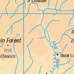
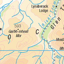
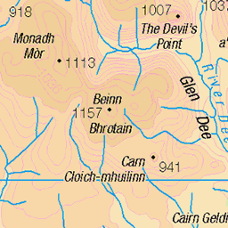
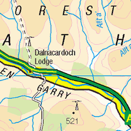
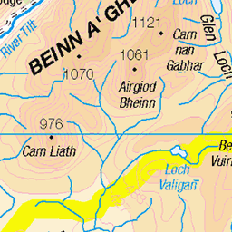
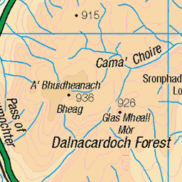
OS Map of Uchd a' Chlarsair
Height: 790m / 2593ft • Prominence: 34m / 112ft • Summit : small peat hag 3m from small cairn • Trip reports (hill-bagging)

P27 Cairn on N side of ford
n the north side of the Caochan Lub ford a set of white stone markers lead to the top of the pass.
24-Sep-09 • Grahamtravels • flickr
6246252997

P26 Ford on Caochan Lub
The Caochan Lub ford where the grassy conditions may hint at stopping place for cattle droves.
24-Sep-09 • Grahamtravels • flickr
6246251839

P25 Path above Caochan Lub
This is the approach to Caochan Luib from the S before the final climb to the pass.
24-Sep-09 • Grahamtravels • flickr
4733383244

P29 White markers on rise to pass
These white stones guide users onto the final pass from the S above Caochan Luib. How old might they be?
24-Sep-09 • Grahamtravels • flickr
4733383252

P30 The top of the pass looking N
The final white marker is right on the top of the Minigaig.
24-Sep-09 • Grahamtravels • flickr
4733383258

P31 Pass looking S to Beinn Dearg
Looking south to Beinn Dearg a prominent Munro on Atholl estate.
24-Sep-09 • Grahamtravels • flickr
6246294665
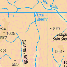
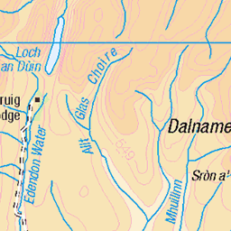
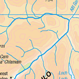
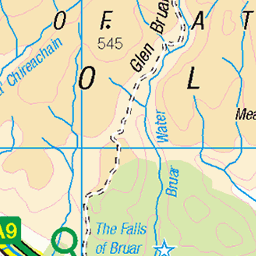
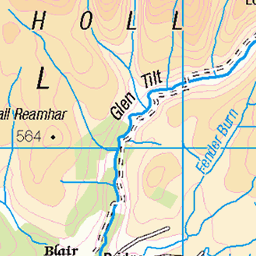
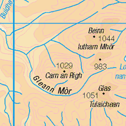
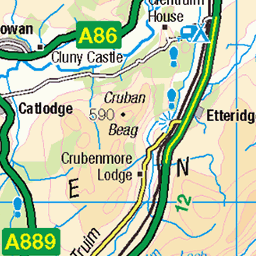
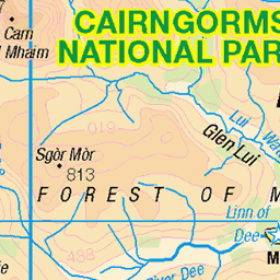
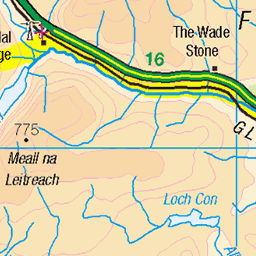
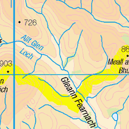
OS Map
This is OS mapping. In some areas, OpenStreetMap shows more footpaths
Spatial NI has online OSNI mapping. Click "Basemap Gallery" (4 squares icon at the top).
Now would be a good time for a cup of tea.
GPX Editor
Record map clicks
Reload map
Photos
Please tag your photos and upload them to the British and Irish Mountains group on Flickr
The other photos have been geo-tagged as on or around the summit. For less busy mountains, it can be a little hit and miss.
P27 Cairn on N side of ford
n the north side of the Caochan Lub ford a set of white stone markers lead to the top of the pass.
24-Sep-09 • Grahamtravels • flickr
6246252997
P26 Ford on Caochan Lub
The Caochan Lub ford where the grassy conditions may hint at stopping place for cattle droves.
24-Sep-09 • Grahamtravels • flickr
6246251839
P25 Path above Caochan Lub
This is the approach to Caochan Luib from the S before the final climb to the pass.
24-Sep-09 • Grahamtravels • flickr
4733383244
P29 White markers on rise to pass
These white stones guide users onto the final pass from the S above Caochan Luib. How old might they be?
24-Sep-09 • Grahamtravels • flickr
4733383252
P30 The top of the pass looking N
The final white marker is right on the top of the Minigaig.
24-Sep-09 • Grahamtravels • flickr
4733383258
P31 Pass looking S to Beinn Dearg
Looking south to Beinn Dearg a prominent Munro on Atholl estate.
24-Sep-09 • Grahamtravels • flickr
6246294665

P32 Glen Bruar is notch right of centre
Looking back from the plateau to Glen Bruar in the notch. An area where navigation skills are definitely required.
24-Sep-09 • Grahamtravels • flickr
6246295995

P34 View back to pass
Just after crossing the pass heading north this is the view back to the pass on a grassy area before meeting a long heathery descent.
24-Sep-09 • Grahamtravels • flickr
6246297367

P35 Heather moor on descent
Descending from the pass northward. The route follows the glen to the left in the distance.
24-Sep-09 • Grahamtravels • flickr
6246822642

P36 S to pass left of centre
Looking south after the pass crossing back to the top of the pass just left of centre.
24-Sep-09 • Grahamtravels • flickr
6246299935
Videos
None found
Notes
- Data: Database of British and Irish Hills v18.2
- Maps: We use OS mapping for England, Scotland, Wales, and the Isle of Man. Sadly, Channel Islands, Northern (OSNI) and Southern Ireland (OSI) mapping isn't available online, so we use Openstreetmap.