Hills of Britain and Ireland
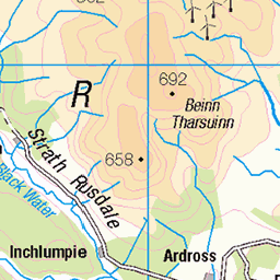
OS Map of A' Chioch
Height: 893m / 2931ft • Prominence: 68m / 223ft • Summit : no feature: moss • Trip reports (hill-bagging)

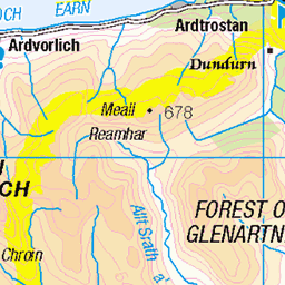
P37 Crossing Allt Coire Bhran
The Allt Coire Bhran has to be forded on the route once down from the pass heading north.
24-Sep-09 • Grahamtravels • flickr
6246301771
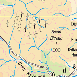
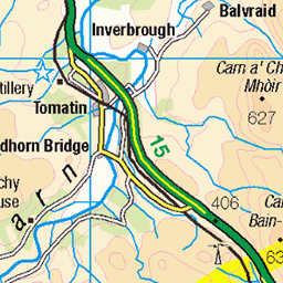
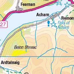
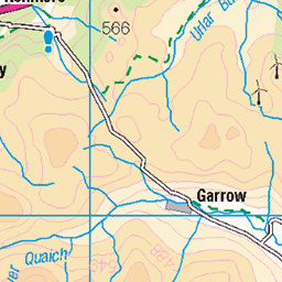
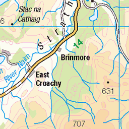
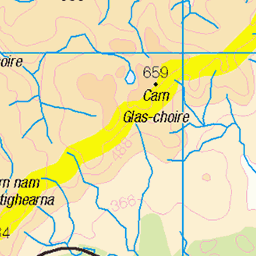
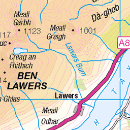
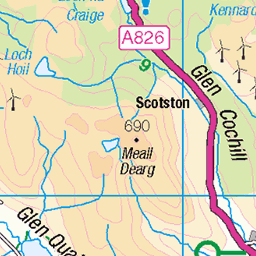
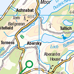
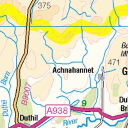
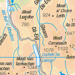
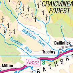
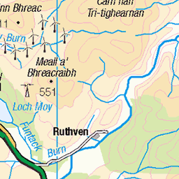
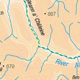
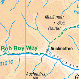
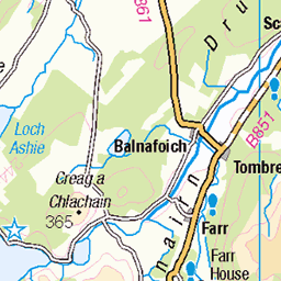
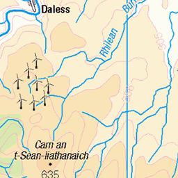
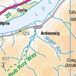
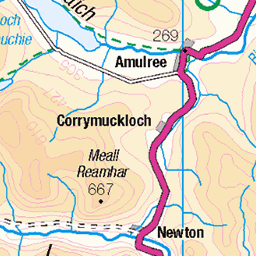
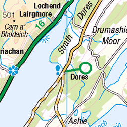
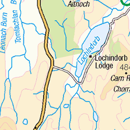
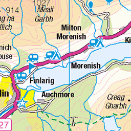
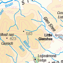
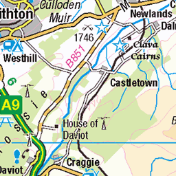
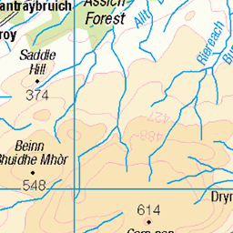
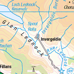
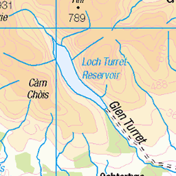
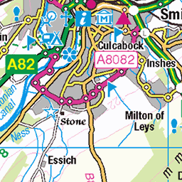
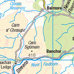
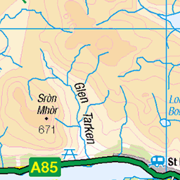
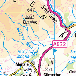
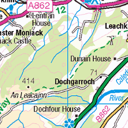
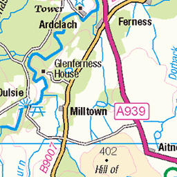
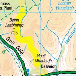
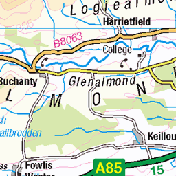
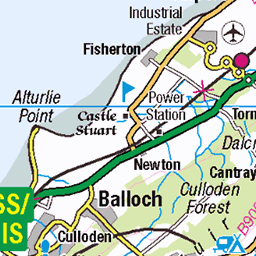
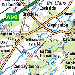
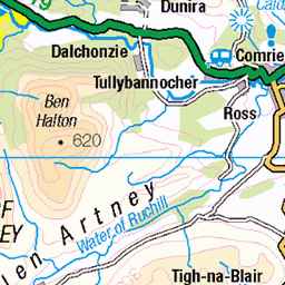
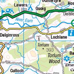
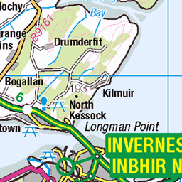
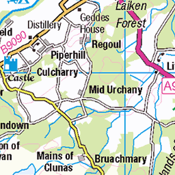
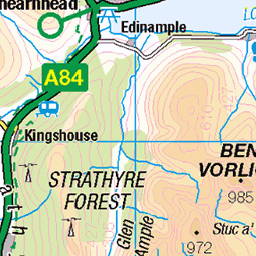
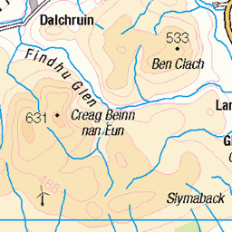
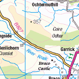
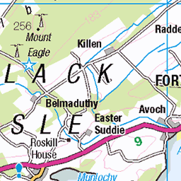
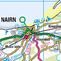
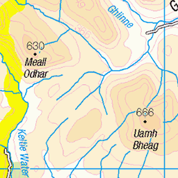
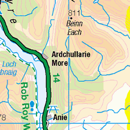
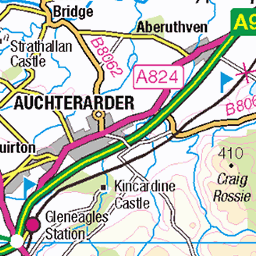
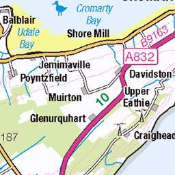
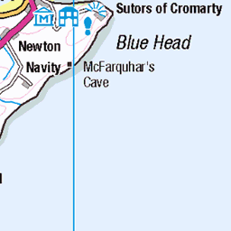
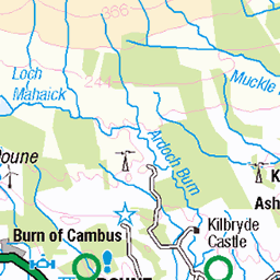
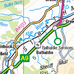
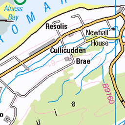
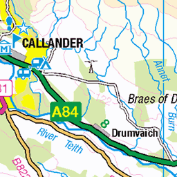
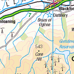
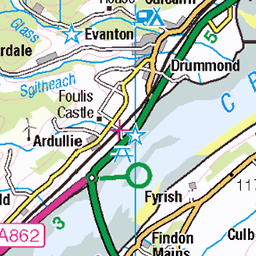
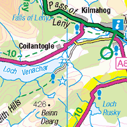
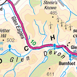
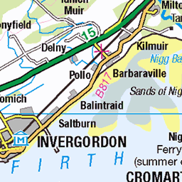
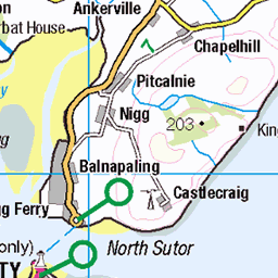
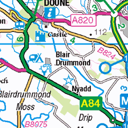
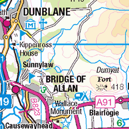
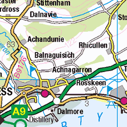
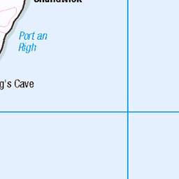
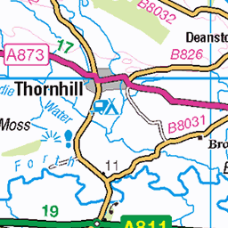
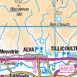
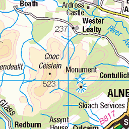
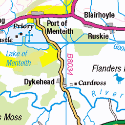
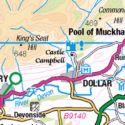
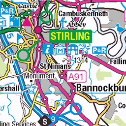
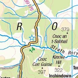
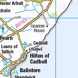
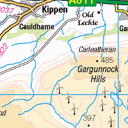
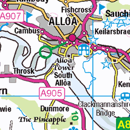
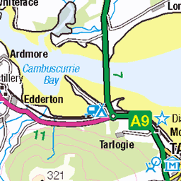
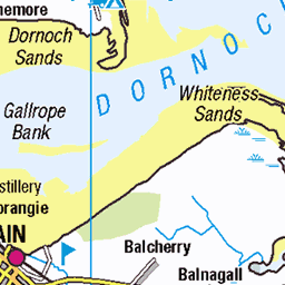
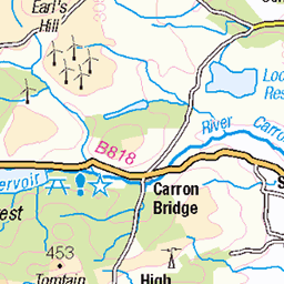
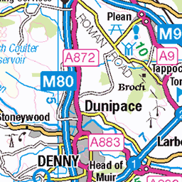
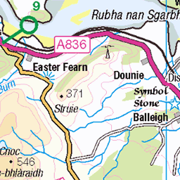
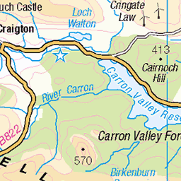
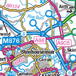
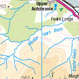
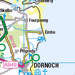
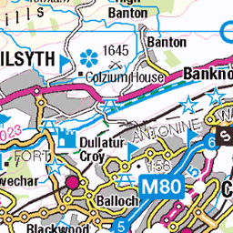
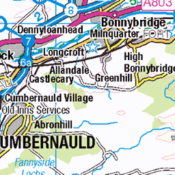
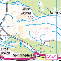
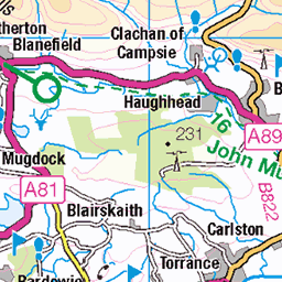
OS Map
This is OS mapping. In some areas, OpenStreetMap shows more footpaths
Spatial NI has online OSNI mapping. Click "Basemap Gallery" (4 squares icon at the top).
Now would be a good time for a cup of tea.


GPX Editor
Record map clicks
Reload map
Photos
Please tag your photos and upload them to the British and Irish Mountains group on Flickr
The other photos have been geo-tagged as on or around the summit. For less busy mountains, it can be a little hit and miss.
P37 Crossing Allt Coire Bhran
The Allt Coire Bhran has to be forded on the route once down from the pass heading north.
24-Sep-09 • Grahamtravels • flickr
6246301771
Videos
Quick turn up Geal-charn in the Cairngorms on 8th Feb 2015. Skinned right from the car and skied most of the way back to it ...
Notes
- Data: Database of British and Irish Hills v18.2
- Maps: We use OS mapping for England, Scotland, Wales, and the Isle of Man. Sadly, Channel Islands, Northern (OSNI) and Southern Ireland (OSI) mapping isn't available online, so we use Openstreetmap.