Hills of Britain and Ireland
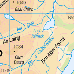
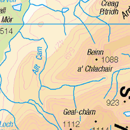
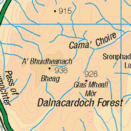
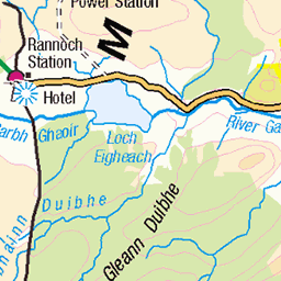
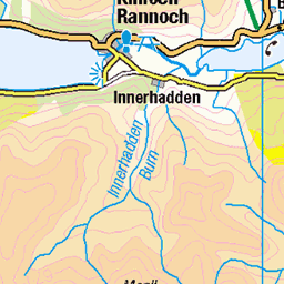
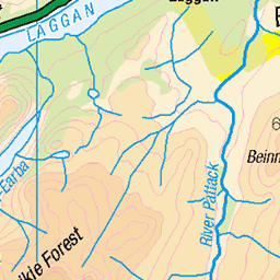
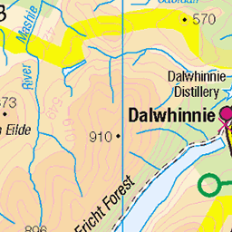
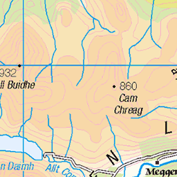
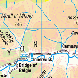
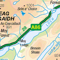
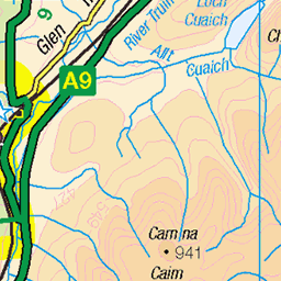
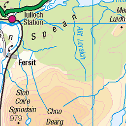
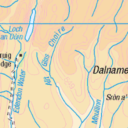
OS Map of Carn Dearg
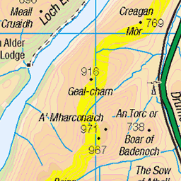
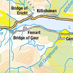
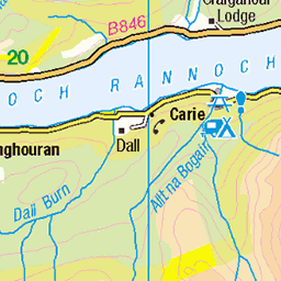
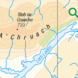
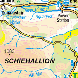
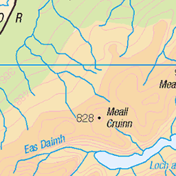
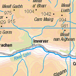
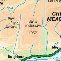
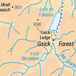
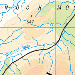
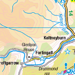
OS Map
This is OS mapping. In some areas, OpenStreetMap shows more footpaths
Spatial NI has online OSNI mapping. Click "Basemap Gallery" (4 squares icon at the top).
Now would be a good time for a cup of tea.
GPX Editor
Record map clicks
Reload map
Photos
Please tag your photos and upload them to the British and Irish Mountains group on Flickr
The other photos have been geo-tagged as on or around the summit. For less busy mountains, it can be a little hit and miss.
Videos
25/5/23 My 93rd & 94th Munros Carn Dearg & Sgor Gaibhre from Corrour Sooooooooooperb day on my beloved Mountains ...
Corrour Pair - Carn Dearg and Sgor Gaibhre. No's 120 & 121. Sgòr Gaibhre and Càrn Dearg from Corrour. Date walked: ...
An adventure on the train to Corrour. Hiking round the 3 mountains at Loch Ossian, Beinn na lap, Carn Dearg, Sgor Gaibhre and ...
A Wild camping adventure into Ben Alder Forest: Kev and I set off from Kinloch Laggan for a bike, hike and wild camping trip into ...
In today's video I will be Munro Bagging and climbing my last Monadhliath Mountain - Geal Charn. This walk is pretty ...
Notes
- Data: Database of British and Irish Hills v18.2
- Maps: We use OS mapping for England, Scotland, Wales, and the Isle of Man. Sadly, Channel Islands, Northern (OSNI) and Southern Ireland (OSI) mapping isn't available online, so we use Openstreetmap.