Hills of Britain and Ireland
OS Map of Bogha-cloiche

P13 View S to Gaick Lodge
View into the Gaick Lodge area crossing the hill from lower Glen Tromie.
26-May-10 • Grahamtravels • flickr
4755304340

P14 pony track at Gaick
What remains of the old pony track descends from Maol an t-Seilich to Gaick. The route goes south by the glen to the left of the photo.
26-May-10 • Grahamtravels • flickr
6240472123
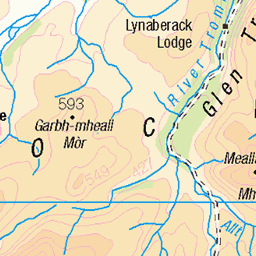
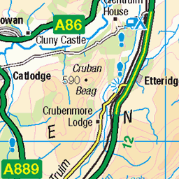
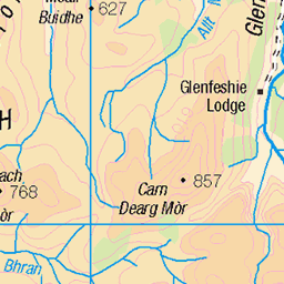
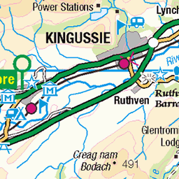
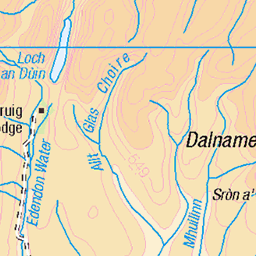
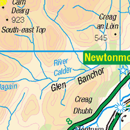
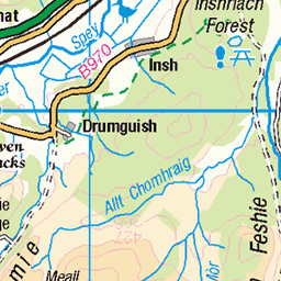
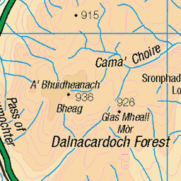
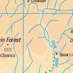
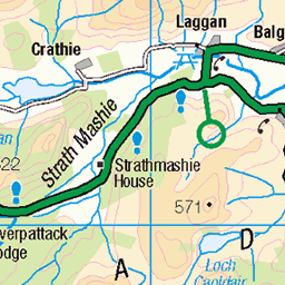
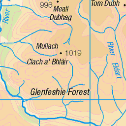
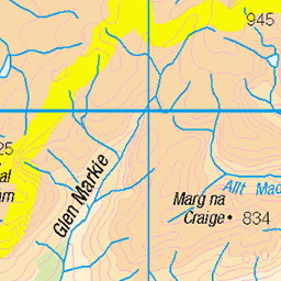
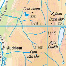
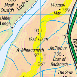
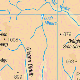
OS Map
This is OS mapping. In some areas, OpenStreetMap shows more footpaths
Spatial NI has online OSNI mapping. Click "Basemap Gallery" (4 squares icon at the top).
Now would be a good time for a cup of tea.
GPX Editor
Record map clicks
Reload map
Photos
Please tag your photos and upload them to the British and Irish Mountains group on Flickr
The other photos have been geo-tagged as on or around the summit. For less busy mountains, it can be a little hit and miss.
P13 View S to Gaick Lodge
View into the Gaick Lodge area crossing the hill from lower Glen Tromie.
26-May-10 • Grahamtravels • flickr
4755304340
P14 pony track at Gaick
What remains of the old pony track descends from Maol an t-Seilich to Gaick. The route goes south by the glen to the left of the photo.
26-May-10 • Grahamtravels • flickr
6240472123
Videos
None found
Notes
- Data: Database of British and Irish Hills v18.2
- Maps: We use OS mapping for England, Scotland, Wales, and the Isle of Man. Sadly, Channel Islands, Northern (OSNI) and Southern Ireland (OSI) mapping isn't available online, so we use Openstreetmap.