Hills of Britain and Ireland
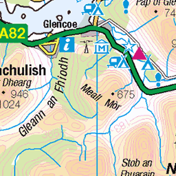
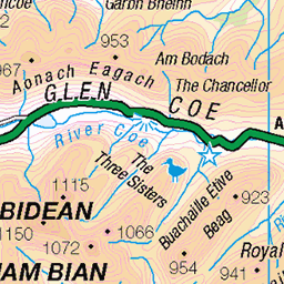
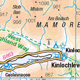
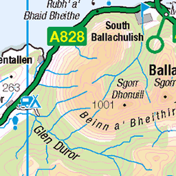
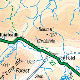
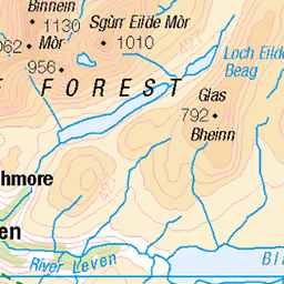
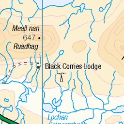
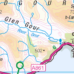
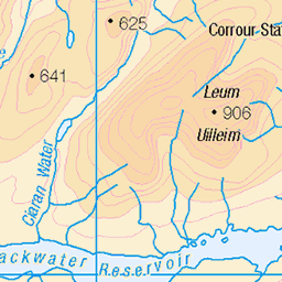
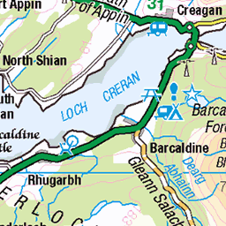
OS Map of Beinn Fhionnlaidh East Top
Height: 841m / 2759ft • Prominence: 46m / 151ft • Summit : embedded boulder • Trip reports (hill-bagging)


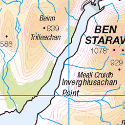
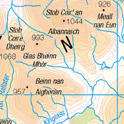
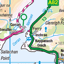
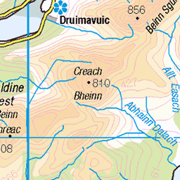
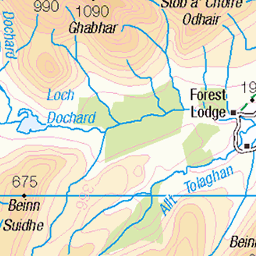
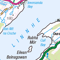
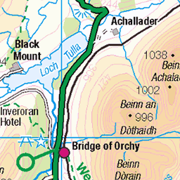
OS Map
This is OS mapping. In some areas, OpenStreetMap shows more footpaths
Spatial NI has online OSNI mapping. Click "Basemap Gallery" (4 squares icon at the top).
Now would be a good time for a cup of tea.

GPX Editor
Record map clicks
Reload map
Photos
Please tag your photos and upload them to the British and Irish Mountains group on Flickr
The other photos have been geo-tagged as on or around the summit. For less busy mountains, it can be a little hit and miss.


Videos
18th July 2022.
Saturday 5th of August 2023 A challenging day in the mountains attempting 2 munros Sgòr na h-Ulaidh and Beinn Fhionnlaidh ...
Stills and videos from what went from a total boggy shambles to an icy summit with some glorious blue sky moments along the ...
Date walked: 15/01/2013, Time taken: 4.8 hours, Distance: 15 km/9.4 miles, Ascent: 960m. Near exact day as my first attempt ...
Panoramic shot from the top of Beinn Trilleachan.
Notes
- Data: Database of British and Irish Hills v18.2
- Maps: We use OS mapping for England, Scotland, Wales, and the Isle of Man. Sadly, Channel Islands, Northern (OSNI) and Southern Ireland (OSI) mapping isn't available online, so we use Openstreetmap.