Hills of Britain and Ireland
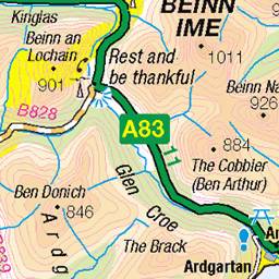
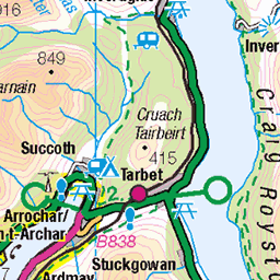
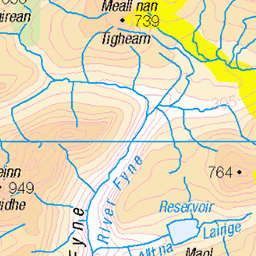
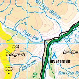
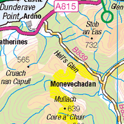
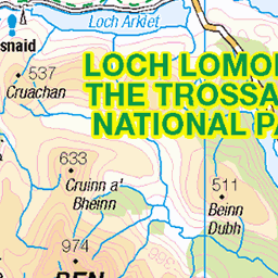
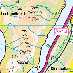
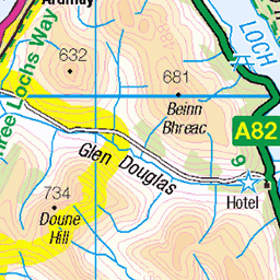
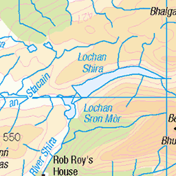
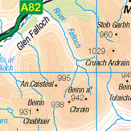
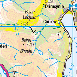
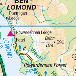
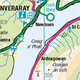
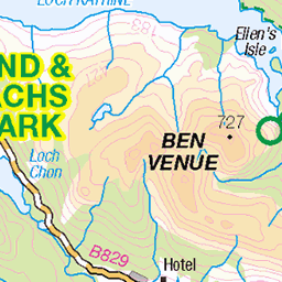
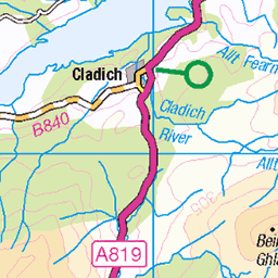
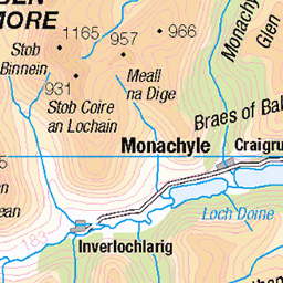
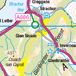
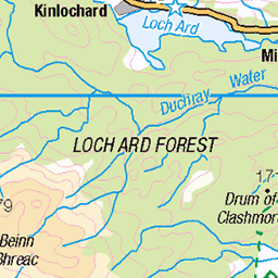
OS Map of Ben Vorlich South Top


Ben Vorlich Ascent
Looking down to Loch Lomond and Loch Arklet from the slopes of Ben Lomond.
13-Nov-21 • Russell-Davies • flickr
locharklet lochlomond lochlomondnationalpark benvorlich munro munrobagging drone dronephotography clouds highlands hiking landscape loch mountains nationalpark scotland summit uk winter 54212177262

Sloy Dam From Ben Vorlich
A view to Loch Sloy Dam below Ben Vorlich.
13-Nov-21 • Russell-Davies • flickr
lochsloy lochsloydam benvorlich benvane lochlomond lochlomondnationalpark drone dronephotography munrobagging munro argyll clouds highlands hiking landscape loch mountains nationalpark scotland summit uk 54213418696

Sloy Dam Aerial
Aerial view of the Dam at Loch Sloy.
16-Oct-21 • Russell-Davies • flickr
lochsloy lochsloydam lochlomond lochlomondnationalpark drone dronephotography argyll highlands landscape loch mountains munrobagging nationalpark scotland uk 54212177267

OS Map
This is OS mapping. In some areas, OpenStreetMap shows more footpaths
Spatial NI has online OSNI mapping. Click "Basemap Gallery" (4 squares icon at the top).
Now would be a good time for a cup of tea.
GPX Editor
Record map clicks
Reload map
Photos
Please tag your photos and upload them to the British and Irish Mountains group on Flickr
The other photos have been geo-tagged as on or around the summit. For less busy mountains, it can be a little hit and miss.
Ben Vorlich Ascent
Looking down to Loch Lomond and Loch Arklet from the slopes of Ben Lomond.
13-Nov-21 • Russell-Davies • flickr
locharklet lochlomond lochlomondnationalpark benvorlich munro munrobagging drone dronephotography clouds highlands hiking landscape loch mountains nationalpark scotland summit uk winter 54212177262
Sloy Dam From Ben Vorlich
A view to Loch Sloy Dam below Ben Vorlich.
13-Nov-21 • Russell-Davies • flickr
lochsloy lochsloydam benvorlich benvane lochlomond lochlomondnationalpark drone dronephotography munrobagging munro argyll clouds highlands hiking landscape loch mountains nationalpark scotland summit uk 54213418696
Sloy Dam Aerial
Aerial view of the Dam at Loch Sloy.
16-Oct-21 • Russell-Davies • flickr
lochsloy lochsloydam lochlomond lochlomondnationalpark drone dronephotography argyll highlands landscape loch mountains munrobagging nationalpark scotland uk 54212177267


Videos
Trip 22 Ben Vorlich (LL), via Loch Sloy. 10/09/2013, Time taken: 4.6 hours, 14.25 km/8.9 miles, Ascent: 930m. Time to head for ...
A circular hike up my first Munro , Ben Narnain, 926m , hike starts at sea level at Arrochar. Incredible views of central highlands, ...
Climb Date: 8/1/20 The Brack 787m is a mountain, located in the Arrochar Alps, on the south side of Glen Croe, near Loch Goil in ...
This hike takes in the 2 Munros Beinn Narnain & Beinn Ime as well as a hike up The Cobbler aka Ben Arthur. I'm accompanied by ...
Great day out with Frank & Paul on Scotland's most southerly Munro - Ben Lomond in Loch Lomond & Trossachs National Park ...
Notes
- Data: Database of British and Irish Hills v18.2
- Maps: We use OS mapping for England, Scotland, Wales, and the Isle of Man. Sadly, Channel Islands, Northern (OSNI) and Southern Ireland (OSI) mapping isn't available online, so we use Openstreetmap.