Hills of Britain and Ireland
OS Map of Brighstone Down


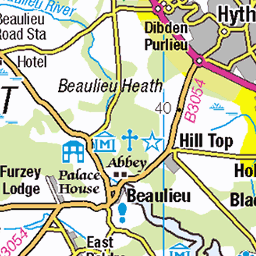
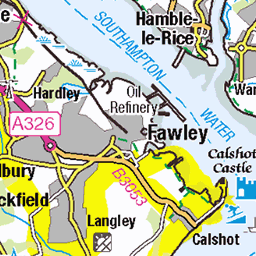
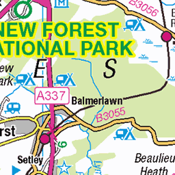
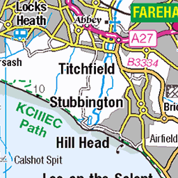
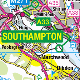
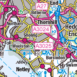
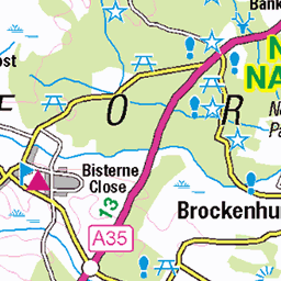
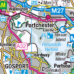
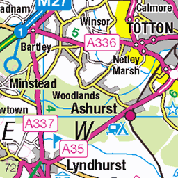
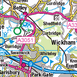
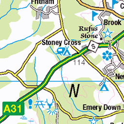
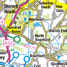
OS Map
This is OS mapping. In some areas, OpenStreetMap shows more footpaths
Spatial NI has online OSNI mapping. Click "Basemap Gallery" (4 squares icon at the top).
Now would be a good time for a cup of tea.


GPX Editor
Record map clicks
Reload map
Photos
Please tag your photos and upload them to the British and Irish Mountains group on Flickr
The other photos have been geo-tagged as on or around the summit. For less busy mountains, it can be a little hit and miss.


2918 Brightstone Down
Second HuMP of six from road, first path past road to Coombe Farm, then walk uphill. Route finding easy. Lovely wall to wall sunshine on a rest day from FMD Guildford. Name:Brighstone Down Date of ascent:04/10/2007 Hill number:2918 Height:214m / 702ft RHB Section:42: South-East England & the Isle of Wight County/UA:Isle of Wight (CoU) Island:Isle of Wight Maritime area:Hants & Dorset - Portsmouth & Wight Class:Marilyn, Hump, Tump (200-299m), Clem Grid ref:SZ 43245 84732 Summit feature:trig point Drop:150m Col:64m SZ482816 Observations:trees just to N could hide higher ground Survey:Abney level
04-Oct-07 • Dugswell2 • flickr
trigpoint brightsondown p150 marilyn hump tump clem s2492 brighstonedowntrigpoint isleofwight 48858272001
Videos
Marek Larwood goes on a walk around Brighstone Down on the Isle of Wight, trying to spot Sea Eagles, taking in Brighstone ...
A historical journey from Calbourne to Shorwell via the summits Brightstone & Limerstone downs on the Isle of Wight. Join me on ...
Check out my most trusted travel luggage by clicking the link (Use code: "Wendall10" for 10% off) ...
A fantastic walk up Tennyson Down from Freshwater on a sunny January day. Tough walk, but the views are just fantastic.
A special episode as we had Greg Hamerton from 'Fly with Greg' visiting us for the weekend (he was on holiday with his family).
Notes
- Data: Database of British and Irish Hills v18.2
- Maps: We use OS mapping for England, Scotland, Wales, and the Isle of Man. Sadly, Channel Islands, Northern (OSNI) and Southern Ireland (OSI) mapping isn't available online, so we use Openstreetmap.