Hills of Britain and Ireland
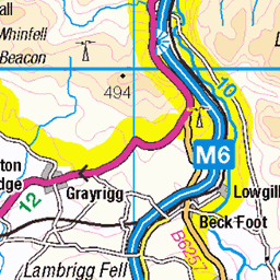
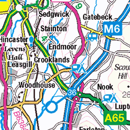
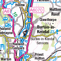
OS Map of Aye Gill Pike
Height: 556m / 1825ft • Prominence: 167m / 548ft • Summit : trig point • Trip reports (hill-bagging)

Aye Gill Pike, Aug. 2023
30-Aug-23 • Great Uncle David • flickr
ayegillpike yorkshiredales cumbria england 53168539691

2802 Aye Gill Pike a
Grid reference : SD 72067 88613 Type : Pillar Condition : Good Flush Bracket : S5665 OSGB36 Station : SD47/T2 Current use : none Historic use : 3rd order T:UK waypoint : TP0944 County : Cumbria Nearest town : KENDAL
30-Jun-23 • Dugswell2 • flickr
yorkshiredalesnationalpark ayegillpike p167 marilyn hump tump dodd dewey clem trigpoint s5665 ayegillpiketrigpoint 53013979572

Trig point gathering
Paul (sitting), Caroline, Jerry (on trig point) and Andy.
29-May-22 • Jackie & Dennis • flickr
dent trigpoint 52260270928


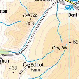
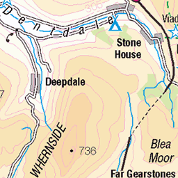
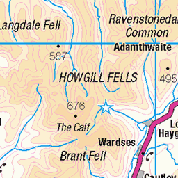
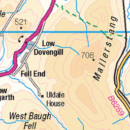
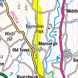
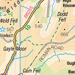
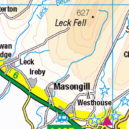
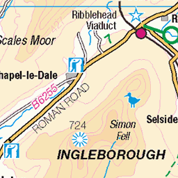
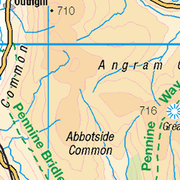
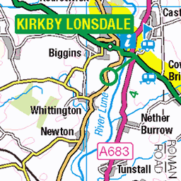
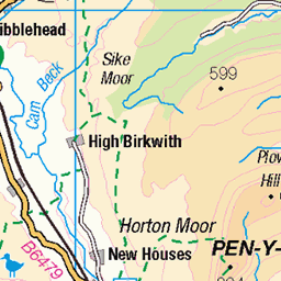
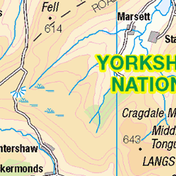
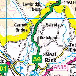
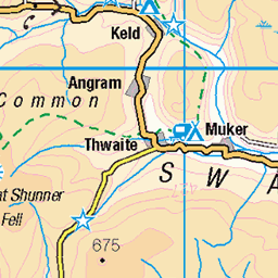
OS Map
This is OS mapping. In some areas, OpenStreetMap shows more footpaths
Spatial NI has online OSNI mapping. Click "Basemap Gallery" (4 squares icon at the top).
Now would be a good time for a cup of tea.
GPX Editor
Record map clicks
Reload map
Photos
Please tag your photos and upload them to the British and Irish Mountains group on Flickr
The other photos have been geo-tagged as on or around the summit. For less busy mountains, it can be a little hit and miss.
Aye Gill Pike, Aug. 2023
30-Aug-23 • Great Uncle David • flickr
ayegillpike yorkshiredales cumbria england 53168539691
2802 Aye Gill Pike a
Grid reference : SD 72067 88613 Type : Pillar Condition : Good Flush Bracket : S5665 OSGB36 Station : SD47/T2 Current use : none Historic use : 3rd order T:UK waypoint : TP0944 County : Cumbria Nearest town : KENDAL
30-Jun-23 • Dugswell2 • flickr
yorkshiredalesnationalpark ayegillpike p167 marilyn hump tump dodd dewey clem trigpoint s5665 ayegillpiketrigpoint 53013979572
Trig point gathering
Paul (sitting), Caroline, Jerry (on trig point) and Andy.
29-May-22 • Jackie & Dennis • flickr
dent trigpoint 52260270928


Videos
A two day walk and wild camp in the Yorkshire Dales National Park taking in the villages of Sedbergh and Ravenstonedale.
Notes
- Data: Database of British and Irish Hills v18.2
- Maps: We use OS mapping for England, Scotland, Wales, and the Isle of Man. Sadly, Channel Islands, Northern (OSNI) and Southern Ireland (OSI) mapping isn't available online, so we use Openstreetmap.