Hills of Britain and Ireland
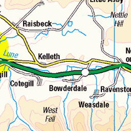
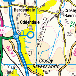
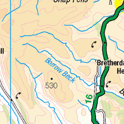
OS Map of Randygill Top

20240509_130055
Dales High Way, May 2024 Day 5 – Sedbergh to Newbiggin-on-Lune Howgill Fells
09-May-24 • Viv Marsh • flickr
53712401795

Green Bell, from near Newbiggin on Lune, May 2023
03-May-23 • Great Uncle David • flickr
greenbell mountains cumbria england yorkshiredales howgillfells 52871381622

Green Bell and Hunthoof Pike, May 2023
03-May-23 • Great Uncle David • flickr
greenbell mountains cumbria england yorkshiredales howgillfells hunthoofpike 52871958731

Green Bell summit and trig. point, May 2023
03-May-23 • Great Uncle David • flickr
greenbell mountains cumbria england yorkshiredales howgillfells 52872341040

Randygill Top, from Green Bell summit, May 2023
03-May-23 • Great Uncle David • flickr
randygilltop mountains cumbria england yorkshiredales howgillfells 52872398858

Randygill Top summit, May 2023
03-May-23 • Great Uncle David • flickr
randygilltop mountains cumbria england yorkshiredales howgillfells 52872131639
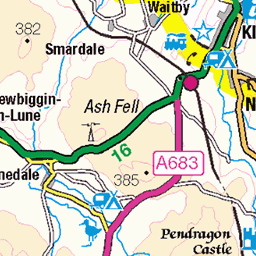
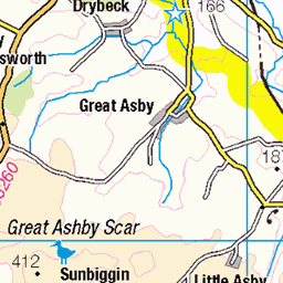
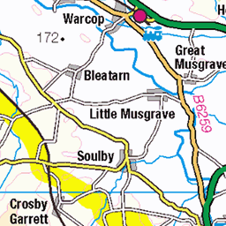
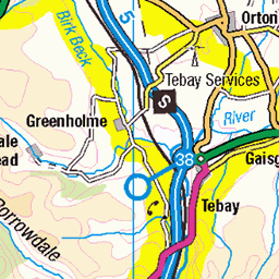
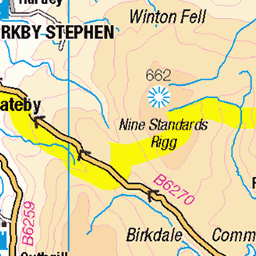
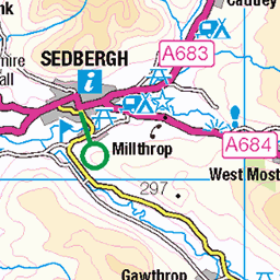
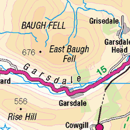
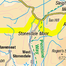
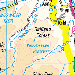
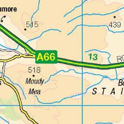
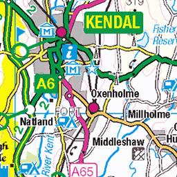
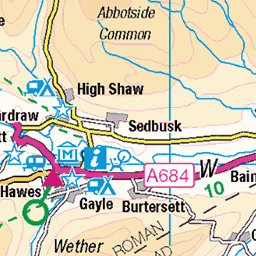
OS Map
This is OS mapping. In some areas, OpenStreetMap shows more footpaths
Spatial NI has online OSNI mapping. Click "Basemap Gallery" (4 squares icon at the top).
Now would be a good time for a cup of tea.
GPX Editor
Record map clicks
Reload map
Photos
Please tag your photos and upload them to the British and Irish Mountains group on Flickr
The other photos have been geo-tagged as on or around the summit. For less busy mountains, it can be a little hit and miss.
20240509_130055
Dales High Way, May 2024 Day 5 – Sedbergh to Newbiggin-on-Lune Howgill Fells
09-May-24 • Viv Marsh • flickr
53712401795
Green Bell, from near Newbiggin on Lune, May 2023
03-May-23 • Great Uncle David • flickr
greenbell mountains cumbria england yorkshiredales howgillfells 52871381622
Green Bell and Hunthoof Pike, May 2023
03-May-23 • Great Uncle David • flickr
greenbell mountains cumbria england yorkshiredales howgillfells hunthoofpike 52871958731
Green Bell summit and trig. point, May 2023
03-May-23 • Great Uncle David • flickr
greenbell mountains cumbria england yorkshiredales howgillfells 52872341040
Randygill Top, from Green Bell summit, May 2023
03-May-23 • Great Uncle David • flickr
randygilltop mountains cumbria england yorkshiredales howgillfells 52872398858
Randygill Top summit, May 2023
03-May-23 • Great Uncle David • flickr
randygilltop mountains cumbria england yorkshiredales howgillfells 52872131639

Green Bell, from Randygill Top summit, May 2023
03-May-23 • Great Uncle David • flickr
greenbell mountains cumbria england yorkshiredales howgillfells 52872131334


Cautley Spout and The Calf
Rollei SL66SE, Carl Zeiss Planar 80mm f/2.8, orange filter, T-MAX 100 Professional (Kodak TMX 6052) developed in Ilfosol S 1+9, digitised by photographing the two original negatives on a light pad - tethered capture, digital development and panorama stitching in Lightroom. The Howgills as a whole lie within the county of Cumbria, although the area remains in the Yorkshire Dales National Park. "Cautley Spout is England's highest (cascade) waterfall above ground. (Gaping Gill on Ingleborough falls a greater unbroken distance into a pothole, and Hardraw Force has a greater unbroken fall above ground). The broken cascade of falls tumbles a total of [nearly 200m] down a cliff face at the head of a wild and bleak glacial valley that comes down from a high plateau called The Calf. [...] This fall is one of the few cascade falls in England; most are either tiered or plunge falls." (Wikipedia) en.wikipedia.org/wiki/Cautley_Spout" rel="noreferrer nofollow en.wikipedia.org/wiki/Cautley_Spout de.wikipedia.org/wiki/Cautley_Spout" rel="noreferrer nofollow de.wikipedia.org/wiki/Cautley_Spout en.wikipedia.org/wiki/The_Calf" rel="noreferrer nofollow en.wikipedia.org/wiki/The_Calf
18-Aug-92 • Ed Fulton • flickr
120 6x6 carlzeissplanar80mmf28 cautleyspout cumbria developerilfosols19 england film howgillfells kodaktmx6052 lightpaddigitised mediumformat mittelformat rollei rolleisl66se selfprocessed tmax100professional uk yarlside sedbergh unitedkingdom thecalf 53170135329
Videos
The Howgill Fells 2000's is a new challenge walk devised by Mark Reid that takes in all nine summits over 2000-ft (610 metres) in ...
A Hike to The Calf, the highest point in the Howgills from Sedbergh. An upland walk across some the quieter Northern hills. A cold ...
In this video, we follow a circular route from/to the village of Ravenstonedale via the summit of Green Bell, a grassy fell of 605m ...
A fifteen mile circuit in the Howgills on a glorious January Saturday. The Lakeland Fells, Morecambe Bay, Ingleborough - all the ...
Boxing Day and a la'al trip south down the M6 passed my local snow capped Lake District Mountains to visit The beautiful and ...
Notes
- Data: Database of British and Irish Hills v18.2
- Maps: We use OS mapping for England, Scotland, Wales, and the Isle of Man. Sadly, Channel Islands, Northern (OSNI) and Southern Ireland (OSI) mapping isn't available online, so we use Openstreetmap.