Hills of Britain and Ireland
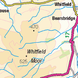
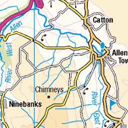
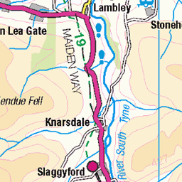
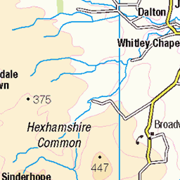
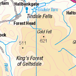
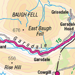
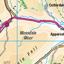
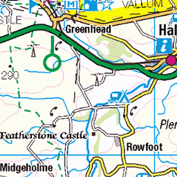
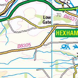
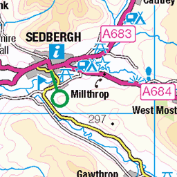
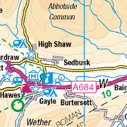
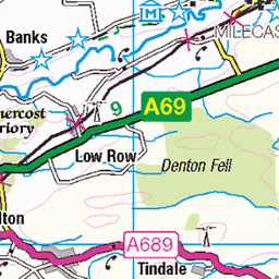
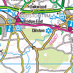
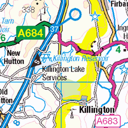
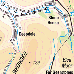
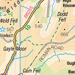
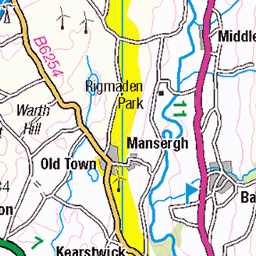
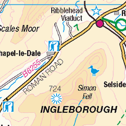
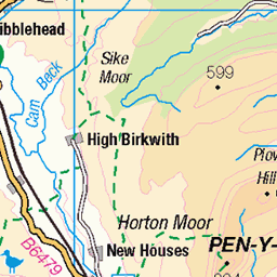
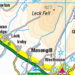
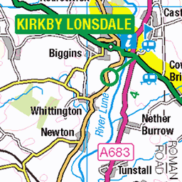
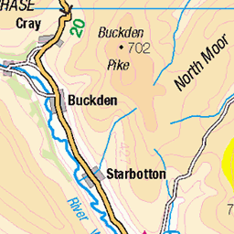
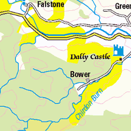
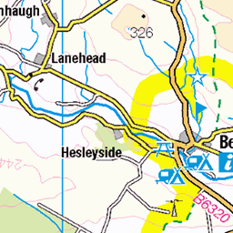
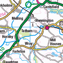
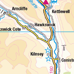
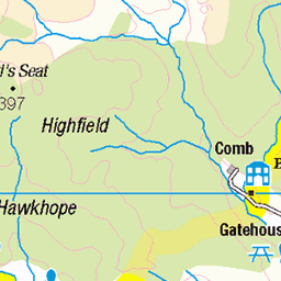
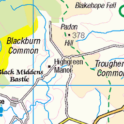
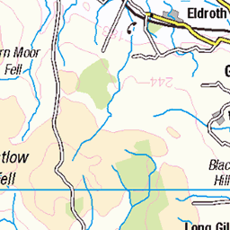
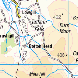
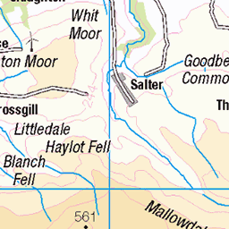
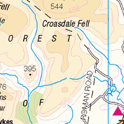
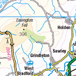
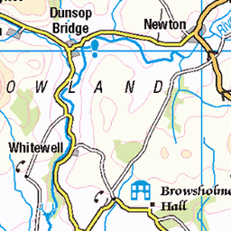
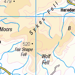
OS Map of Murton Fell


Video: High Cup Nick From the South Side
The far-western edge of the North Pennines. Spot the hikers at the end.
06-Mar-25 • Paul Austin Murphy • flickr
highcupnick 54371202218

High Cup Nick and a Radar Station in the Distance
The "giant golf ball" is on top of Great Dun Fell.
06-Mar-25 • Paul Austin Murphy • flickr
54373315314


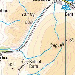
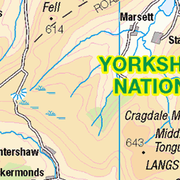
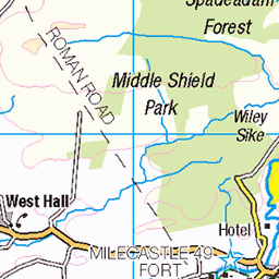
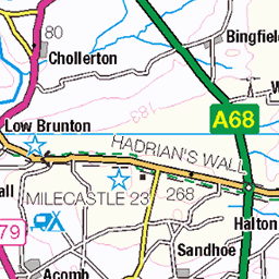
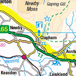
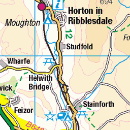
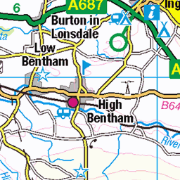
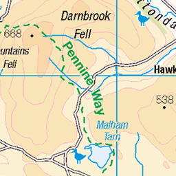
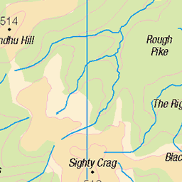
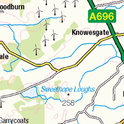
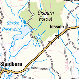
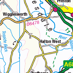
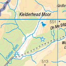
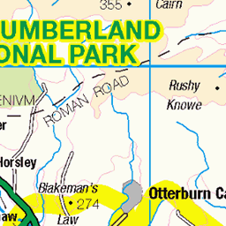
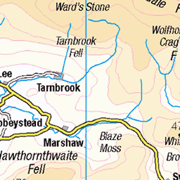
OS Map
This is OS mapping. In some areas, OpenStreetMap shows more footpaths
Spatial NI has online OSNI mapping. Click "Basemap Gallery" (4 squares icon at the top).
Now would be a good time for a cup of tea.
GPX Editor
Record map clicks
Reload map
Photos
Please tag your photos and upload them to the British and Irish Mountains group on Flickr
The other photos have been geo-tagged as on or around the summit. For less busy mountains, it can be a little hit and miss.
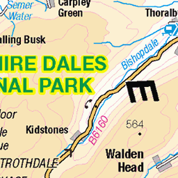
Video: High Cup Nick From the South Side
The far-western edge of the North Pennines. Spot the hikers at the end.
06-Mar-25 • Paul Austin Murphy • flickr
highcupnick 54371202218
High Cup Nick and a Radar Station in the Distance
The "giant golf ball" is on top of Great Dun Fell.
06-Mar-25 • Paul Austin Murphy • flickr
54373315314

Murton Fell, from Meldon Hill, Sep. 2024
07-Sep-24 • Great Uncle David • flickr
northpennines cumbria england murtonfell mountains 53981888517


2735 Murton Fell a
27-May-18 • Dugswell2 • flickr
murtonfell p74 tump simm hewitt nuttall 43544971381

2735 Murton Fell b
27-May-18 • Dugswell2 • flickr
murtonfell p74 tump simm hewitt nuttall 42827336754
Videos
Exciting stuff up High Cup Nick! https://www.youtube.com/@TonysTrails?sub_confirmation=1 #northpennines #walking ...
Circular route from Dufton to High Cup Nick continuing over the HEWITT of Murton Fell with its dreary summit. We are joined by a ...
Pretty nice hike this one, until I got lost at the end. AllTrails, you let me down!
Hey everyone, welcome to another weird and wonderful adventure. I swear me and Joe are not on day release and no one is ...
Notes
- Data: Database of British and Irish Hills v18.2
- Maps: We use OS mapping for England, Scotland, Wales, and the Isle of Man. Sadly, Channel Islands, Northern (OSNI) and Southern Ireland (OSI) mapping isn't available online, so we use Openstreetmap.