Hills of Britain and Ireland
OS Map of Wild Boar Fell
Height: 708m / 2324ft • Prominence: 353m / 1158ft • Summit : embedded rock 30m S of trig point • Trip reports (hill-bagging)


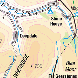
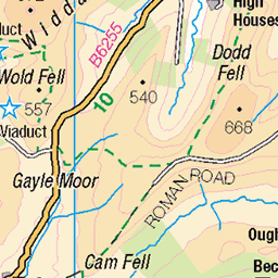
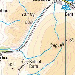
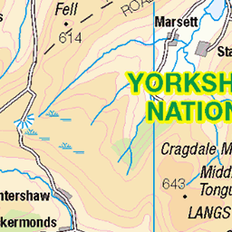
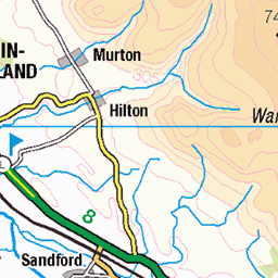
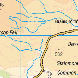
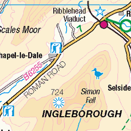
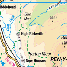
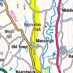
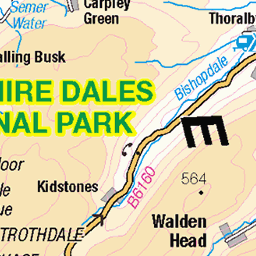
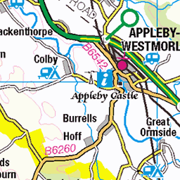
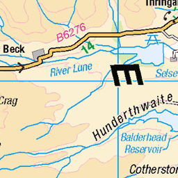
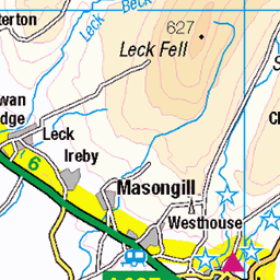
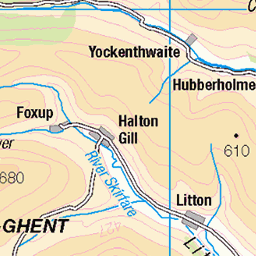
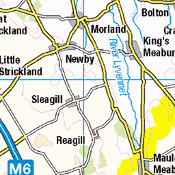
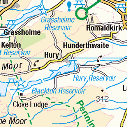
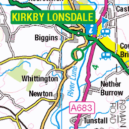
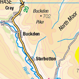
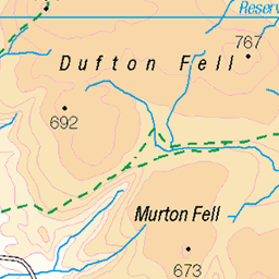
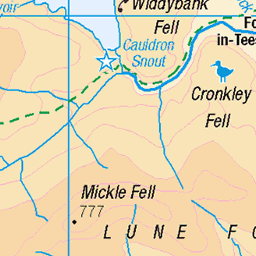
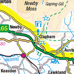
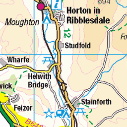
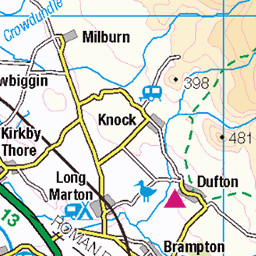
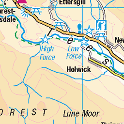
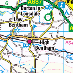
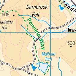
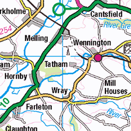
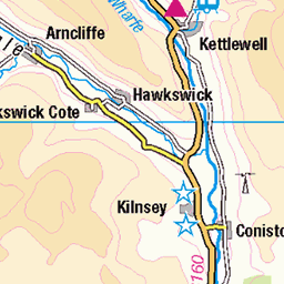
OS Map
This is OS mapping. In some areas, OpenStreetMap shows more footpaths
Spatial NI has online OSNI mapping. Click "Basemap Gallery" (4 squares icon at the top).
Now would be a good time for a cup of tea.
GPX Editor
Record map clicks
Reload map
Photos
Please tag your photos and upload them to the British and Irish Mountains group on Flickr
The other photos have been geo-tagged as on or around the summit. For less busy mountains, it can be a little hit and miss.


Videos
A day hike up Wild Boar Fell in the Westmorland Dales. A very windy day, against the forecast! Thanks for watching Alistair.
A 9.5 mile walk from Pendragon Castle in the Mallerstang Valley. The route heads up to the ridge that leads to Wild Boar Fell.
A walk over wild Boar Fell and Swarth Fell with a final ascent of Baugh Fell to camp near the summit. Saturday was very warm, but ...
Wet and windy conditions on the summit of Wild Boar Fell in the Yorkshire Dales National Park near Kirkby Stephen in England.
Joined by my friend Ciaran, we headed for a wild camp on Wild Boar Fell in the Yorkshire Dales. The forecast predicted a cold ...
Notes
- Data: Database of British and Irish Hills v18.2
- Maps: We use OS mapping for England, Scotland, Wales, and the Isle of Man. Sadly, Channel Islands, Northern (OSNI) and Southern Ireland (OSI) mapping isn't available online, so we use Openstreetmap.