Hills of Britain and Ireland
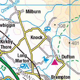
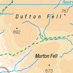
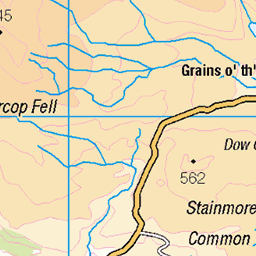
OS Map of Melmerby Fell
Height: 709m / 2326ft • Prominence: 44m / 144ft • Summit : rock 10m N of cairn • Trip reports (hill-bagging)

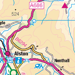
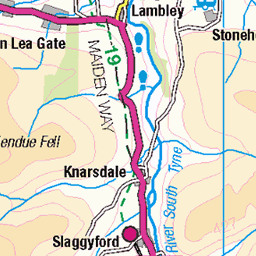
The Maiden Way
The Maiden Way Roman road runs through some of the wildest North Pennine hills on its route between Kirby Thore on the A66 and Carvoran on Hadrian's Wall. Just north of Alston, it passes close by the Roman fort of Whitley Castle where its line has recently been recorded by English Heritage using air photography, LIDAR and ground survey. Sections across the road here were excavated by volunteers during the Altogether Archaeology pilot project in 2011. The road was probably built to facilitate Roman lead and silver mining in the heart of the North Pennines. The fine little summit of Cuns Fell in the background.
30599729241


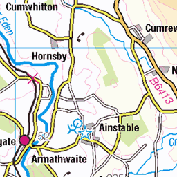
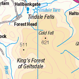
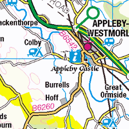
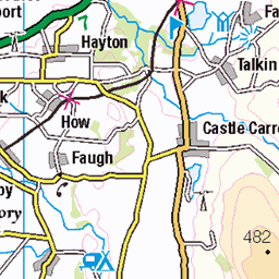
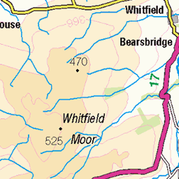
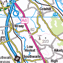
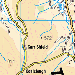
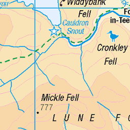
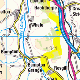
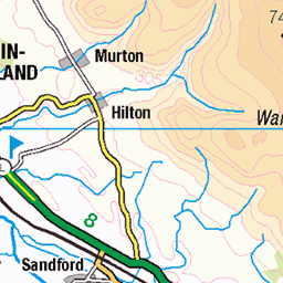
OS Map
This is OS mapping. In some areas, OpenStreetMap shows more footpaths
Spatial NI has online OSNI mapping. Click "Basemap Gallery" (4 squares icon at the top).
Now would be a good time for a cup of tea.

GPX Editor
Record map clicks
Reload map
Photos
Please tag your photos and upload them to the British and Irish Mountains group on Flickr
The other photos have been geo-tagged as on or around the summit. For less busy mountains, it can be a little hit and miss.
The Maiden Way
The Maiden Way Roman road runs through some of the wildest North Pennine hills on its route between Kirby Thore on the A66 and Carvoran on Hadrian's Wall. Just north of Alston, it passes close by the Roman fort of Whitley Castle where its line has recently been recorded by English Heritage using air photography, LIDAR and ground survey. Sections across the road here were excavated by volunteers during the Altogether Archaeology pilot project in 2011. The road was probably built to facilitate Roman lead and silver mining in the heart of the North Pennines. The fine little summit of Cuns Fell in the background.
30599729241


Videos
Walking to the summit of 3 peaks in the North Pennines. This area is bleak but the views are stunning especially over towards the ...
Hartside To Melmerby is a super ride and the views are amazing from the top of Hertside summit. Filmed & edited by Exploring ...
A 14.5 mile walk from Kirkland, the route heads up to Cross Fell via the bothy of Greg's Hut. From Cross Fell the route heads over ...
Walk down the valley of High Cup Nick fab weather day x.
All the filming was taken from the back lane just down from my home. Views in the video show shots of the lake district mountings ...
Notes
- Data: Database of British and Irish Hills v18.2
- Maps: We use OS mapping for England, Scotland, Wales, and the Isle of Man. Sadly, Channel Islands, Northern (OSNI) and Southern Ireland (OSI) mapping isn't available online, so we use Openstreetmap.