Hills of Britain and Ireland
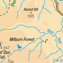
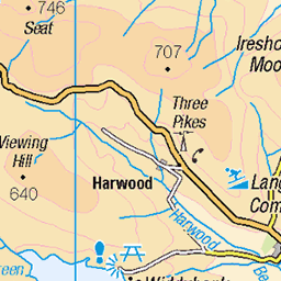
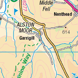
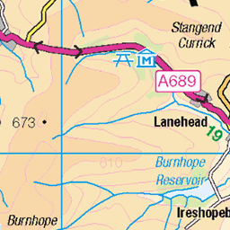
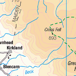
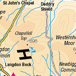
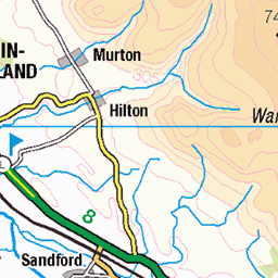
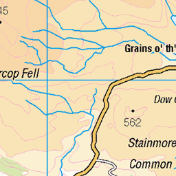
OS Map of Meldon Hill
Height: 767m / 2516ft • Prominence: 66m / 217ft • Summit : base of demolished trig point • Trip reports (hill-bagging)

Meldon Hill summit, Sep. 2024
07-Sep-24 • Great Uncle David • flickr
northpennines cumbria england meldonhill mountains 53983090284

2712 Meldon Hill a
02-Jul-17 • Dugswell2 • flickr
meldonhill p65 tump simm hewitt nuttall trigpoint 35732855125

2712 Meldon Hill b
02-Jul-17 • Dugswell2 • flickr
meldonhill p65 tump simm hewitt nuttall trigpoint 34923480373

2712 Meldon Hill d
02-Jul-17 • Dugswell2 • flickr
meldonhilltrigremains meldonhill p65 tump simm hewitt nuttall trigpoint 35732918865

2712 Meldon Hill e
02-Jul-17 • Dugswell2 • flickr
meldonhilltrigremains meldonhill p65 tump simm hewitt nuttall trigpoint 34891657404
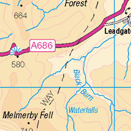
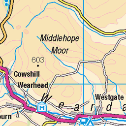
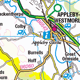
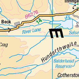
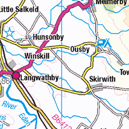
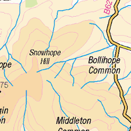
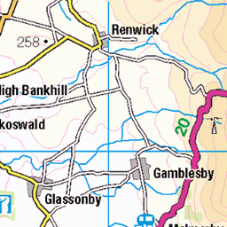
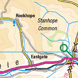
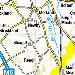
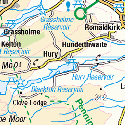
OS Map
This is OS mapping. In some areas, OpenStreetMap shows more footpaths
Spatial NI has online OSNI mapping. Click "Basemap Gallery" (4 squares icon at the top).
Now would be a good time for a cup of tea.
GPX Editor
Record map clicks
Reload map
Photos
Please tag your photos and upload them to the British and Irish Mountains group on Flickr
The other photos have been geo-tagged as on or around the summit. For less busy mountains, it can be a little hit and miss.
Meldon Hill summit, Sep. 2024
07-Sep-24 • Great Uncle David • flickr
northpennines cumbria england meldonhill mountains 53983090284
2712 Meldon Hill a
02-Jul-17 • Dugswell2 • flickr
meldonhill p65 tump simm hewitt nuttall trigpoint 35732855125
2712 Meldon Hill b
02-Jul-17 • Dugswell2 • flickr
meldonhill p65 tump simm hewitt nuttall trigpoint 34923480373
2712 Meldon Hill d
02-Jul-17 • Dugswell2 • flickr
meldonhilltrigremains meldonhill p65 tump simm hewitt nuttall trigpoint 35732918865
2712 Meldon Hill e
02-Jul-17 • Dugswell2 • flickr
meldonhilltrigremains meldonhill p65 tump simm hewitt nuttall trigpoint 34891657404
Videos
I parked at Cow Green, followed the path up the North side then crossed some very rough pathless moorland till I got to the River ...
Together, with Extraordinary Bodies and the help of performers, circus specialists and choirs, #GreenSpaceDarkSkies ...
Okehampton is a town and civil parish in West Devon in the English county of Devon. It is situated at the northern edge of ...
In this video me and my best mate Scott go to Meldon Reservoir on Dartmoor. Scott has been asking me for a while now to take ...
Notes
- Data: Database of British and Irish Hills v18.2
- Maps: We use OS mapping for England, Scotland, Wales, and the Isle of Man. Sadly, Channel Islands, Northern (OSNI) and Southern Ireland (OSI) mapping isn't available online, so we use Openstreetmap.