Hills of Britain and Ireland
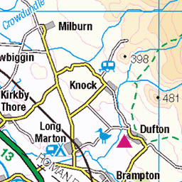
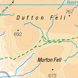
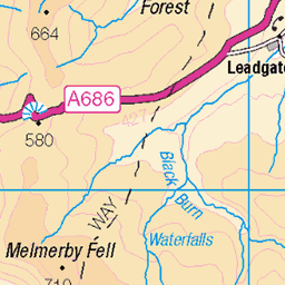
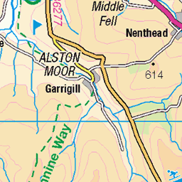
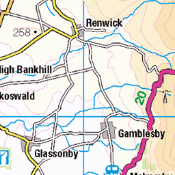
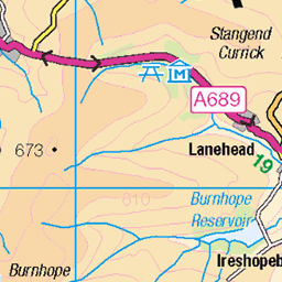
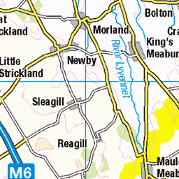
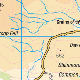
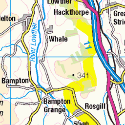
OS Map of Little Dun Fell
Height: 842m / 2762ft • Prominence: 59m / 194ft • Summit : no feature: ground 8m NE of cairn • Trip reports (hill-bagging)


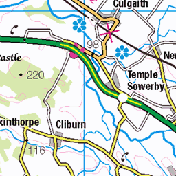
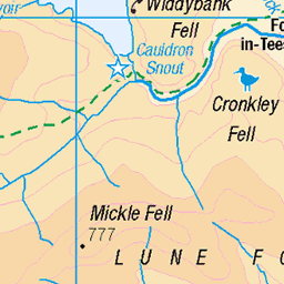
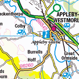
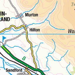
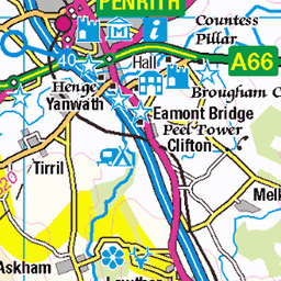
OS Map
This is OS mapping. In some areas, OpenStreetMap shows more footpaths
Spatial NI has online OSNI mapping. Click "Basemap Gallery" (4 squares icon at the top).
Now would be a good time for a cup of tea.
GPX Editor
Record map clicks
Reload map
Photos
Please tag your photos and upload them to the British and Irish Mountains group on Flickr
The other photos have been geo-tagged as on or around the summit. For less busy mountains, it can be a little hit and miss.


Videos
The Jaguar I-Pace shrugged off the steep inclines, twisting tarmac and near freezing temperatures of the UK's highest paved road ...
Seguimos rumbo norte por el Lake District y probamos la segunda subida más alta de los Peninos: el Great Dun Fell. Conocida ...
A 14.5 mile walk from Kirkland, the route heads up to Cross Fell via the bothy of Greg's Hut. From Cross Fell the route heads over ...
With a family trip planned to Cumbria, it was the perfect time to take on The Great Dun Fell, and it lived up to the name. I really ...
Notes
- Data: Database of British and Irish Hills v18.2
- Maps: We use OS mapping for England, Scotland, Wales, and the Isle of Man. Sadly, Channel Islands, Northern (OSNI) and Southern Ireland (OSI) mapping isn't available online, so we use Openstreetmap.