Hills of Britain and Ireland
OS Map of Cunswick Scar


OS Map
This is OS mapping. In some areas, OpenStreetMap shows more footpaths
Spatial NI has online OSNI mapping. Click "Basemap Gallery" (4 squares icon at the top).
Now would be a good time for a cup of tea.
GPX Editor
Record map clicks
Reload map
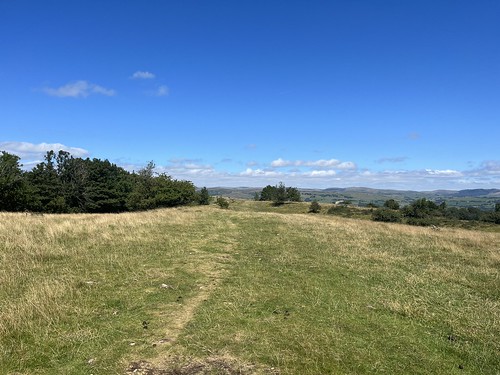
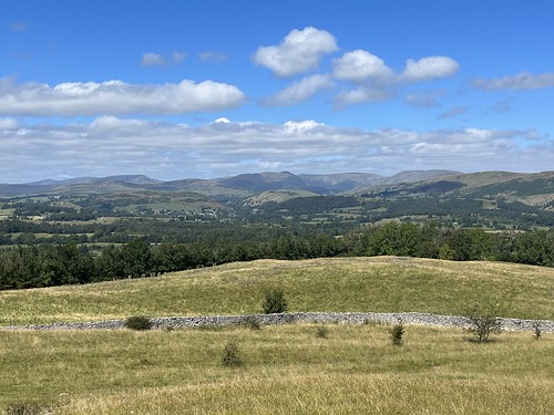
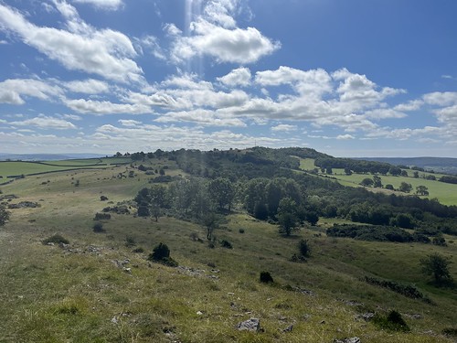
Photos
Please tag your photos and upload them to the British and Irish Mountains group on Flickr
The other photos have been geo-tagged as on or around the summit. For less busy mountains, it can be a little hit and miss.


Videos
An afternoon walk over Cunswick and Scout Scars above Kendal. Wainwright descibed it as....A walk above all others, A pleasure ...
To help my filming https://gofund.me/48b06f8 Or buy me a Ko-Fi: https://ko-fi.com/beckywilloughby In association with @gr8ful ...
In association with @gr8ful https://gr8ful.co.uk/ Helm Hill Runners' 2022 Kendal Winter League (sponsored by Different Strokes ...
Race number 8: Sunday 1st March on the edge of Kendal. The one with the stiles and views.
Idling time between gigs, me and Winnie took in a little fresh air. We're really looking forward to the new tourist season in the lakes ...
Notes
- Data: Database of British and Irish Hills v18.2
- Maps: We use OS mapping for England, Scotland, Wales, and the Isle of Man. Sadly, Channel Islands, Northern (OSNI) and Southern Ireland (OSI) mapping isn't available online, so we use Openstreetmap.