Hills of Britain and Ireland
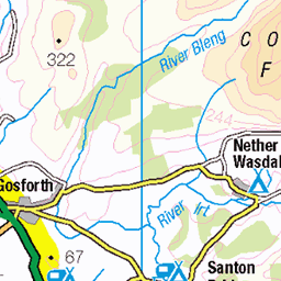
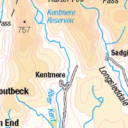
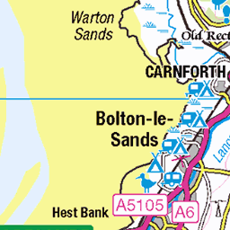
OS Map of Tottlebank Height
Height: 236m / 774ft • Prominence: 25m / 82ft • Summit : cairn on rock • Trip reports (hill-bagging)


7e802348-53
First of the Cumbria Way panoramas.
16-May-24 • ProfMarkRoberts • flickr
cumbriaway england uk landscapes panorama 53756581972

7e802359-64
This is a tarn, a glacial lake.
16-May-24 • ProfMarkRoberts • flickr
cumbriaway england uk landscapes panorama 53757905045

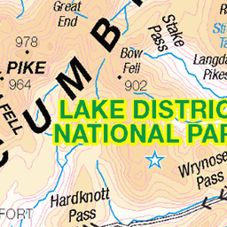
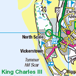
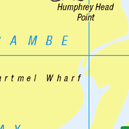
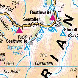
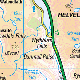
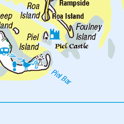
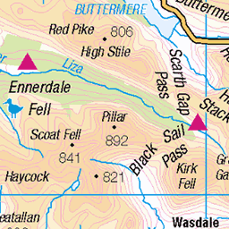
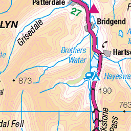
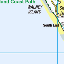
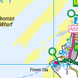
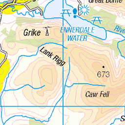
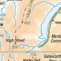
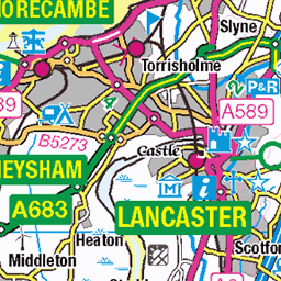
OS Map
This is OS mapping. In some areas, OpenStreetMap shows more footpaths
Spatial NI has online OSNI mapping. Click "Basemap Gallery" (4 squares icon at the top).
Now would be a good time for a cup of tea.


GPX Editor
Record map clicks
Reload map
Photos
Please tag your photos and upload them to the British and Irish Mountains group on Flickr
The other photos have been geo-tagged as on or around the summit. For less busy mountains, it can be a little hit and miss.
7e802348-53
First of the Cumbria Way panoramas.
16-May-24 • ProfMarkRoberts • flickr
cumbriaway england uk landscapes panorama 53756581972
7e802359-64
This is a tarn, a glacial lake.
16-May-24 • ProfMarkRoberts • flickr
cumbriaway england uk landscapes panorama 53757905045


Beacon Tarn and the Coniston Fells
This video is 26 seconds long.
03-Mar-24 • Paul Austin Murphy • flickr
53635562949

Beacon Tarn and the Coniston Fells
03-Mar-24 • Paul Austin Murphy • flickr
conistonfells 53616557061

2695 Tottlebank Height b
Warm walk after parking at Woodland Church. Up the lane towards Green Moor then off piste to Yew Bank. Path of sorts to Fisher High, then onward to Wool Bank, Tottlebank Heights and then Blawith Knott. Then road back to church picking up 5 rivets on the way. Name:Tottlebank Height Hill number:2695 Height:236m / 774ft Parent (Ma):2668 Kirkby Moor [Lowick High Common] RHB Section:34D: Southern Cumbria Nuttall/Wainwright area:Lake District - Southern Fells County/UA:Cumbria (CoU) Catchment:Leven (Ulverston) Class:Wainwright Outlying Fell Grid ref:SD 26923 88512 Summit feature:cairn on rock Drop:26m Col:210m SD263885
18-Apr-18 • Dugswell2 • flickr
wainwrightoutlyingfell tottlebankheight p26 40933935244

2695 Tottlebank Height c
18-Apr-18 • Dugswell2 • flickr
tottlebankheight p26 wainwrightoutlyingfell 40933942114
Videos
None found
Notes
- Data: Database of British and Irish Hills v18.2
- Maps: We use OS mapping for England, Scotland, Wales, and the Isle of Man. Sadly, Channel Islands, Northern (OSNI) and Southern Ireland (OSI) mapping isn't available online, so we use Openstreetmap.