Hills of Britain and Ireland
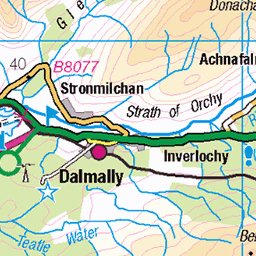
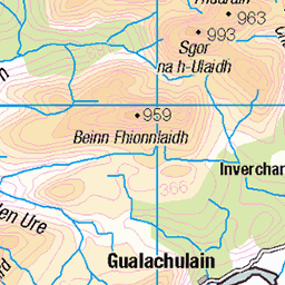
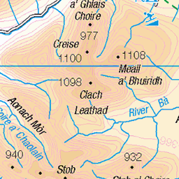
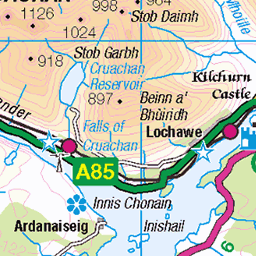
OS Map of Meall Garbh
Height: 700m / 2298ft • Prominence: 259m / 850ft • Summit : outcrop 15m ESE of main cairn • Trip reports (hill-bagging)

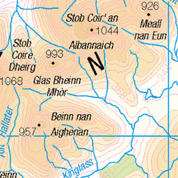
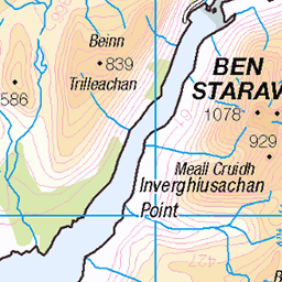
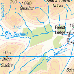
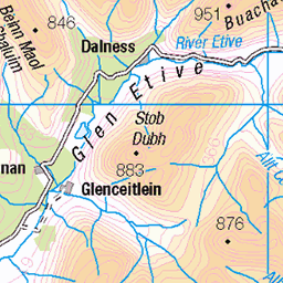
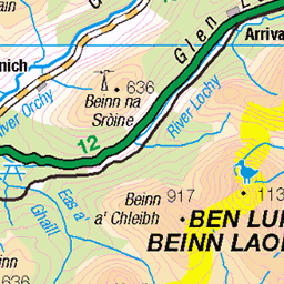
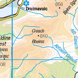
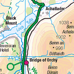
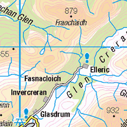
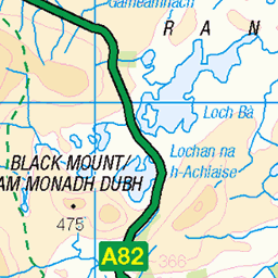
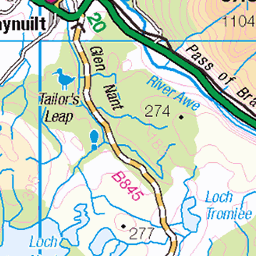
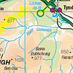
OS Map
This is OS mapping. In some areas, OpenStreetMap shows more footpaths
Spatial NI has online OSNI mapping. Click "Basemap Gallery" (4 squares icon at the top).
Now would be a good time for a cup of tea.
GPX Editor
Record map clicks
Reload map
Photos
Please tag your photos and upload them to the British and Irish Mountains group on Flickr
The other photos have been geo-tagged as on or around the summit. For less busy mountains, it can be a little hit and miss.
Videos
No.57, Beinn Sgulaird, Date walked: 06/07/2014, Time taken: 4.75 hours, 13 km/8.2 miles, Ascent: 1240m. Time for the hills again.
Beinn a Chochuill & Beinn eunaich A great day to get 2 Munro's in the bag.
Notes
- Data: Database of British and Irish Hills v18.2
- Maps: We use OS mapping for England, Scotland, Wales, and the Isle of Man. Sadly, Channel Islands, Northern (OSNI) and Southern Ireland (OSI) mapping isn't available online, so we use Openstreetmap.