Hills of Britain and Ireland
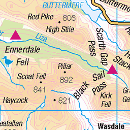
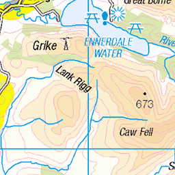
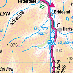
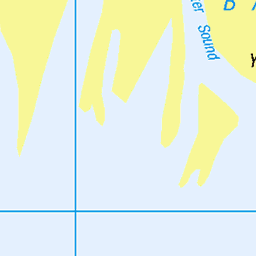
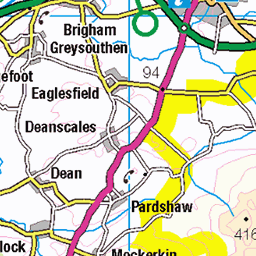
OS Map of Great Stickle
Height: 305m / 1001ft • Prominence: 26m / 85ft • Summit : cairn on rock 5m SW of trig point • Trip reports (hill-bagging)


Falls, Broughton Mills 2
broughtonmills waterfall river licklevalley rock autumn cascade 53575043575

Falls, Broughton Mills 1
broughtonmills waterfall river licklevalley rock autumn cascade 53574601531
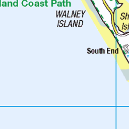
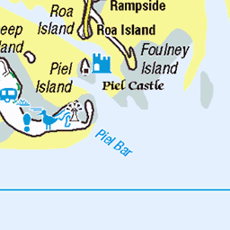
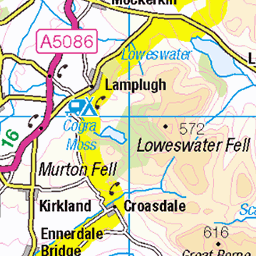
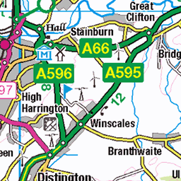
OS Map
This is OS mapping. In some areas, OpenStreetMap shows more footpaths
Spatial NI has online OSNI mapping. Click "Basemap Gallery" (4 squares icon at the top).
Now would be a good time for a cup of tea.


GPX Editor
Record map clicks
Reload map
Photos
Please tag your photos and upload them to the British and Irish Mountains group on Flickr
The other photos have been geo-tagged as on or around the summit. For less busy mountains, it can be a little hit and miss.
Falls, Broughton Mills 2
broughtonmills waterfall river licklevalley rock autumn cascade 53575043575
Falls, Broughton Mills 1
broughtonmills waterfall river licklevalley rock autumn cascade 53574601531


The Duddon Estuary
from the edge of the Dunnerdale fells
eveninglight dunnerdale duddonestuary licklevalley shadows sea clouds wpd24nature 53438860264
Videos
lakesmtb Music used in this video Copyright owners SME, WMG, The Richmond Organization (TRO) On behalf of: ...
Taking on the mighty waterfalls and cliff jumps of Esk Ghyll. Great full day ghyll scrambling experience.
After a very long lock down, YOLO embark on their first 'Summer Camp' of 2020. Thursday arrival at Coppice Park Coniston, ...
A circular hike, starting in Coniston Village, that goes to the popular Old Man of Coniston summit but takes in the lesser known ...
The view from Wasdale Head towards Kirk Fell and Great Gable as the sun rises in the English Lake District. Whilst people are ...
Notes
- Data: Database of British and Irish Hills v18.2
- Maps: We use OS mapping for England, Scotland, Wales, and the Isle of Man. Sadly, Channel Islands, Northern (OSNI) and Southern Ireland (OSI) mapping isn't available online, so we use Openstreetmap.