Hills of Britain and Ireland
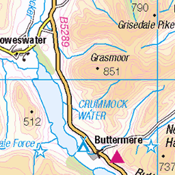
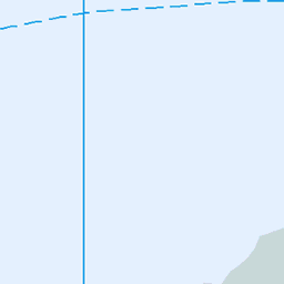
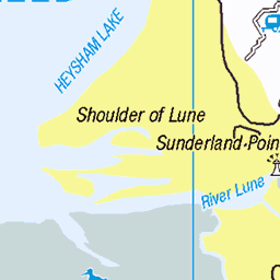
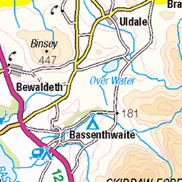
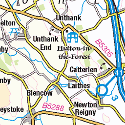
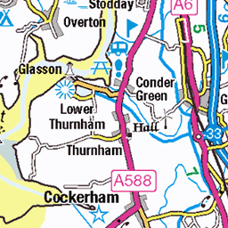
OS Map of Carron Crag
Height: 314m / 1030ft • Prominence: 74m / 243ft • Summit : rock 2m NE of trig point • Trip reports (hill-bagging)


RUUP by Birgit Õigus
One of the many fine sculptures seen on the Grizedale Sculpture Trails in Grizedale forest, Cumbria. "The title RUUP is derived from the Estonian word Ruupor which translates as megaphone. The sculptures were originally designed by Estonian artist Birgit Õigus during a residency in a forest in Estonia. Responding to this location, Õigus decided to create a structure which would encourage people to stop and listen to the sounds of the forest, to act as shelters for walkers and also become mini stages for live performances. " I increased contrast, cropped slightly and added a hopefully subtle vignette in post.
24-Oct-23 • flindersan • flickr
53309641517

Grizedale Forest and Claife Heights
04-Aug-23 • brian.phillips57 • flickr
england unitedkingdom grizedale emtb 53189290489

Grizedale Forest and Claife Heights
04-Aug-23 • brian.phillips57 • flickr
england unitedkingdom grizedale emtb 53188505787

Grizedale Forest and Claife Heights
04-Aug-23 • brian.phillips57 • flickr
england unitedkingdom grizedale emtb 53189225171

Grizedale Forest and Claife Heights
04-Aug-23 • brian.phillips57 • flickr
england unitedkingdom grizedale emtb 53189300104
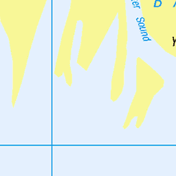
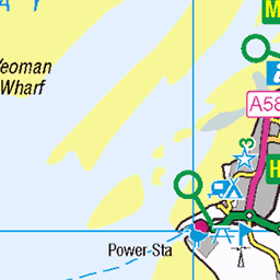
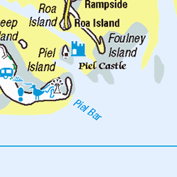
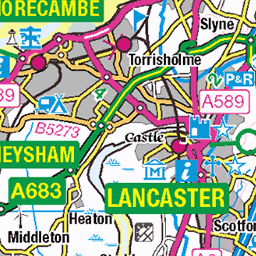
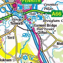
OS Map
This is OS mapping. In some areas, OpenStreetMap shows more footpaths
Spatial NI has online OSNI mapping. Click "Basemap Gallery" (4 squares icon at the top).
Now would be a good time for a cup of tea.


GPX Editor
Record map clicks
Reload map
Photos
Please tag your photos and upload them to the British and Irish Mountains group on Flickr
The other photos have been geo-tagged as on or around the summit. For less busy mountains, it can be a little hit and miss.
RUUP by Birgit Õigus
One of the many fine sculptures seen on the Grizedale Sculpture Trails in Grizedale forest, Cumbria. "The title RUUP is derived from the Estonian word Ruupor which translates as megaphone. The sculptures were originally designed by Estonian artist Birgit Õigus during a residency in a forest in Estonia. Responding to this location, Õigus decided to create a structure which would encourage people to stop and listen to the sounds of the forest, to act as shelters for walkers and also become mini stages for live performances. " I increased contrast, cropped slightly and added a hopefully subtle vignette in post.
24-Oct-23 • flindersan • flickr
53309641517
Grizedale Forest and Claife Heights
04-Aug-23 • brian.phillips57 • flickr
england unitedkingdom grizedale emtb 53189290489
Grizedale Forest and Claife Heights
04-Aug-23 • brian.phillips57 • flickr
england unitedkingdom grizedale emtb 53188505787
Grizedale Forest and Claife Heights
04-Aug-23 • brian.phillips57 • flickr
england unitedkingdom grizedale emtb 53189225171
Grizedale Forest and Claife Heights
04-Aug-23 • brian.phillips57 • flickr
england unitedkingdom grizedale emtb 53189300104

Grizedale Forest and Claife Heights
04-Aug-23 • brian.phillips57 • flickr
england unitedkingdom grizedale emtb 53189596493

2674 Carron Crag
Grey & windy walk from our accommodation for 5 nights at Thurston bagging benchmarks en route. Carron Crag followed by The Park [Park Crags] and then Top o' Selside revisit. Then bag along the minor road.
31-Dec-21 • Dugswell2 • flickr
trigpoint tump carroncragtrigpoint carroncrag p66 wainwrightoutlyingfell birkett synge 51799955209

2674 Carron Crag a
Name:Carron Crag Hill number:2674 Height:314m / 1030ft Parent (Ma):2667 Top o' Selside RHB Section:34D: Southern Cumbria Nuttall/Wainwright area:Lake District - Southern Fells County/UA:Cumbria (CoU) Catchment:Leven (Ulverston) Class:Tump (300-399m), Wainwright Outlying Fell, Birkett, Synge Grid ref:SD 32529 94337 Summit feature:rock 2m NE of trig point Drop:66m Col:248m SD310927
31-Dec-21 • Dugswell2 • flickr
trigpoint tump carroncragtrigpoint carroncrag p66 wainwrightoutlyingfell birkett synge 51800324415

2674 Carron Crag b
31-Dec-21 • Dugswell2 • flickr
trigpoint tump carroncragtrigpoint carroncrag p66 wainwrightoutlyingfell birkett synge 51800325445

Walking in the Landscape Part 3
Part 1 of Poem published in Black Nature In Residence Zine 2
53958877410

Walking in the Landscape Part 2
Part 2 of Poem published in Black Nature In Residence Zine 2
53958877405

Videos
Drone flight around the trig point with the DJI mini 3 pro.
Very autumnal conditions around the forest today with a carpet of leaves covering the trails. Was a bit slippery and boggy in ...
The North Face Trail is our dedicated red graded single-track mountain bike route. It is made up of 9 sections forming a 10.5-mile ...
A 12 mile walk around Grizedale Forest, starting from near Satterthwaite the route heads north and ascends Carron Crag before ...
Receding Twins take a light-heated ramble from Satterthwaithe up to Carron Crag, down to Grizedale and back to Satterthwaite ...
Notes
- Data: Database of British and Irish Hills v18.2
- Maps: We use OS mapping for England, Scotland, Wales, and the Isle of Man. Sadly, Channel Islands, Northern (OSNI) and Southern Ireland (OSI) mapping isn't available online, so we use Openstreetmap.