Hills of Britain and Ireland
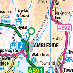
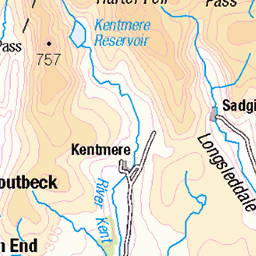
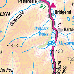
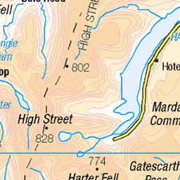
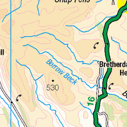
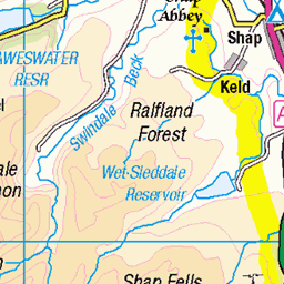
OS Map of High Knott

Long grass on Hugill Fell
hugillfellandrestonscarwalk walk lakedistrict lakedistrictjuly2024 cumbria hugillfell staveley 54341217414

Trees on Reston Scar
hugillfellandrestonscarwalk restonscar walk lakedistrict lakedistrictjuly2024 cumbria staveley 54341001586

It's like a forest on Reston Scar
hugillfellandrestonscarwalk restonscar walk lakedistrict lakedistrictjuly2024 cumbria staveley 54341421085

Hugill Fell hides behind the trees
staveley lakedistrict hugillfellandrestonscarwalk hugillfell walk lakedistrictjuly2024 restonscar cumbria 54340102122

The summit cairn of Reston Scar
staveley cairn lakedistrict hugillfellandrestonscarwalk walk lakedistrictjuly2024 restonscar cumbria 54341217349

On top of the world!
Well, okay, Reston Scar.
staveley cairn lakedistrict hugillfellandrestonscarwalk walk lakedistrictjuly2024 restonscar cumbria 54341227223
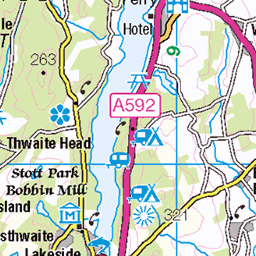
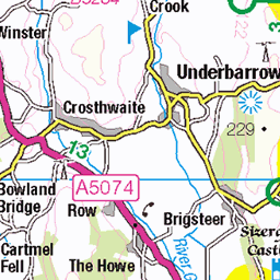
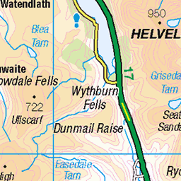
OS Map
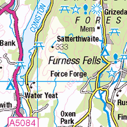
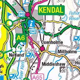
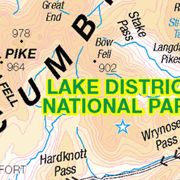
This is OS mapping. In some areas, OpenStreetMap shows more footpaths
Spatial NI has online OSNI mapping. Click "Basemap Gallery" (4 squares icon at the top).
Now would be a good time for a cup of tea.

GPX Editor
Record map clicks
Reload map
Photos
Please tag your photos and upload them to the British and Irish Mountains group on Flickr
The other photos have been geo-tagged as on or around the summit. For less busy mountains, it can be a little hit and miss.
Long grass on Hugill Fell
hugillfellandrestonscarwalk walk lakedistrict lakedistrictjuly2024 cumbria hugillfell staveley 54341217414
Trees on Reston Scar
hugillfellandrestonscarwalk restonscar walk lakedistrict lakedistrictjuly2024 cumbria staveley 54341001586
It's like a forest on Reston Scar
hugillfellandrestonscarwalk restonscar walk lakedistrict lakedistrictjuly2024 cumbria staveley 54341421085
Hugill Fell hides behind the trees
staveley lakedistrict hugillfellandrestonscarwalk hugillfell walk lakedistrictjuly2024 restonscar cumbria 54340102122
The summit cairn of Reston Scar
staveley cairn lakedistrict hugillfellandrestonscarwalk walk lakedistrictjuly2024 restonscar cumbria 54341217349
On top of the world!
Well, okay, Reston Scar.
staveley cairn lakedistrict hugillfellandrestonscarwalk walk lakedistrictjuly2024 restonscar cumbria 54341227223

Hugill Fell, seen from the top of Reston Scar
hugillfellandrestonscarwalk restonscar walk lakedistrict lakedistrictjuly2024 cumbria staveley 54340101982

The view from the top of Reston Scar
hugillfellandrestonscarwalk restonscar walk lakedistrict lakedistrictjuly2024 cumbria staveley 54341217274

Looking over to Brunt Knott
From Reston Scar.
staveley lakedistrict hugillfellandrestonscarwalk walk lakedistrictjuly2024 restonscar cumbria bruntknott 54341420855

A view of the village of Staveley
As we begin our descent back to the village.
hugillfellandrestonscarwalk restonscar walk lakedistrict lakedistrictjuly2024 cumbria staveley 54341001406
Videos
A walk to the Outlying Fell of Finsthwaite Heights from Newby Bridge, visiting Waterside Knott, Finsthwaite and High Dam. Except ...
A walk over the Wainwright Outlying Fells of Grandsire and School Knott, Using the bus made for a beautiful day with far reaching ...
A walk up Green Quarter Fell an outlying fell. A quiet day in the Far Eastern Fells on a Bank Holiday Music from ...
Starting in Sadgill on the river Sprint the route ascends to the top of Wray Cragg and Shipman Knotts in the dark with some of the ...
A fine walk on grassy paths with views over the Far Eastern Fells https://jimearl6.com/a-harter-fell-round-from-sadgill/#more-6671 ...
Notes
- Data: Database of British and Irish Hills v18.2
- Maps: We use OS mapping for England, Scotland, Wales, and the Isle of Man. Sadly, Channel Islands, Northern (OSNI) and Southern Ireland (OSI) mapping isn't available online, so we use Openstreetmap.