Hills of Britain and Ireland
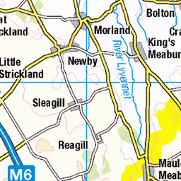
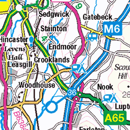
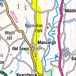
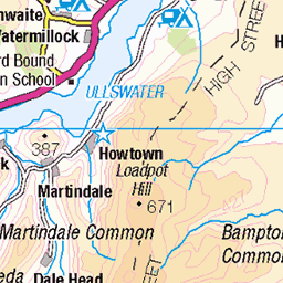
OS Map of Lamb Pasture


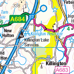
The Road From Kendal to Shap
It meets the M6 eventually.
15-Jan-24 • Paul Austin Murphy • flickr
53466207441


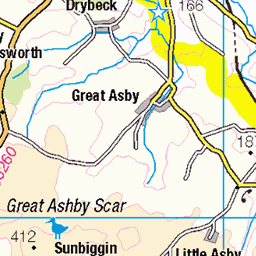
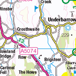
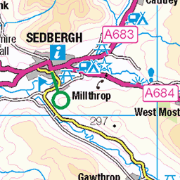
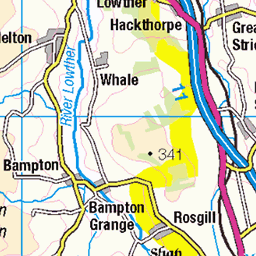
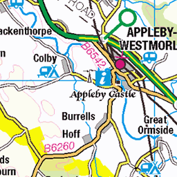
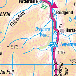
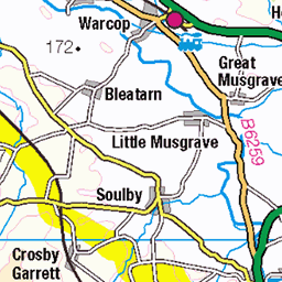
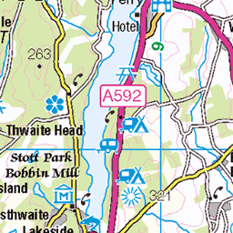
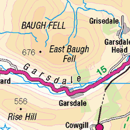
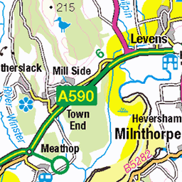
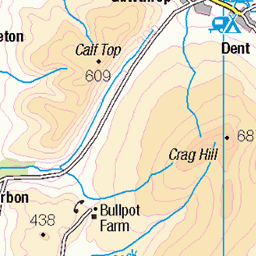
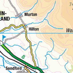
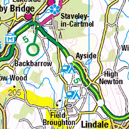
OS Map
This is OS mapping. In some areas, OpenStreetMap shows more footpaths
Spatial NI has online OSNI mapping. Click "Basemap Gallery" (4 squares icon at the top).
Now would be a good time for a cup of tea.

GPX Editor
Record map clicks
Reload map
Photos
Please tag your photos and upload them to the British and Irish Mountains group on Flickr
The other photos have been geo-tagged as on or around the summit. For less busy mountains, it can be a little hit and miss.
The Road From Kendal to Shap
It meets the M6 eventually.
15-Jan-24 • Paul Austin Murphy • flickr
53466207441

1GL Pivot, Bannisdale Tollhouse, A6 near Forest Hall, Kendal
www.bench-marks.org.uk/bm80946" rel="nofollow www.bench-marks.org.uk/bm80946
19-Apr-18 • Houlie - Windermere • flickr
26690231317

1GL Pivot, Bannisdale Tollhouse, A6 near Forest Hall, Kendal
www.bench-marks.org.uk/bm80946" rel="nofollow www.bench-marks.org.uk/bm80946
19-Apr-18 • Houlie - Windermere • flickr
41558614991

1GL Pivot, Bannisdale Tollhouse, A6 near Forest Hall, Kendal
www.bench-marks.org.uk/bm80946" rel="nofollow www.bench-marks.org.uk/bm80946
19-Apr-18 • Houlie - Windermere • flickr
40847314004

Looking up at Heaven's Boulevard
28-Dec-16 • Luc Le Blanc • flickr
longexposure stars nightsky canon canonuk lakedistrict cumbria england northwest beautiful trees forest love star nature mothernature teamcanon sigma sigmalenses dream explore adventure infinity astrometrydotnet:id=nova1894342 astrometrydotnet:status=solved 31273576193
Videos
None found
Notes
- Data: Database of British and Irish Hills v18.2
- Maps: We use OS mapping for England, Scotland, Wales, and the Isle of Man. Sadly, Channel Islands, Northern (OSNI) and Southern Ireland (OSI) mapping isn't available online, so we use Openstreetmap.