Hills of Britain and Ireland
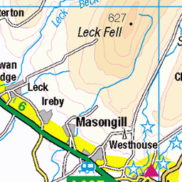
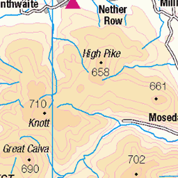
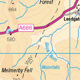
OS Map of Todd Fell


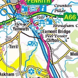
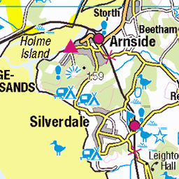
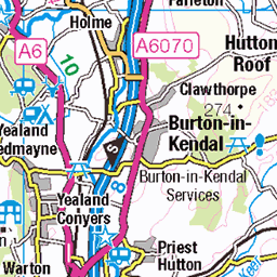
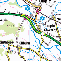
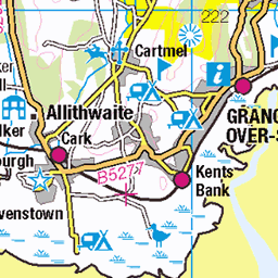
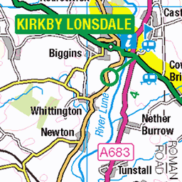
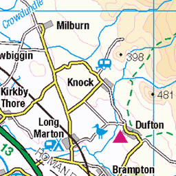
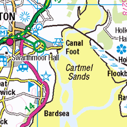
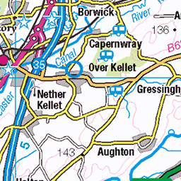
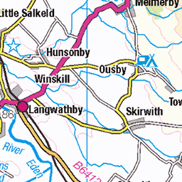
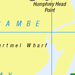
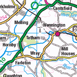
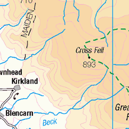
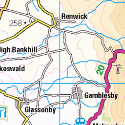
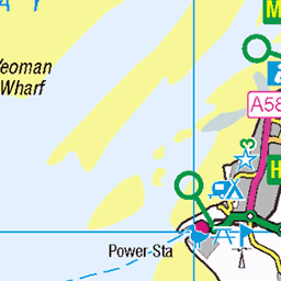
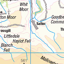
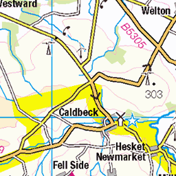
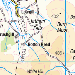
OS Map
This is OS mapping. In some areas, OpenStreetMap shows more footpaths
Spatial NI has online OSNI mapping. Click "Basemap Gallery" (4 squares icon at the top).
Now would be a good time for a cup of tea.


GPX Editor
Record map clicks
Reload map
Photos
Please tag your photos and upload them to the British and Irish Mountains group on Flickr
The other photos have been geo-tagged as on or around the summit. For less busy mountains, it can be a little hit and miss.


Videos
loughriggfell #wainwrights #lakedistrict #wainwright214 #walkingthewainwrights #wainwrightwalks In this video artist Andy Beck ...
1½ miles east of Ambleside in the English Lake District lies Wansfell, a Wainwright, and a perennial favourite walk for visitors to ...
Hello Babs! Come with us on our first ever hike and we chose Loughrigg Fell to be our very first hike. This was deemed a beginner ...
I was born and grew up in Cumbria and since moving away in 2004, I return twice a year in Spring and Autumn to Ambleside in ...
outlyingfells #wainwrights #lakedistrict #walkingthewainwrights #wainwrightwalks Orrest Head is a low lying fell just to the east of ...
Notes
- Data: Database of British and Irish Hills v18.2
- Maps: We use OS mapping for England, Scotland, Wales, and the Isle of Man. Sadly, Channel Islands, Northern (OSNI) and Southern Ireland (OSI) mapping isn't available online, so we use Openstreetmap.