Hills of Britain and Ireland
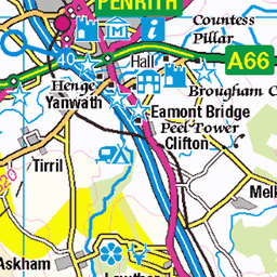
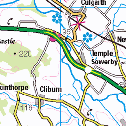
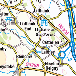
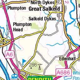
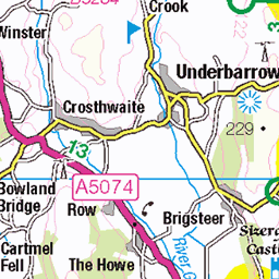
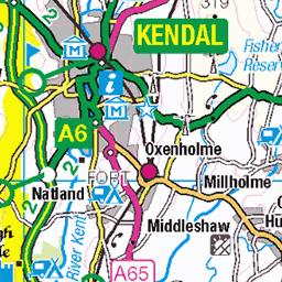
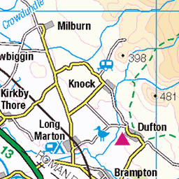
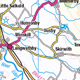
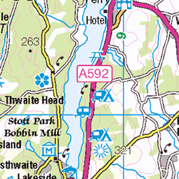
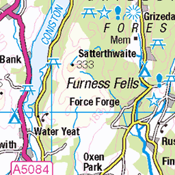
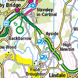
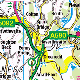
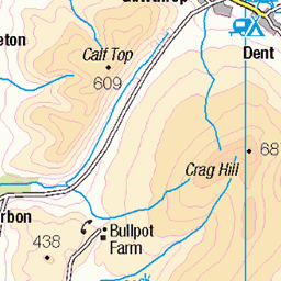
OS Map of Fewling Stones
Height: 509m / 1670ft • Prominence: 12m / 39ft • Summit : tiny cairn on rocky outcrop • Trip reports (hill-bagging)


Bampton Grange to Wet Sleddale and back-42
12-Jul-24 • Paul Dykes • flickr
england uk gb unitedkingdom cumbria lakedistrict northernengland englishcountryside 53861621853

Bampton Grange to Wet Sleddale and back-43
12-Jul-24 • Paul Dykes • flickr
england uk gb unitedkingdom cumbria lakedistrict northernengland englishcountryside 53861372091
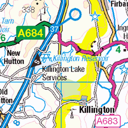
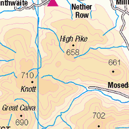
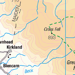
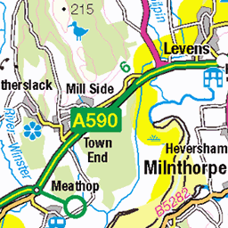
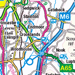
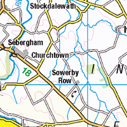
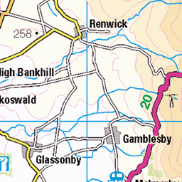
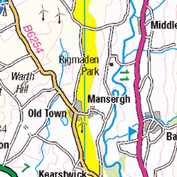
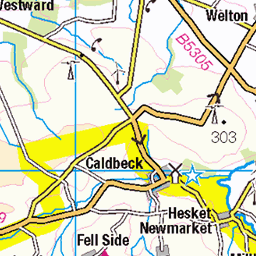
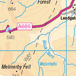
OS Map
This is OS mapping. In some areas, OpenStreetMap shows more footpaths
Spatial NI has online OSNI mapping. Click "Basemap Gallery" (4 squares icon at the top).
Now would be a good time for a cup of tea.


GPX Editor
Record map clicks
Reload map
Photos
Please tag your photos and upload them to the British and Irish Mountains group on Flickr
The other photos have been geo-tagged as on or around the summit. For less busy mountains, it can be a little hit and miss.
Bampton Grange to Wet Sleddale and back-42
12-Jul-24 • Paul Dykes • flickr
england uk gb unitedkingdom cumbria lakedistrict northernengland englishcountryside 53861621853
Bampton Grange to Wet Sleddale and back-43
12-Jul-24 • Paul Dykes • flickr
england uk gb unitedkingdom cumbria lakedistrict northernengland englishcountryside 53861372091

Bampton Grange to Wet Sleddale and back-45
12-Jul-24 • Paul Dykes • flickr
england uk gb unitedkingdom cumbria lakedistrict northernengland englishcountryside 53860474762

Bampton Grange to Wet Sleddale and back-46
12-Jul-24 • Paul Dykes • flickr
england uk gb unitedkingdom cumbria lakedistrict northernengland englishcountryside 53861736904

Green Lane
A green lane near Swindale in the Lake District
27-Aug-21 • Stuart.67 • flickr
england unitedkingdom penrith green wall nikon lakedistrict hills lane z7ii 51486266855

Videos
Eagle Eyed 7B (FA) boulder problem at Mardale Head Boulders, Lake District, Cumbria Music: Nightmare on Wax - Soul Purpose.
Notes
- Data: Database of British and Irish Hills v18.2
- Maps: We use OS mapping for England, Scotland, Wales, and the Isle of Man. Sadly, Channel Islands, Northern (OSNI) and Southern Ireland (OSI) mapping isn't available online, so we use Openstreetmap.