Hills of Britain and Ireland
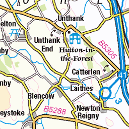
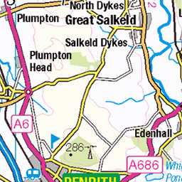
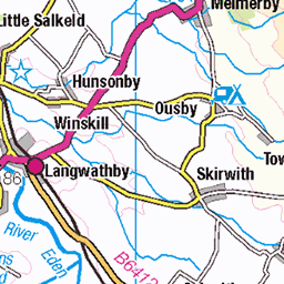
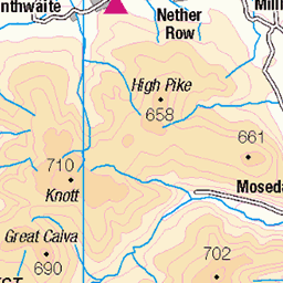
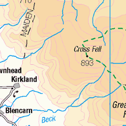
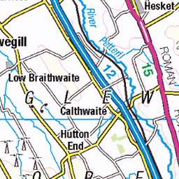
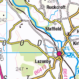
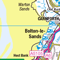
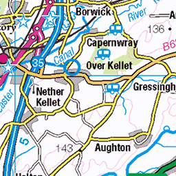
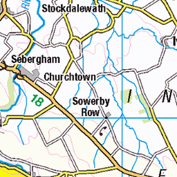
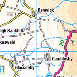
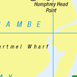
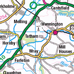
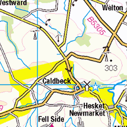
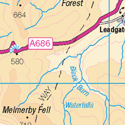
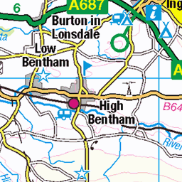
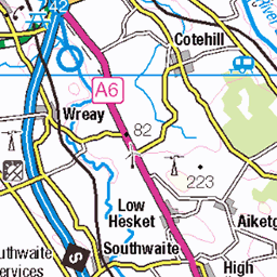
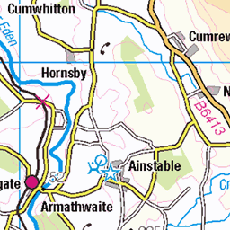
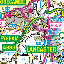
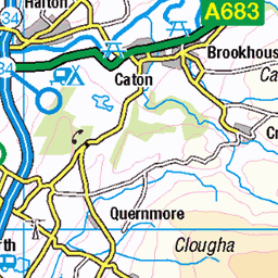
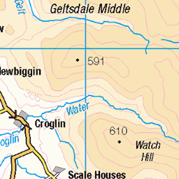
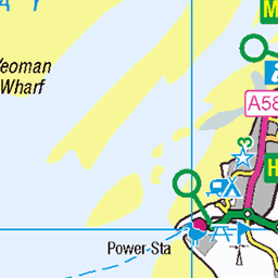
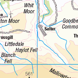
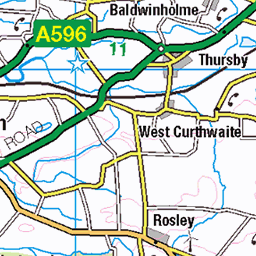
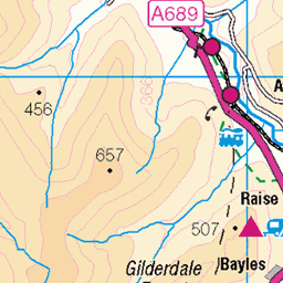
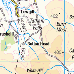
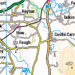
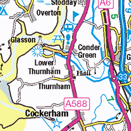
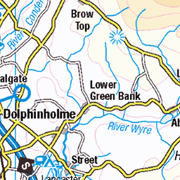
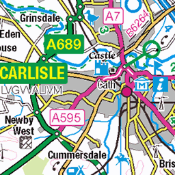
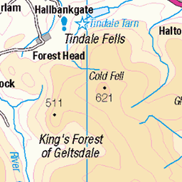
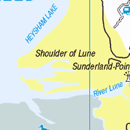
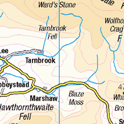
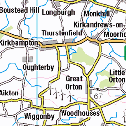
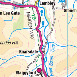
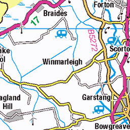
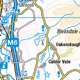
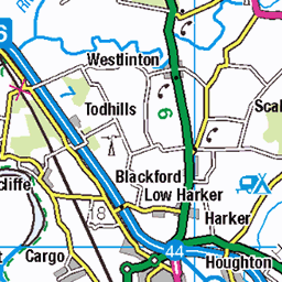
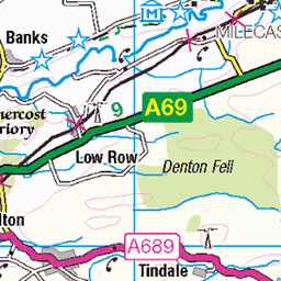
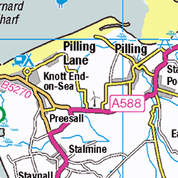
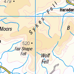
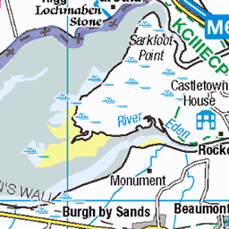
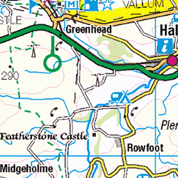
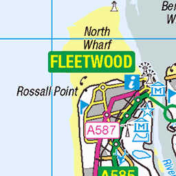
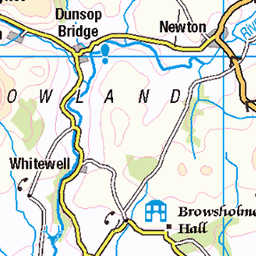
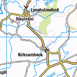
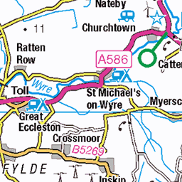
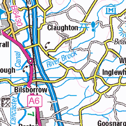
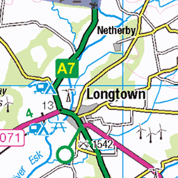
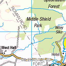
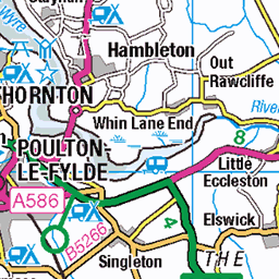
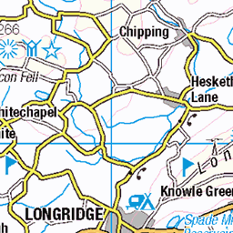
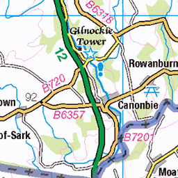
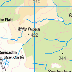
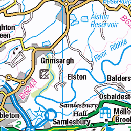
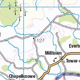
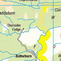
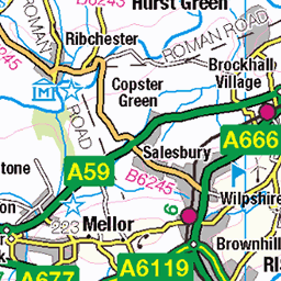
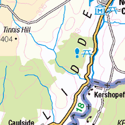
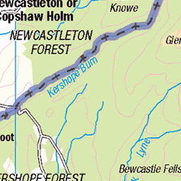
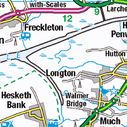
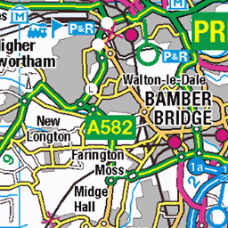
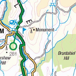
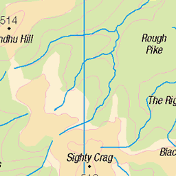
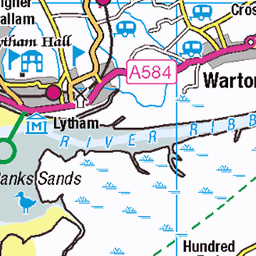
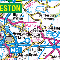
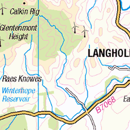
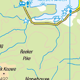
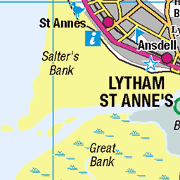
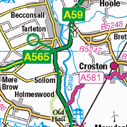
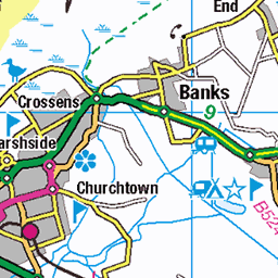
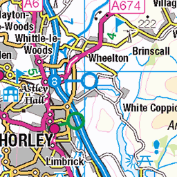
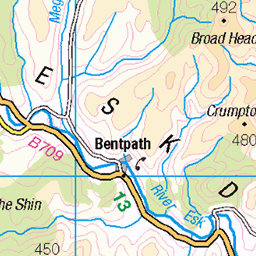
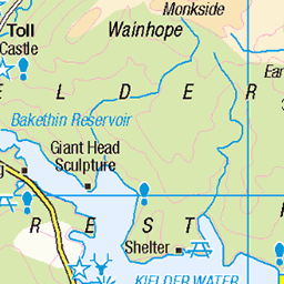
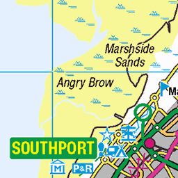
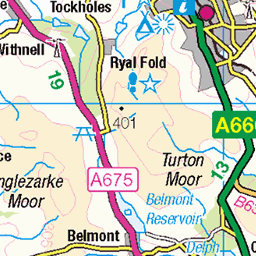
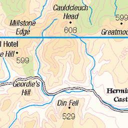
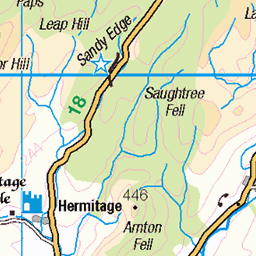
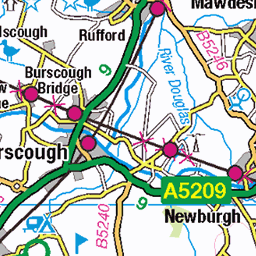
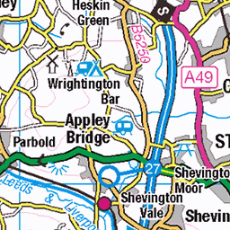
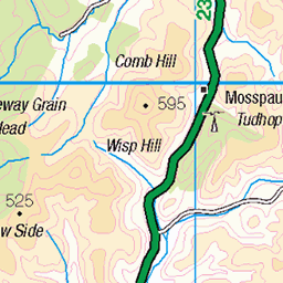
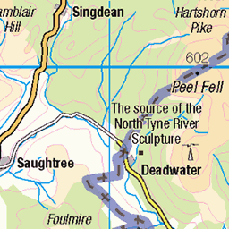
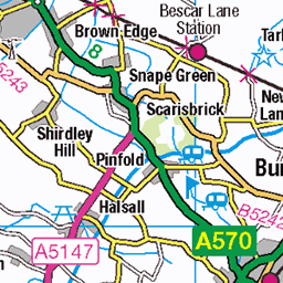
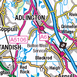
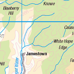
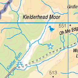
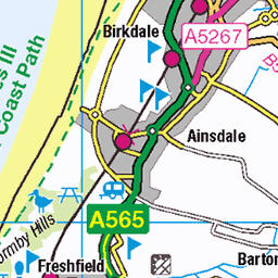
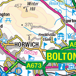
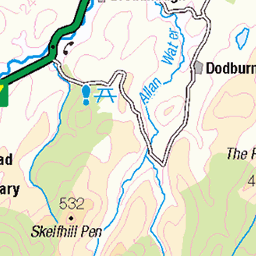
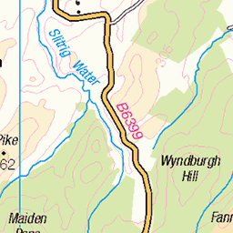
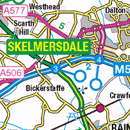
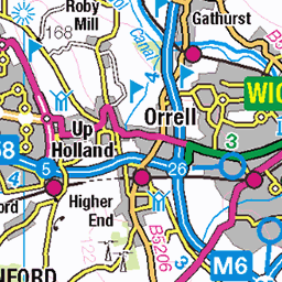
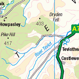
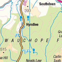
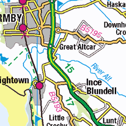
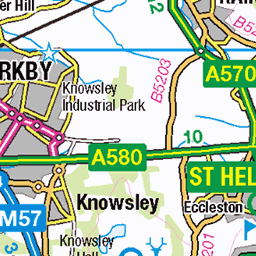
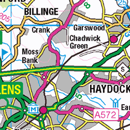
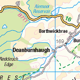
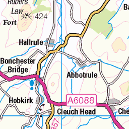
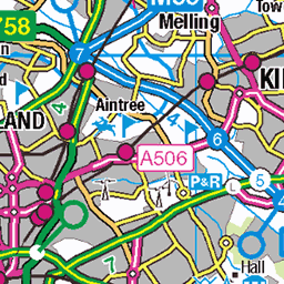
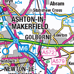
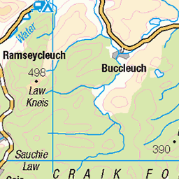
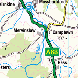
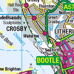
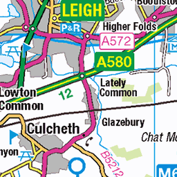
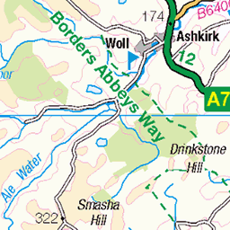
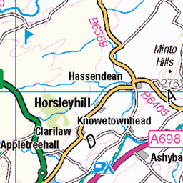
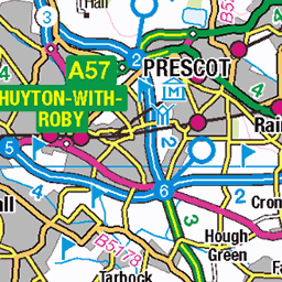
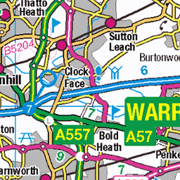
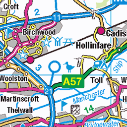
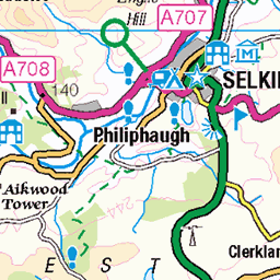
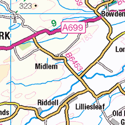
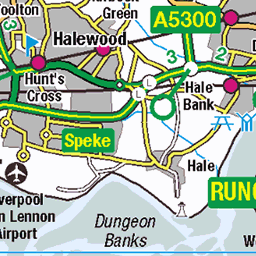
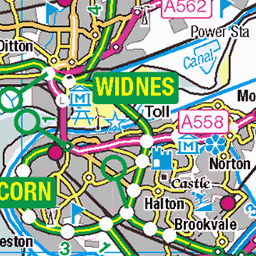
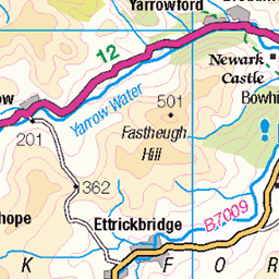
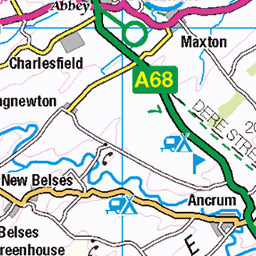
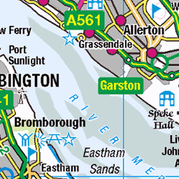
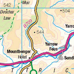
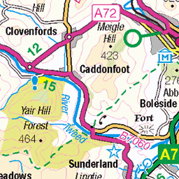
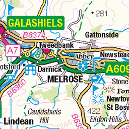
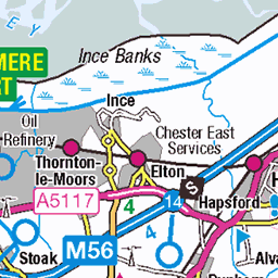
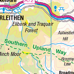
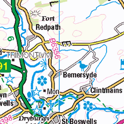
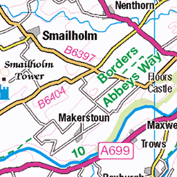
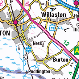
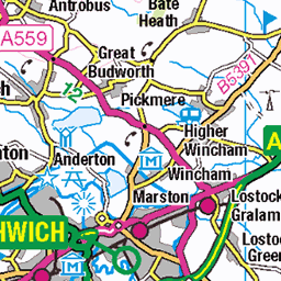
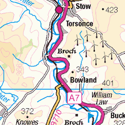
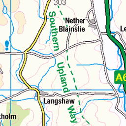
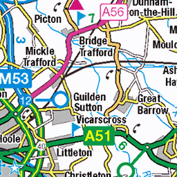
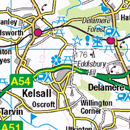
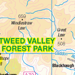
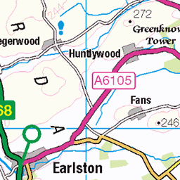
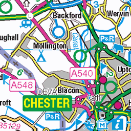
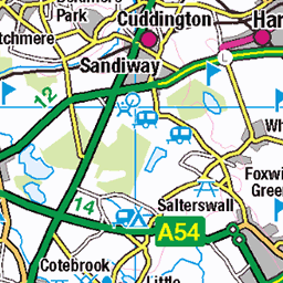
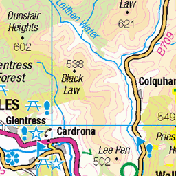
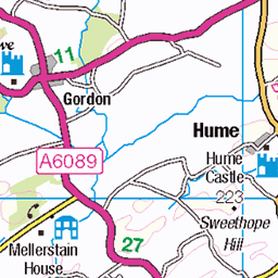
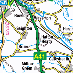
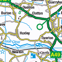
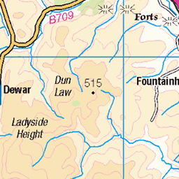
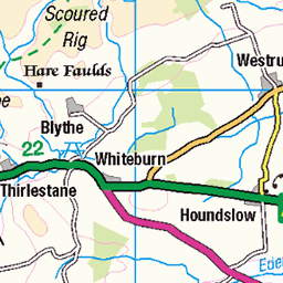
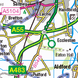
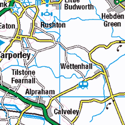
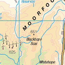
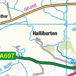
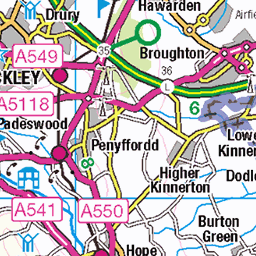
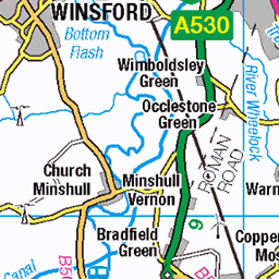
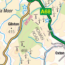
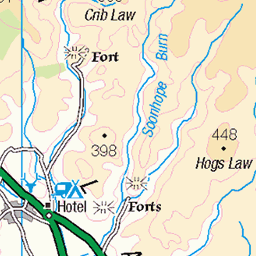
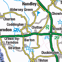
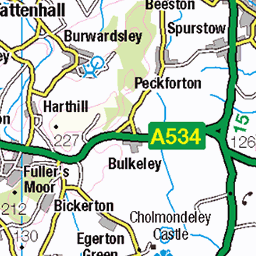
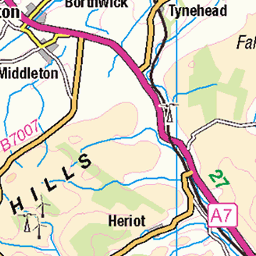
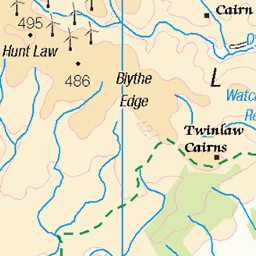
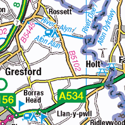
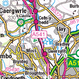
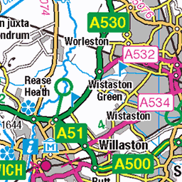
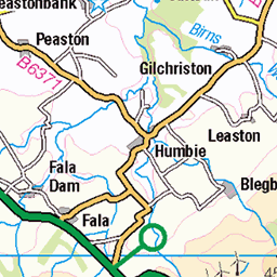
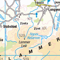
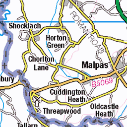
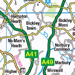
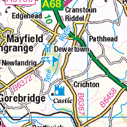
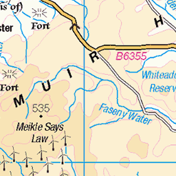
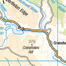
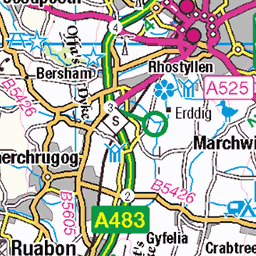
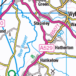
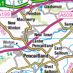
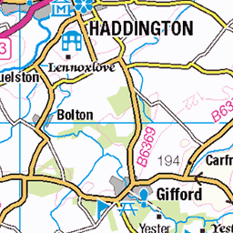
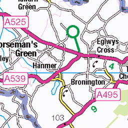
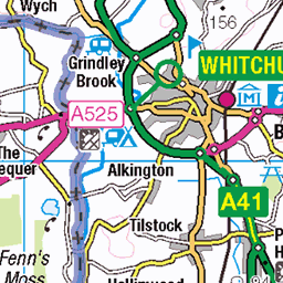
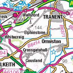
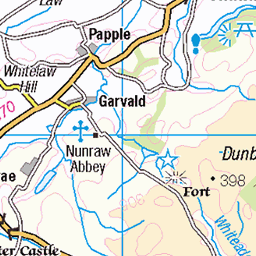
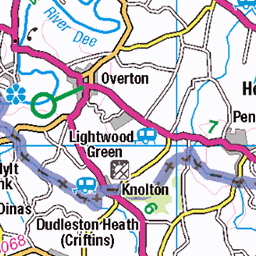
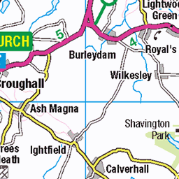
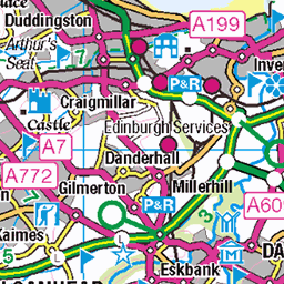
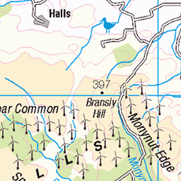
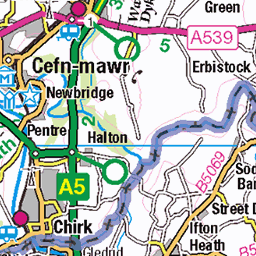
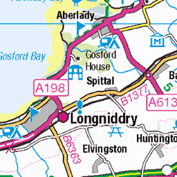
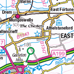
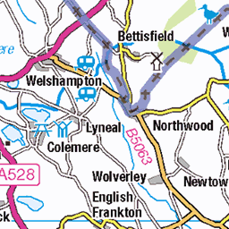
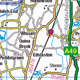
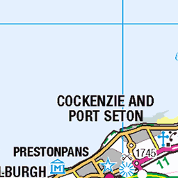
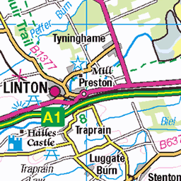
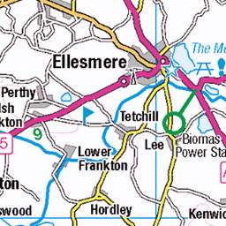
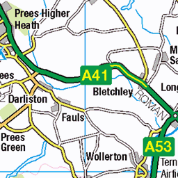
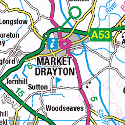
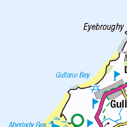
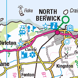
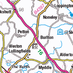
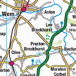
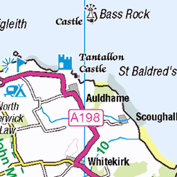
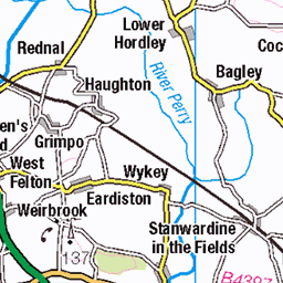
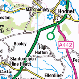
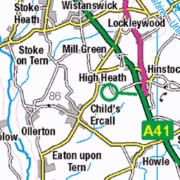
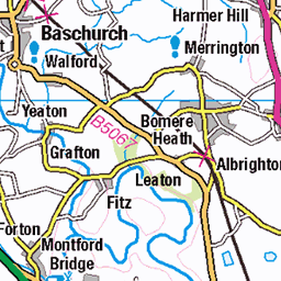
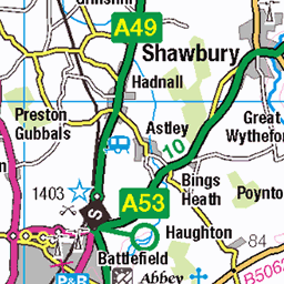
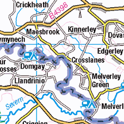
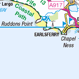
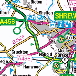
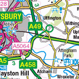
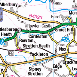
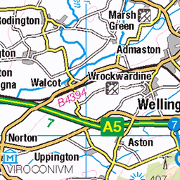
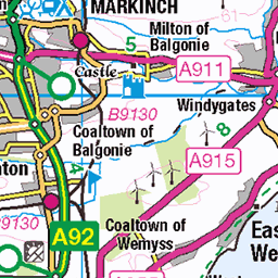
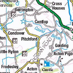
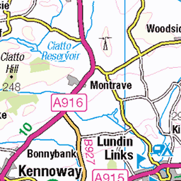
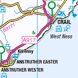
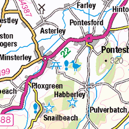
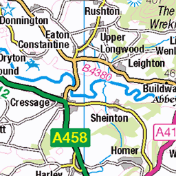
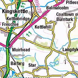
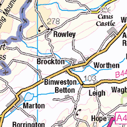
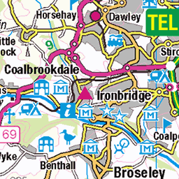
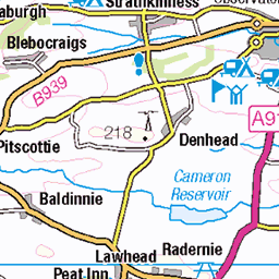
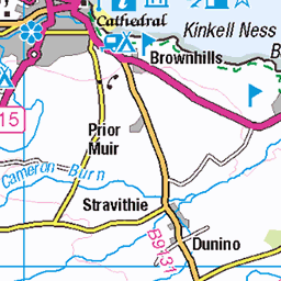
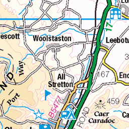
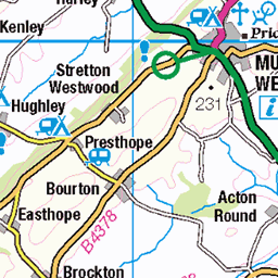
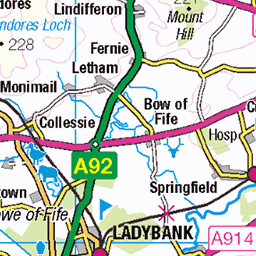
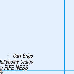
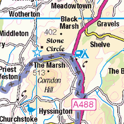
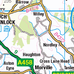
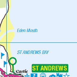
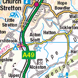
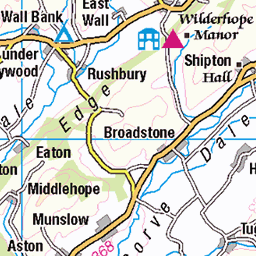
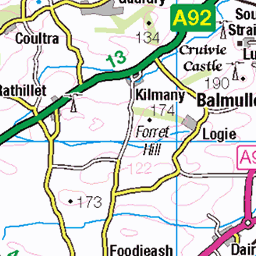
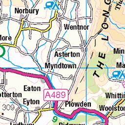
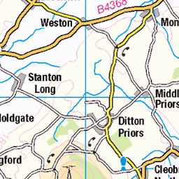
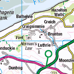
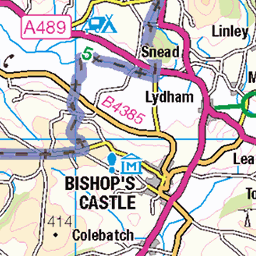
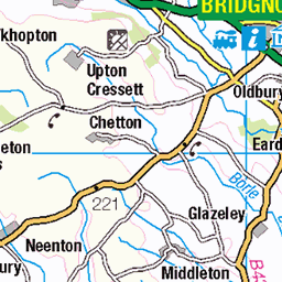
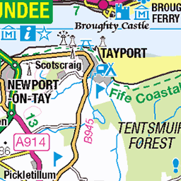
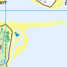
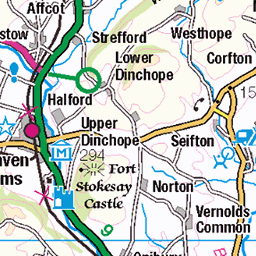
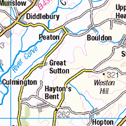
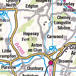
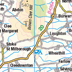
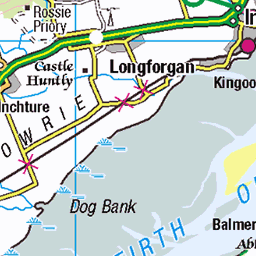
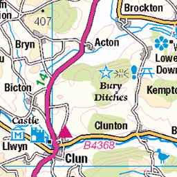
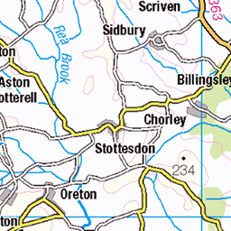
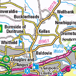
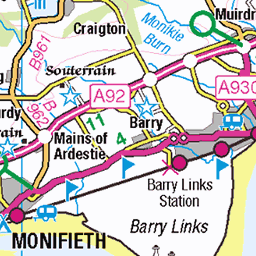
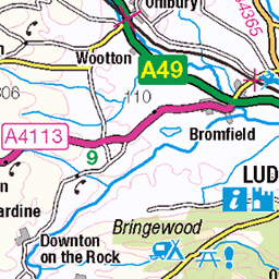
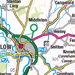
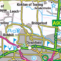
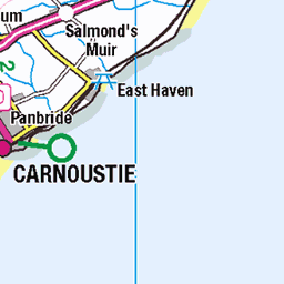
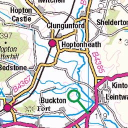
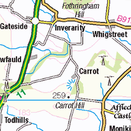
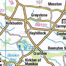
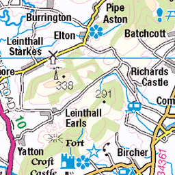
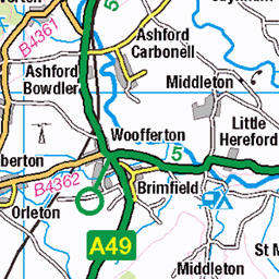
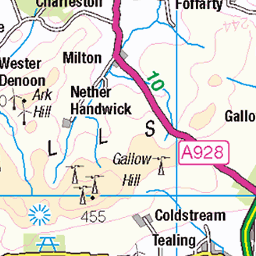
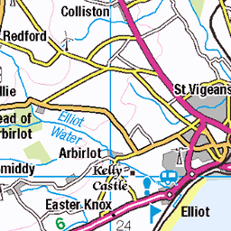
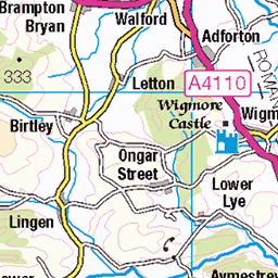
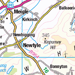
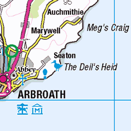
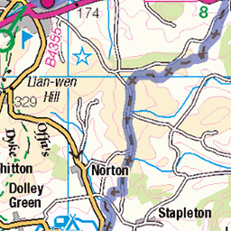
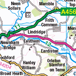
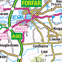
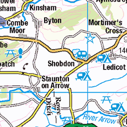
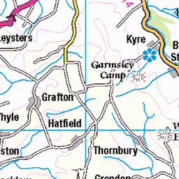
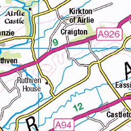
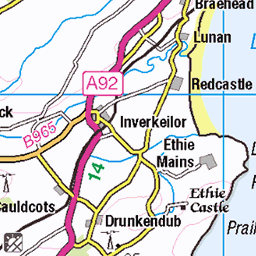
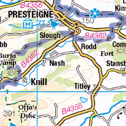
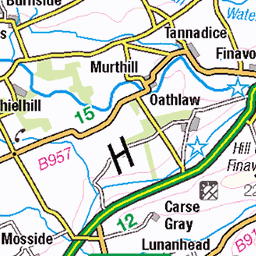
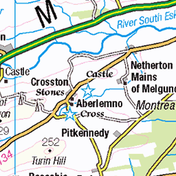
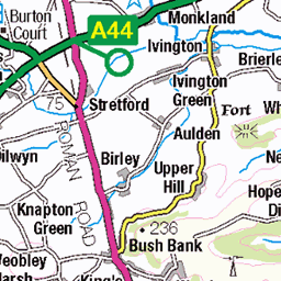
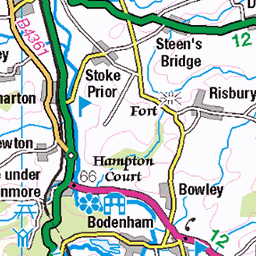
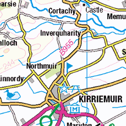
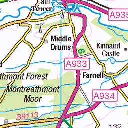
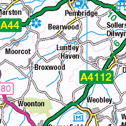
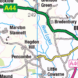
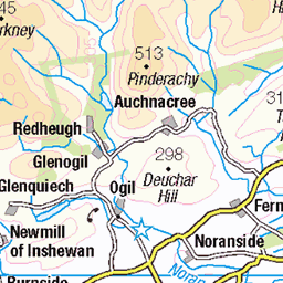
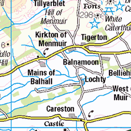
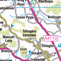
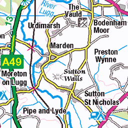
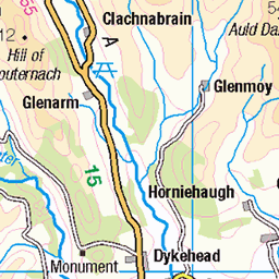
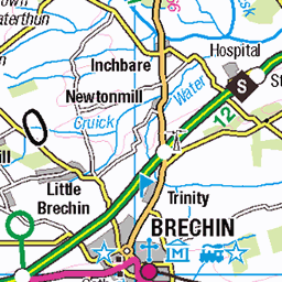
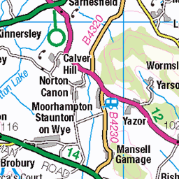
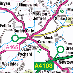
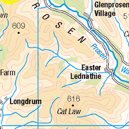
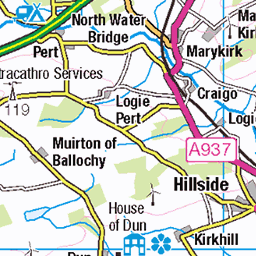
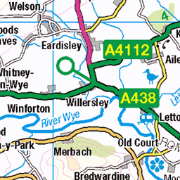
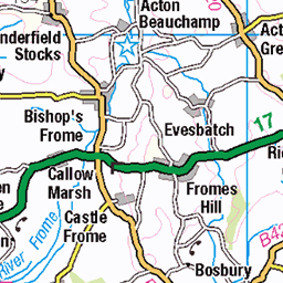
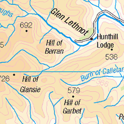
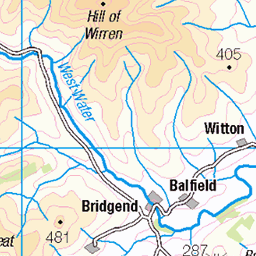
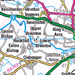
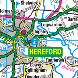
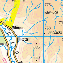
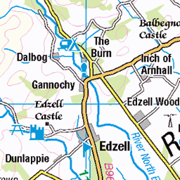
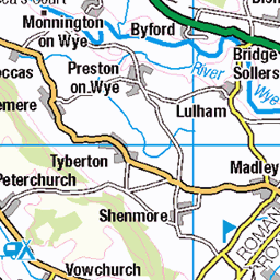
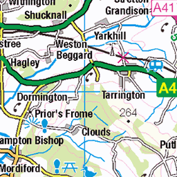
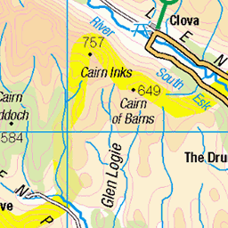
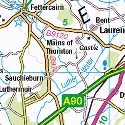
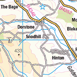
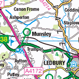
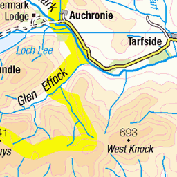
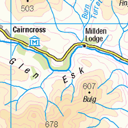
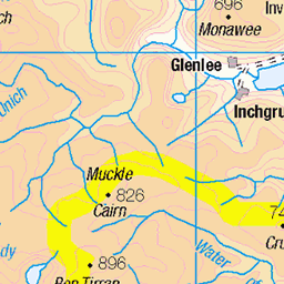
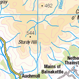
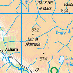
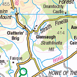
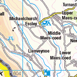
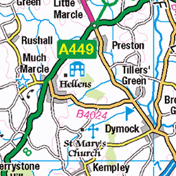
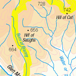
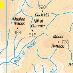
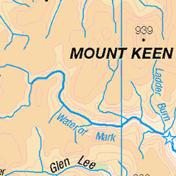
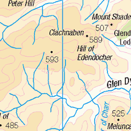
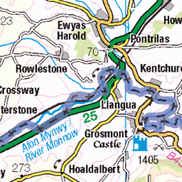
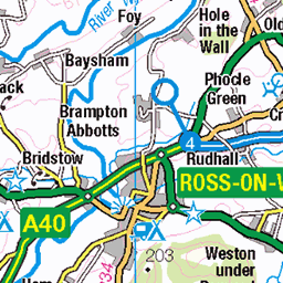
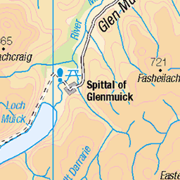
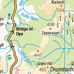
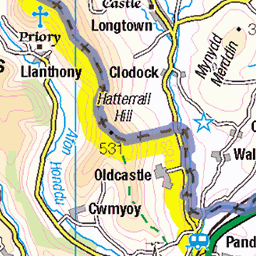
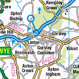
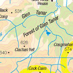
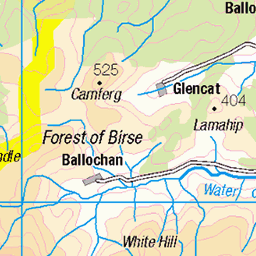
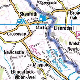
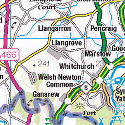
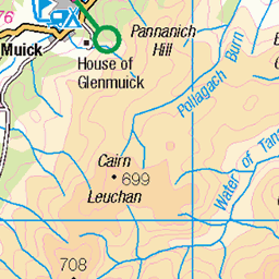
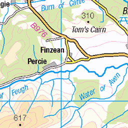
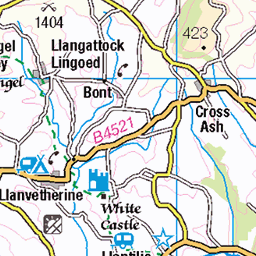
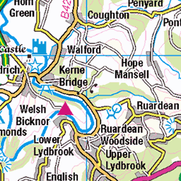
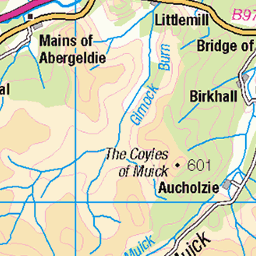
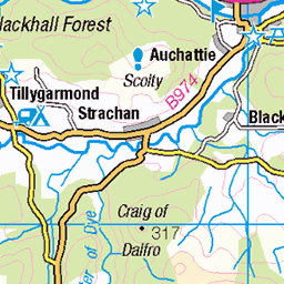
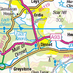
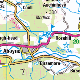
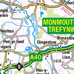
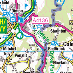
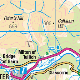
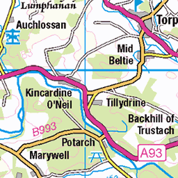
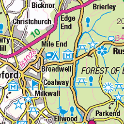
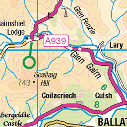
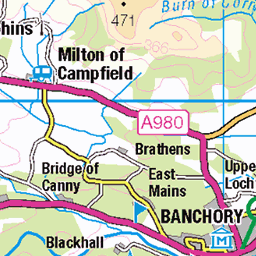
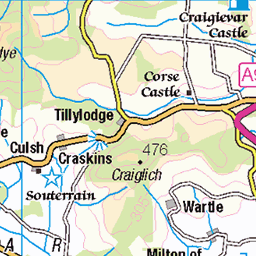
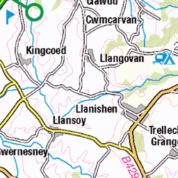
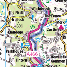
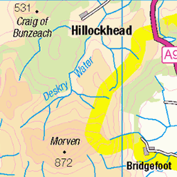
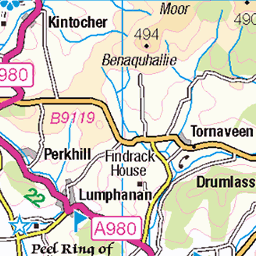
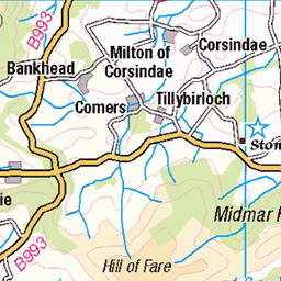
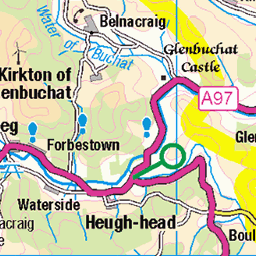
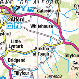
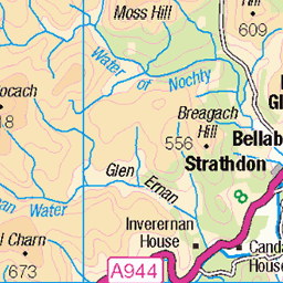
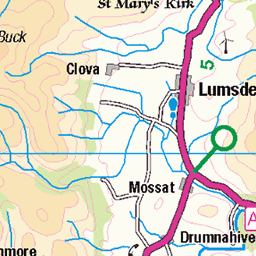
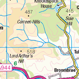
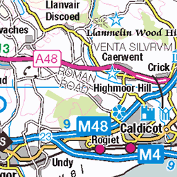
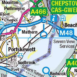
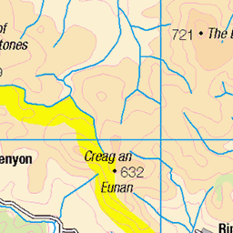
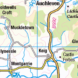
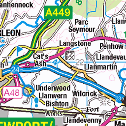
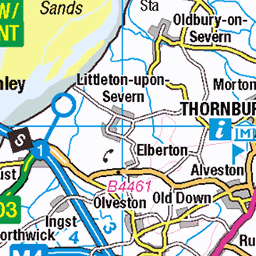
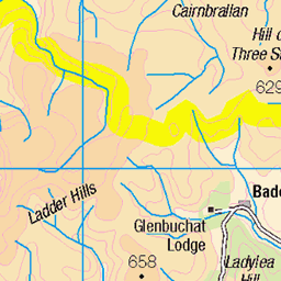
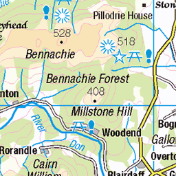
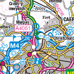
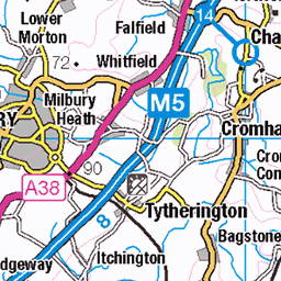
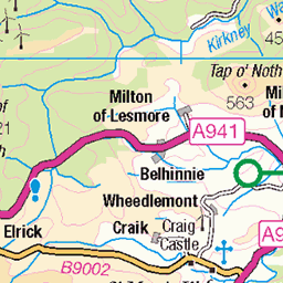
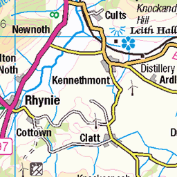
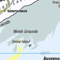
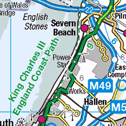
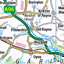
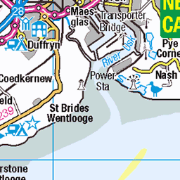
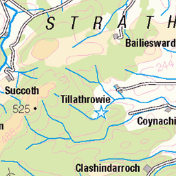
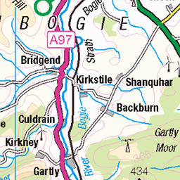
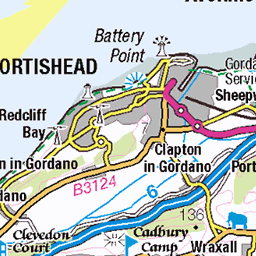
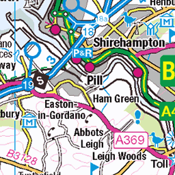
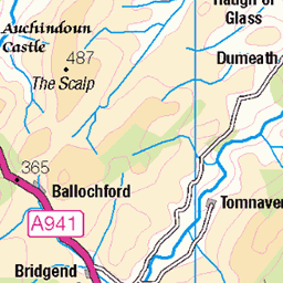
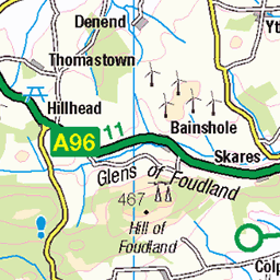
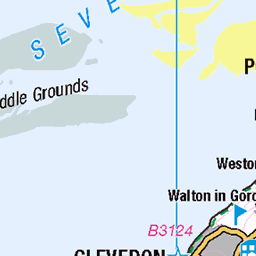
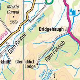
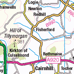
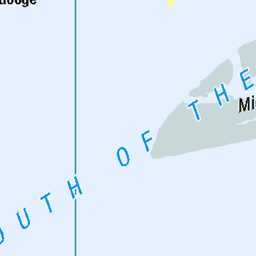
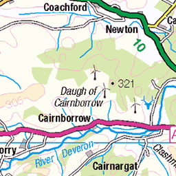
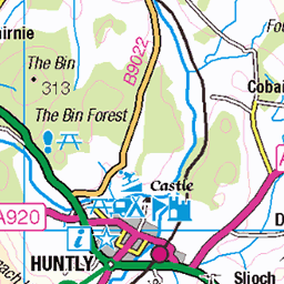
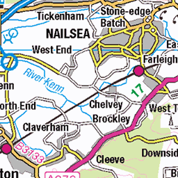
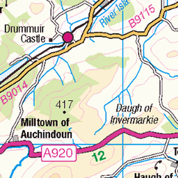
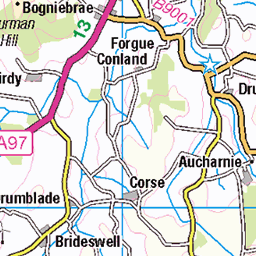
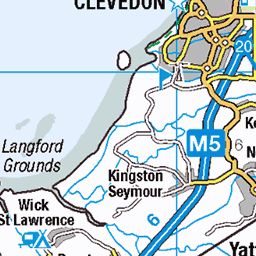
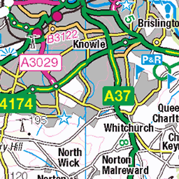
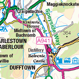
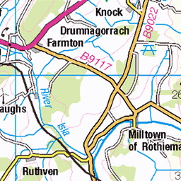
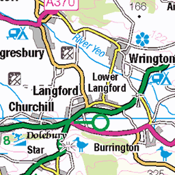
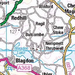
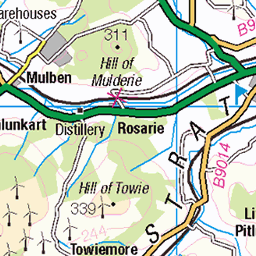
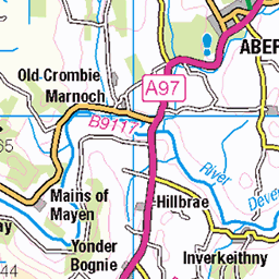
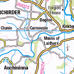
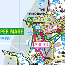
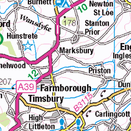
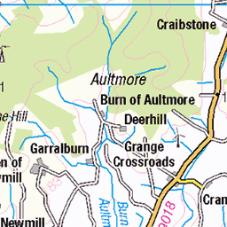
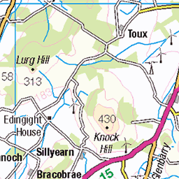
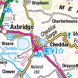
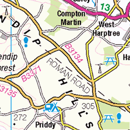
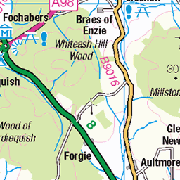
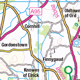
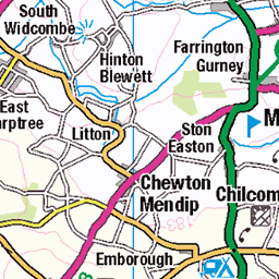
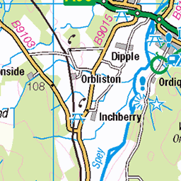
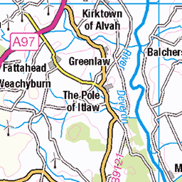
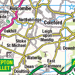
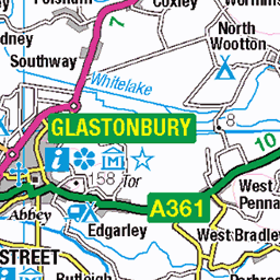
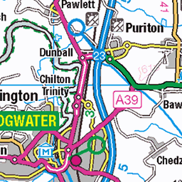
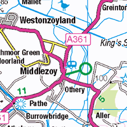
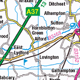
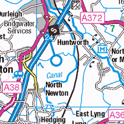
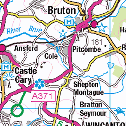
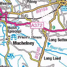
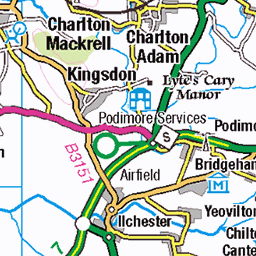
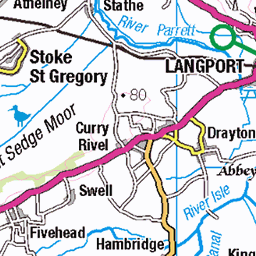
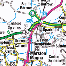
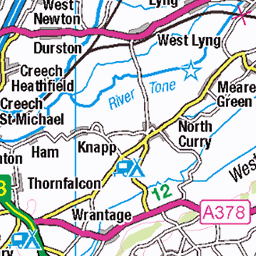
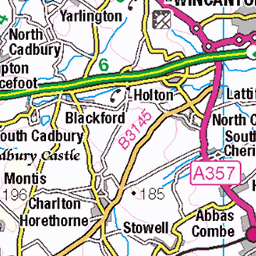
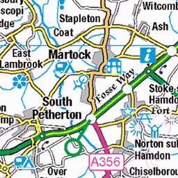
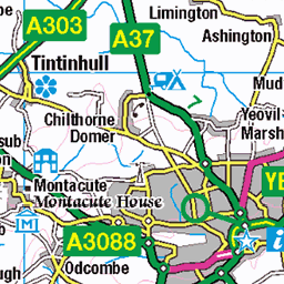
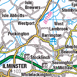
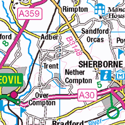
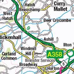
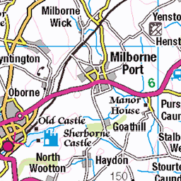
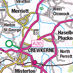
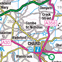
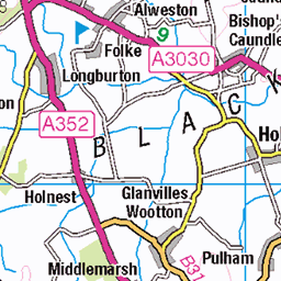
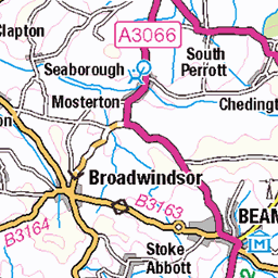
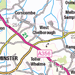
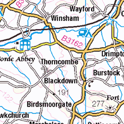
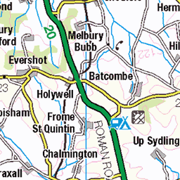
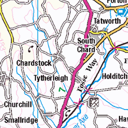
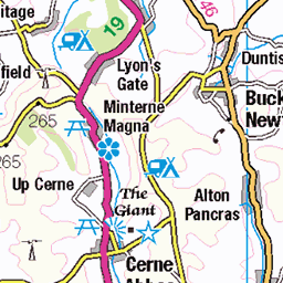
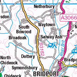
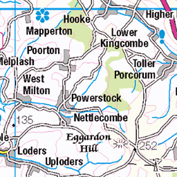
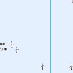
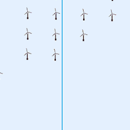
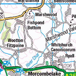
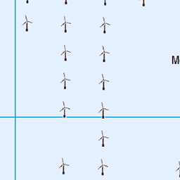
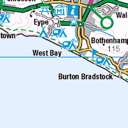
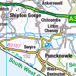
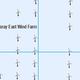
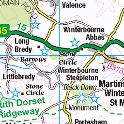
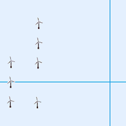
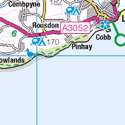
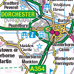
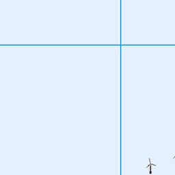
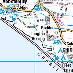
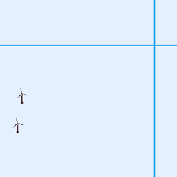
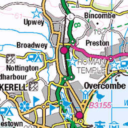
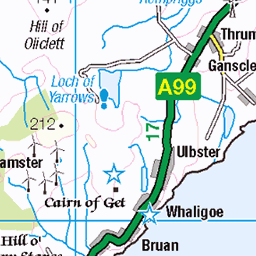
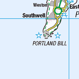
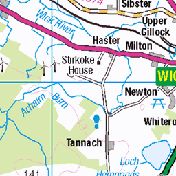
OS Map of White Howe (Bannisdale)

The Road From Kendal to Shap
It meets the M6 eventually.
15-Jan-24 • Paul Austin Murphy • flickr
53466207441

Sundown in the Lake District
Leaving it late again. View from the south-eastern hills.
15-Jan-24 • Paul Austin Murphy • flickr
53467505708

The Far-Eastern Fells
Photo taken on the Bannisdale Horseshoe.
15-Jan-24 • Paul Austin Murphy • flickr
54291370713

Frosted Fells (Lake District)
View from the south-eastern hills.
15-Jan-24 • Paul Austin Murphy • flickr
53467491973


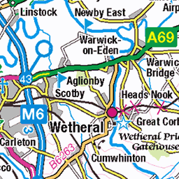
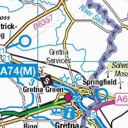
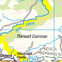
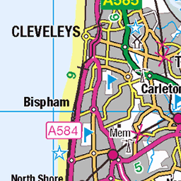
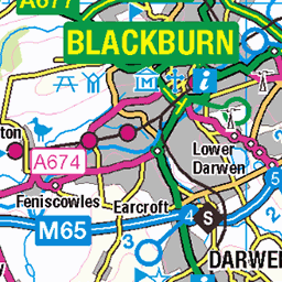
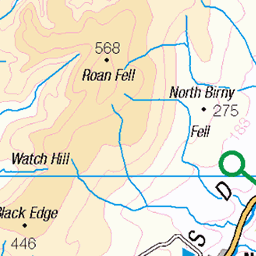
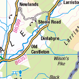
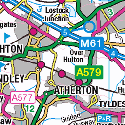
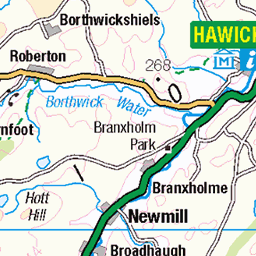
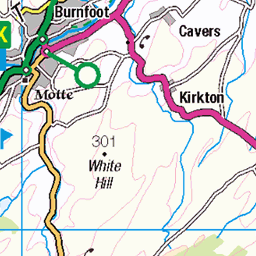
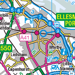
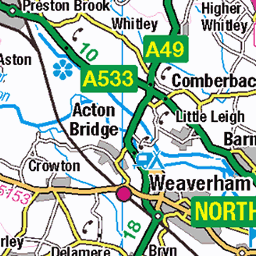
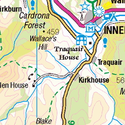
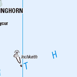
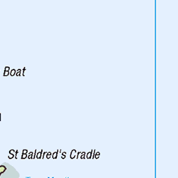
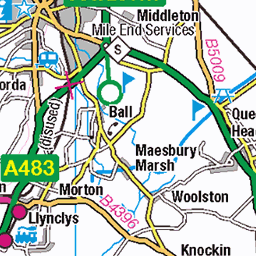
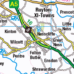
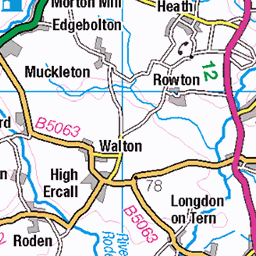
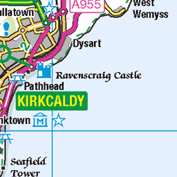
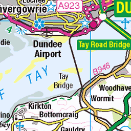
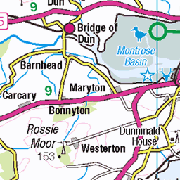
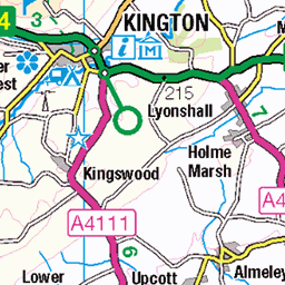
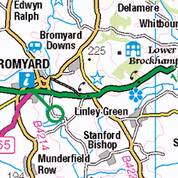
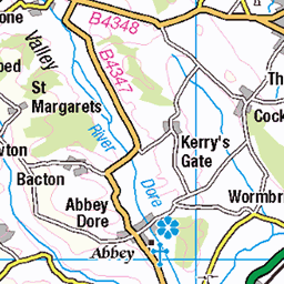
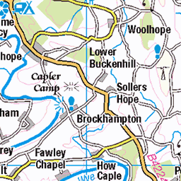
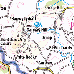
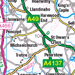
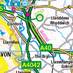
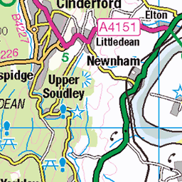
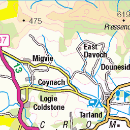
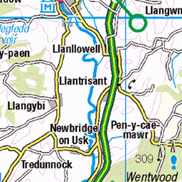
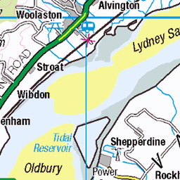
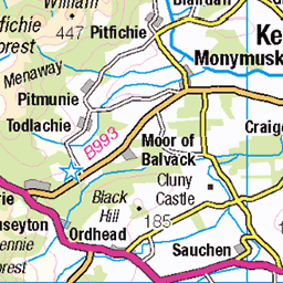
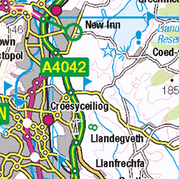
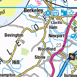
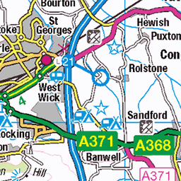
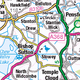
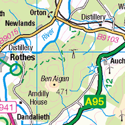
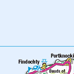
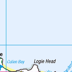
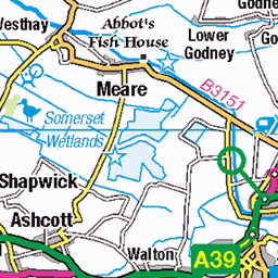
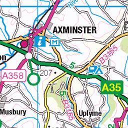
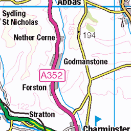
OS Map
This is OS mapping. In some areas, OpenStreetMap shows more footpaths
Spatial NI has online OSNI mapping. Click "Basemap Gallery" (4 squares icon at the top).
Now would be a good time for a cup of tea.


GPX Editor
Record map clicks
Reload map
Photos
Please tag your photos and upload them to the British and Irish Mountains group on Flickr
The other photos have been geo-tagged as on or around the summit. For less busy mountains, it can be a little hit and miss.
The Road From Kendal to Shap
It meets the M6 eventually.
15-Jan-24 • Paul Austin Murphy • flickr
53466207441
Sundown in the Lake District
Leaving it late again. View from the south-eastern hills.
15-Jan-24 • Paul Austin Murphy • flickr
53467505708
The Far-Eastern Fells
Photo taken on the Bannisdale Horseshoe.
15-Jan-24 • Paul Austin Murphy • flickr
54291370713
Frosted Fells (Lake District)
View from the south-eastern hills.
15-Jan-24 • Paul Austin Murphy • flickr
53467491973


Videos
None found
Notes
- Data: Database of British and Irish Hills v18.2
- Maps: We use OS mapping for England, Scotland, Wales, and the Isle of Man. Sadly, Channel Islands, Northern (OSNI) and Southern Ireland (OSI) mapping isn't available online, so we use Openstreetmap.