Hills of Britain and Ireland
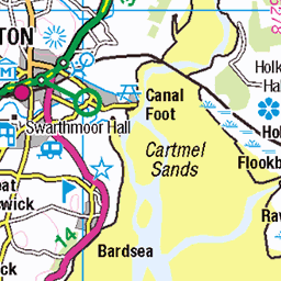
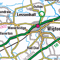
OS Map of Middle Dodd


The Top of Red Screes - Looking West
With the Irish Sea in the distance.
03-Jan-25 • Paul Austin Murphy • flickr
54254571674
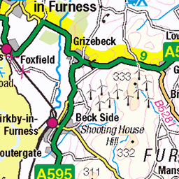
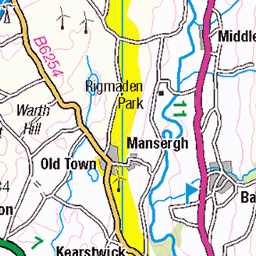
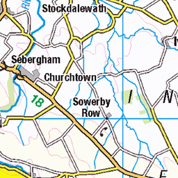
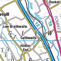
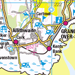
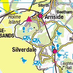
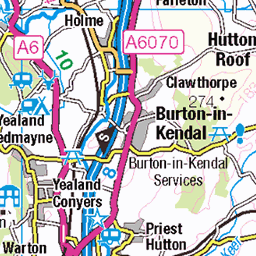
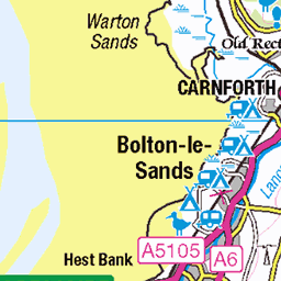
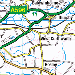
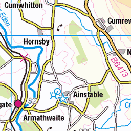
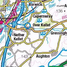
OS Map
This is OS mapping. In some areas, OpenStreetMap shows more footpaths
Spatial NI has online OSNI mapping. Click "Basemap Gallery" (4 squares icon at the top).
Now would be a good time for a cup of tea.


GPX Editor
Record map clicks
Reload map
Photos
Please tag your photos and upload them to the British and Irish Mountains group on Flickr
The other photos have been geo-tagged as on or around the summit. For less busy mountains, it can be a little hit and miss.
The Top of Red Screes - Looking West
With the Irish Sea in the distance.
03-Jan-25 • Paul Austin Murphy • flickr
54254571674


The Kentmere Horseshoe (Froswick)
With the edge of Red Screes in front. The Howgill Fells can be seen in the distance.
03-Jan-25 • Paul Austin Murphy • flickr
54261727193

Videos
This is a Lake District hike with a friend Christine starting from Cow Bridge car park near the village of Hartsop. The hike takes in ...
JD bags 4 today on the Red Screes Horseshoe - High Hartsop Dodd / Little Hart Crag / Red Screes / Middle Dodd Start/return ...
Weekend camp and a day out in the Eastern Fells. https://www.youtube.com/@TonysTrails?sub_confirmation=1 #lakedistrict ...
A walk over the two Wainwrights to the West of Kirkstone Pass, Red Screes and Middle Dodd. Not the best day for expansive ...
Notes
- Data: Database of British and Irish Hills v18.2
- Maps: We use OS mapping for England, Scotland, Wales, and the Isle of Man. Sadly, Channel Islands, Northern (OSNI) and Southern Ireland (OSI) mapping isn't available online, so we use Openstreetmap.