Hills of Britain and Ireland
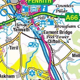
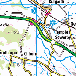
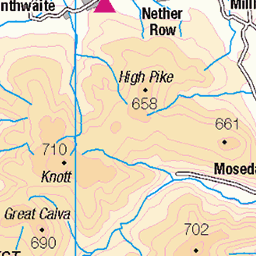
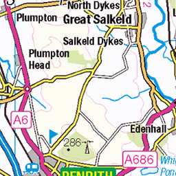
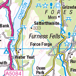
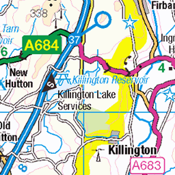
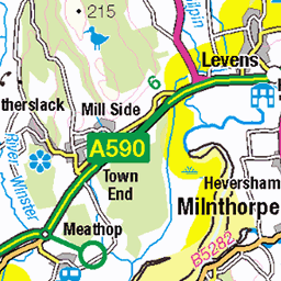
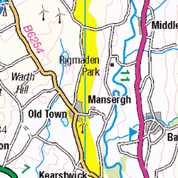
OS Map of Gray Crag

Gray Crag
As opposed to Grey Crag, which is just a bit further to the south-east. As seen from Hartsop Dodd. You might be able to make out a couple of fellwalkers on the top, to the upper left of the image.
27-Oct-24 • flindersan • flickr
gx9 cumbria snapseed 54111333888

Allegedly
Sorry for the terrible title for this shot of a rocky ledge on Threshthwaite Crag near Stony Cove Pike. That's Froswick and Ill Bell in the distance.
27-Oct-24 • flindersan • flickr
panasonicgx9 silkypixdeveloperstudiopro11forpanasonic 54147793421

A diversion off the Kentmere Round for a trip to Gray Crag
kentmerehorseshoe lakedistrictnationalpark kentmereround lakedistrictjuly2024day2 kentmere cumbria graycrag lakedistrictjuly2024 54040963970

A faint path to Gray Crag
kentmerehorseshoe lakedistrictnationalpark kentmereround lakedistrictjuly2024day2 kentmere cumbria graycrag lakedistrictjuly2024 54040843989

A cairn on Gray Crag
kentmerehorseshoe lakedistrictnationalpark kentmereround lakedistrictjuly2024day2 kentmere cairn cumbria graycrag lakedistrictjuly2024 54040768373

More of Lakeland seen from Gray Crag
kentmerehorseshoe lakedistrictnationalpark kentmereround lakedistrictjuly2024day2 kentmere cumbria graycrag lakedistrictjuly2024 54040963845
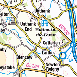
OS Map
This is OS mapping. In some areas, OpenStreetMap shows more footpaths
Spatial NI has online OSNI mapping. Click "Basemap Gallery" (4 squares icon at the top).
Now would be a good time for a cup of tea.


GPX Editor
Record map clicks
Reload map
Photos
Please tag your photos and upload them to the British and Irish Mountains group on Flickr
The other photos have been geo-tagged as on or around the summit. For less busy mountains, it can be a little hit and miss.
Gray Crag
As opposed to Grey Crag, which is just a bit further to the south-east. As seen from Hartsop Dodd. You might be able to make out a couple of fellwalkers on the top, to the upper left of the image.
27-Oct-24 • flindersan • flickr
gx9 cumbria snapseed 54111333888
Allegedly
Sorry for the terrible title for this shot of a rocky ledge on Threshthwaite Crag near Stony Cove Pike. That's Froswick and Ill Bell in the distance.
27-Oct-24 • flindersan • flickr
panasonicgx9 silkypixdeveloperstudiopro11forpanasonic 54147793421
A diversion off the Kentmere Round for a trip to Gray Crag
kentmerehorseshoe lakedistrictnationalpark kentmereround lakedistrictjuly2024day2 kentmere cumbria graycrag lakedistrictjuly2024 54040963970
A faint path to Gray Crag
kentmerehorseshoe lakedistrictnationalpark kentmereround lakedistrictjuly2024day2 kentmere cumbria graycrag lakedistrictjuly2024 54040843989
A cairn on Gray Crag
kentmerehorseshoe lakedistrictnationalpark kentmereround lakedistrictjuly2024day2 kentmere cairn cumbria graycrag lakedistrictjuly2024 54040768373
More of Lakeland seen from Gray Crag
kentmerehorseshoe lakedistrictnationalpark kentmereround lakedistrictjuly2024day2 kentmere cumbria graycrag lakedistrictjuly2024 54040963845

The summit of Gray Crag
The OS map shows two summits for Gray Crag - this one being 1m higher than the point most people think is the summit. As most people don't think this is the summit (despite it being so) there's no cairn or anything.
kentmerehorseshoe lakedistrictnationalpark kentmereround lakedistrictjuly2024day2 kentmere cumbria graycrag lakedistrictjuly2024 54040963840

The not actually the summit of Gray Crag
But there's a cairn. So it must be.
kentmerehorseshoe lakedistrictnationalpark kentmereround lakedistrictjuly2024day2 kentmere cairn cumbria graycrag lakedistrictjuly2024 54040843709

Froswick, Ill Belle and Yoke
Seen from High Street
kentmere lakewindermere yoke cumbria lakedistrictjuly2024day2 highstreet illbelle lakedistrictjuly2024 kentmereround kentmerehorseshoe lakedistrictnationalpark froswick 54154929612

Heading to Mardale Ill Belle
From High Street
kentmere cumbria lakedistrictjuly2024day2 highstreet lakedistrictjuly2024 kentmereround mardaleillbelle kentmerehorseshoe lakedistrictnationalpark 54156069708
Videos
This 6 mile route starts with a steep ascent practically straight from the car. Once on the tops there is little else to trouble you, apart ...
A walk up Gray Crag which was clear and Thornthwaite Crag, which wasn't from Hartsop.
A walk up Gray Crag which was clear and Thornthwaite Crag, which wasn't from Hartsop.
hikingadventures #fellwalking #lakedistrictnationalpark #wainwrights #hiking #hillwalking #lakedistrict #cumbria #graycrag.
A walk up Gray Crag which was clear and Thornthwaite Crag, which wasn't from Hartsop.
Notes
- Data: Database of British and Irish Hills v18.2
- Maps: We use OS mapping for England, Scotland, Wales, and the Isle of Man. Sadly, Channel Islands, Northern (OSNI) and Southern Ireland (OSI) mapping isn't available online, so we use Openstreetmap.