Hills of Britain and Ireland
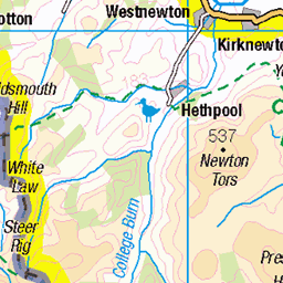
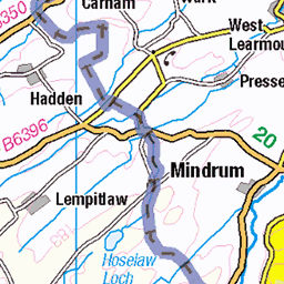
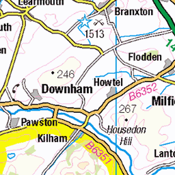
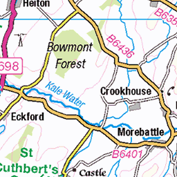
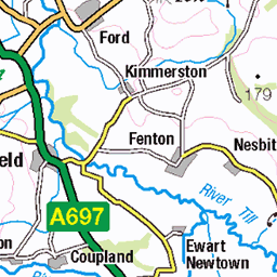
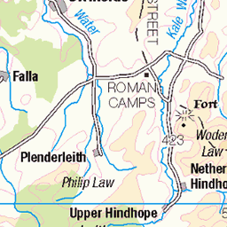
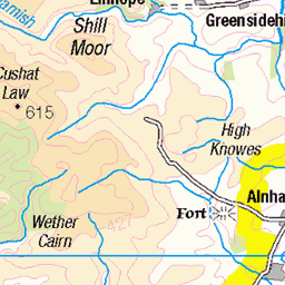
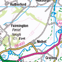
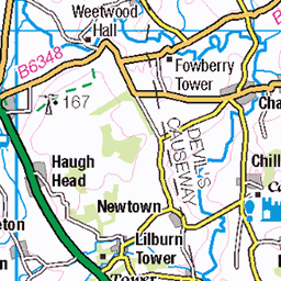
OS Map of The Schil
Height: 606m / 1987ft • Prominence: 136m / 446ft • Summit : small cairn on large outcrop • Trip reports (hill-bagging)


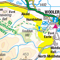
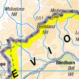
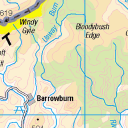
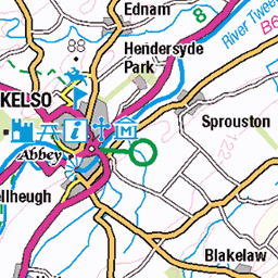
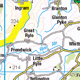
OS Map
This is OS mapping. In some areas, OpenStreetMap shows more footpaths
Spatial NI has online OSNI mapping. Click "Basemap Gallery" (4 squares icon at the top).
Now would be a good time for a cup of tea.
GPX Editor
Record map clicks
Reload map
Photos
Please tag your photos and upload them to the British and Irish Mountains group on Flickr
The other photos have been geo-tagged as on or around the summit. For less busy mountains, it can be a little hit and miss.


2312 The Schil
03-Sep-14 • Dugswell2 • flickr
theschil p134 tump donalddewey dewey simm hump 34196567396
Videos
northumberland #alpkit #wildcamping #wildcampinguk #djiminise #nature #hiking.
Created with the #GoPro App on my iPhone.
Parked at Hethpool and hiked along the College Valley. A slog up to The Schil, where we enjoyed our first ever wild camp with ...
If there's anything to learn from this video it is how the weather can change between the valley floor and the fells....... and that my ...
Notes
- Data: Database of British and Irish Hills v18.2
- Maps: We use OS mapping for England, Scotland, Wales, and the Isle of Man. Sadly, Channel Islands, Northern (OSNI) and Southern Ireland (OSI) mapping isn't available online, so we use Openstreetmap.