Hills of Britain and Ireland
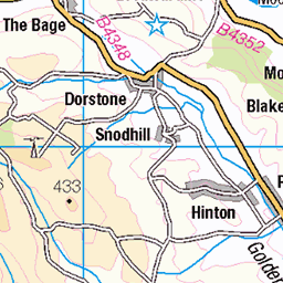
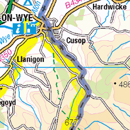
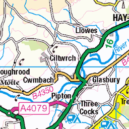
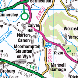
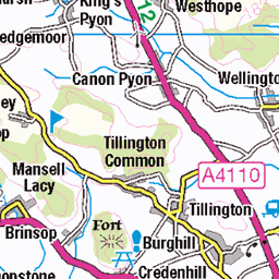
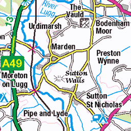
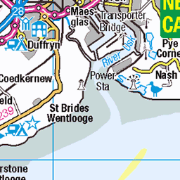
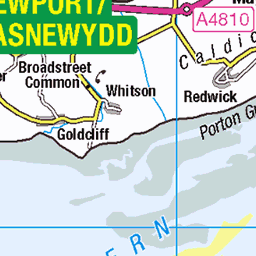
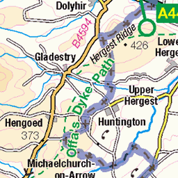
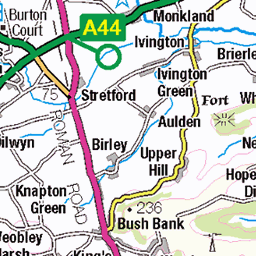
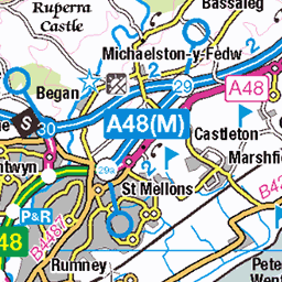
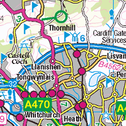
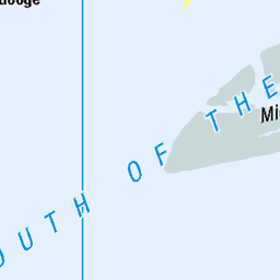
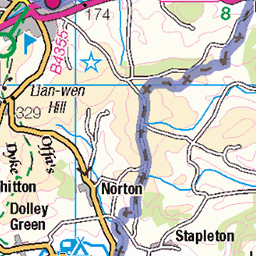
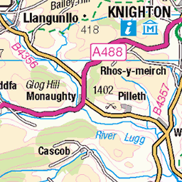
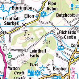
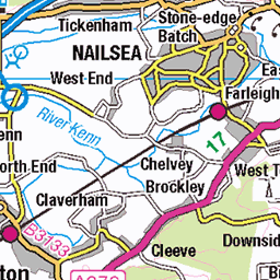
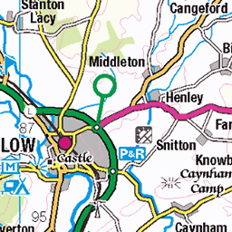
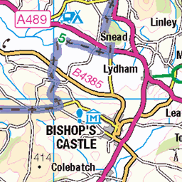
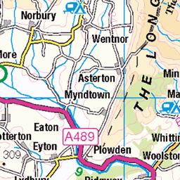
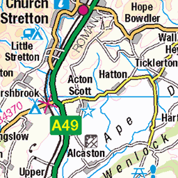
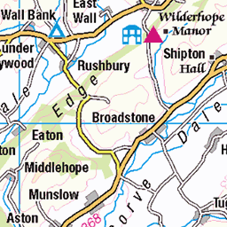
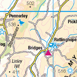
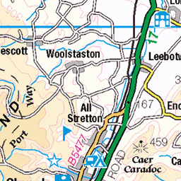
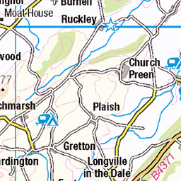
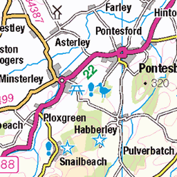
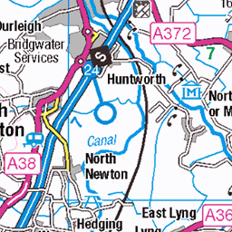
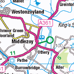
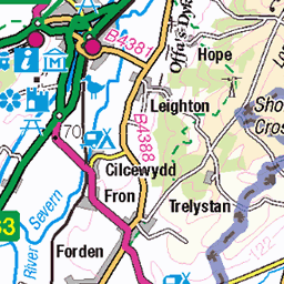
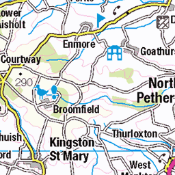
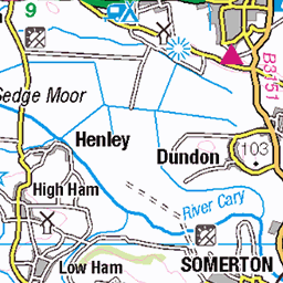
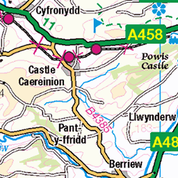
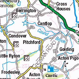
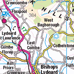
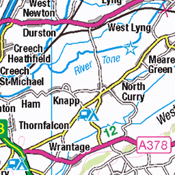
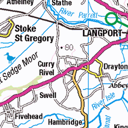
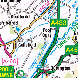
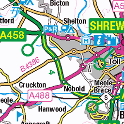
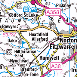
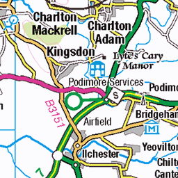
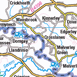
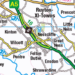
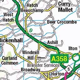
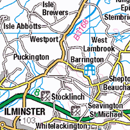
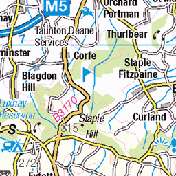
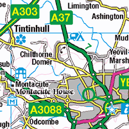
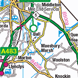
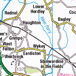
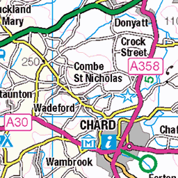
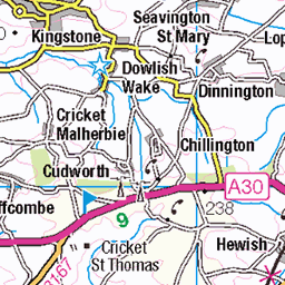
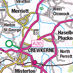
OS Map of Ysgyryd Fawr
Height: 486m / 1595ft • Prominence: 343m / 1125ft • Summit : rock 3m E of trig point • Trip reports (hill-bagging)

rocks on the ridge
29-Mar-25 • slabrador • flickr
abergavenny wales unitedkingdom theskirrid skirrid hill hilltop ridge sky bannaubrycheiniog breconbeacons skirridfawr 54419879768


Looking back to the clouds.
The cloud inversion covered the woodland below the hill.
26-Oct-24 • m.c.g.owen • flickr
skirrid fawr wales mist cloud autumn october 26th 2024 hillwalking footpath view 54104712716

20241026_111834
Sugar Loaf beyond the mist.
26-Oct-24 • m.c.g.owen • flickr
sugar loaf skirrid fawr wales mist cloud autumn october 26th 2024 hillwalking footpath view 54105322655
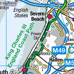
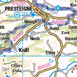
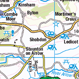
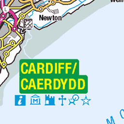
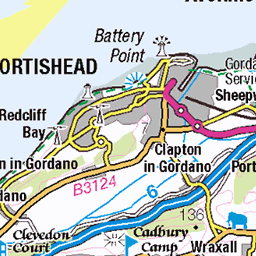
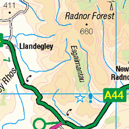
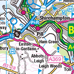
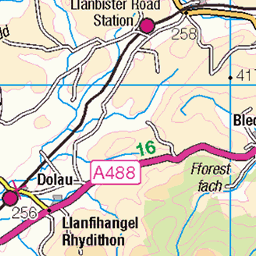
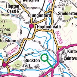
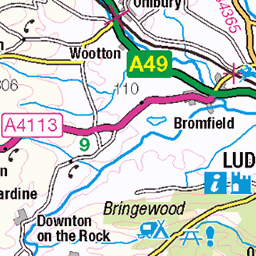
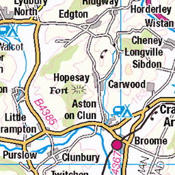
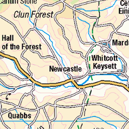
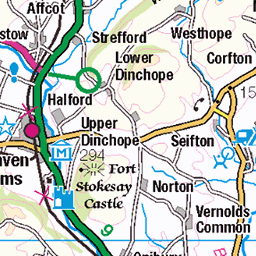
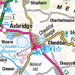
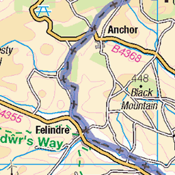
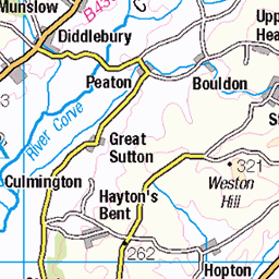
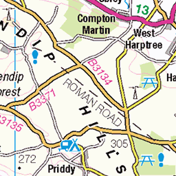
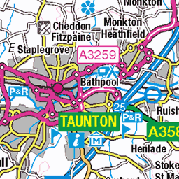
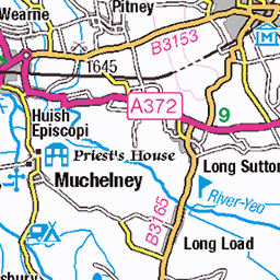
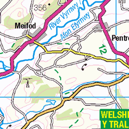
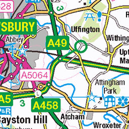
OS Map
This is OS mapping. In some areas, OpenStreetMap shows more footpaths
Spatial NI has online OSNI mapping. Click "Basemap Gallery" (4 squares icon at the top).
Now would be a good time for a cup of tea.


GPX Editor
Record map clicks
Reload map
Photos
Please tag your photos and upload them to the British and Irish Mountains group on Flickr
The other photos have been geo-tagged as on or around the summit. For less busy mountains, it can be a little hit and miss.
rocks on the ridge
29-Mar-25 • slabrador • flickr
abergavenny wales unitedkingdom theskirrid skirrid hill hilltop ridge sky bannaubrycheiniog breconbeacons skirridfawr 54419879768
Looking back to the clouds.
The cloud inversion covered the woodland below the hill.
26-Oct-24 • m.c.g.owen • flickr
skirrid fawr wales mist cloud autumn october 26th 2024 hillwalking footpath view 54104712716
20241026_111834
Sugar Loaf beyond the mist.
26-Oct-24 • m.c.g.owen • flickr
sugar loaf skirrid fawr wales mist cloud autumn october 26th 2024 hillwalking footpath view 54105322655

Little Skirrid in the clouds
26-Oct-24 • m.c.g.owen • flickr
little skirrid fawr wales mist cloud autumn october 26th 2024 hillwalking footpath view 54105461890

Looking down from the summit
View from the summit of Skirrid Fawr of the ridge, Abergavenny is lost in the cloud bank.
26-Oct-24 • m.c.g.owen • flickr
54105005476


Videos
A recent walk on the eastern fringe of the Black Mountains in South Wales. I'd never been up 'The Skirrid' and, as a National Trust ...
Eastern Brecon Beacons walk up the hills of the Arwallt and Skirrid, from Llanvihangel Crucorney.
15th September 2022. The Skirrid is a few miles from Abergavenny on the eastern edge of The Black Mountains. This walk starts ...
Ysgyryd Fawr | The Skirrid is a fantastic 486m hill near Abergavenny in South Wales. Only a short - but fairly steep - walk it offers ...
This would be classed as a Quality Mountain Day (QMD). I rode the Mean Machine 19miles to get into Abergavenny to the ...
Notes
- Data: Database of British and Irish Hills v18.2
- Maps: We use OS mapping for England, Scotland, Wales, and the Isle of Man. Sadly, Channel Islands, Northern (OSNI) and Southern Ireland (OSI) mapping isn't available online, so we use Openstreetmap.