Hills of Britain and Ireland
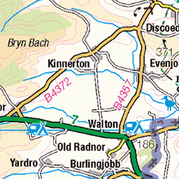
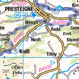
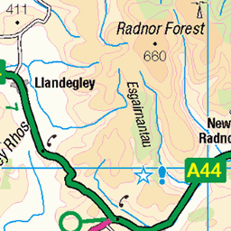
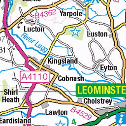
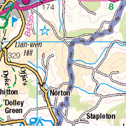
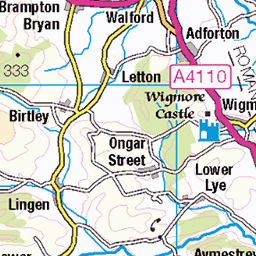
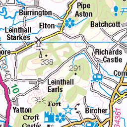
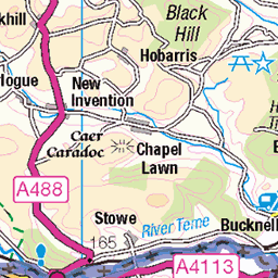
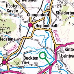
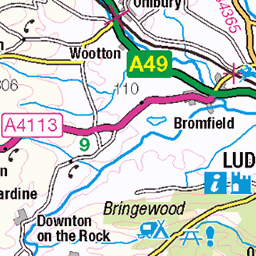
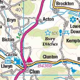
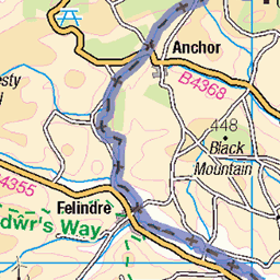
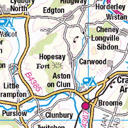
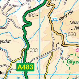
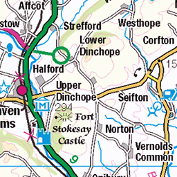
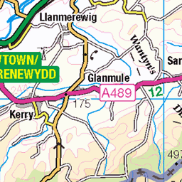
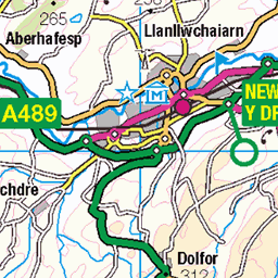
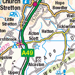
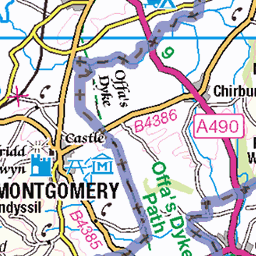
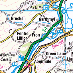
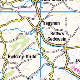
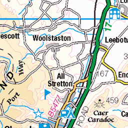
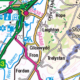
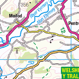
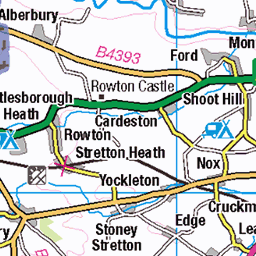
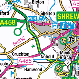
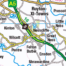
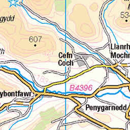
OS Map of Sugar Loaf (Y Fal)
Height: 596m / 1955ft • Prominence: 411m / 1348ft • Summit : trig point • Trip reports (hill-bagging)


Welsh Mountain Pony on Sugar Loaf, Monmouthshire, 7 August 2024
07-Aug-24 • AndrewDixon2812 • flickr
welsh mountain pony horse moor moorland brecon beacons sugar loaf abergavenny monmouthshire wales penyfâl 53918941688
OS Map
This is OS mapping. In some areas, OpenStreetMap shows more footpaths
Spatial NI has online OSNI mapping. Click "Basemap Gallery" (4 squares icon at the top).
Now would be a good time for a cup of tea.


GPX Editor
Record map clicks
Reload map
Photos
Please tag your photos and upload them to the British and Irish Mountains group on Flickr
The other photos have been geo-tagged as on or around the summit. For less busy mountains, it can be a little hit and miss.
Welsh Mountain Pony on Sugar Loaf, Monmouthshire, 7 August 2024
07-Aug-24 • AndrewDixon2812 • flickr
welsh mountain pony horse moor moorland brecon beacons sugar loaf abergavenny monmouthshire wales penyfâl 53918941688

Skirrid Fawr from Sugar Loaf, Monmouthshire, 7 August 2024
07-Aug-24 • AndrewDixon2812 • flickr
abergavenny monmouthshire skirrid fawr ysgyryd sugar loaf penyfâl summit rock crag cliff 53919050819

Pen Cerrig-calch from Sugar Loaf, Monmouthshire, 7 August 2024
07-Aug-24 • AndrewDixon2812 • flickr
pen cerrigcalch sugar loaf abergavenny monmouthshire mountain rock cliff crag moorland brecon beacons wales penyfâl summit 53917812267

Purple Heather on the Slopes of Sugar Loaf, Abergavenny, Monmouthshire, 7 August 2024
07-Aug-24 • AndrewDixon2812 • flickr
skirrid fawr sugar loaf abergavenny yfenni monmouthshire wales heather mountain slope 53919056974

Sugar Loaf from the Path to St Mary's Vale, Abergavenny, Monmouthshire, 7 August 2024
07-Aug-24 • AndrewDixon2812 • flickr
sugar loaf mountain hill peak brecon beacons abergavenny stmarysvale moorland monmouthshire wales penyfâl 53918954028
Videos
Join us as we embark on an exhilarating winter adventure amidst the crisp January landscapes of Sugar Loaf Mountain in ...
Sugar Loaf mountain by drone (4K) Abergavenny in Monmouthshire, Wales Shot with the Mavic Pro 2 This is my first attempt at ...
Dominating the skyline with a dramatic backdrop over Abergavenny, Sugar Loaf Mountain in South Wales, is a real adventure ...
May 2023,
January 2024,
Notes
- Data: Database of British and Irish Hills v18.2
- Maps: We use OS mapping for England, Scotland, Wales, and the Isle of Man. Sadly, Channel Islands, Northern (OSNI) and Southern Ireland (OSI) mapping isn't available online, so we use Openstreetmap.