Hills of Britain and Ireland
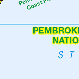
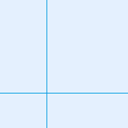
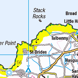
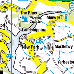
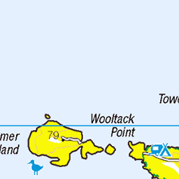
OS Map of Garn Fawr
Height: 213m / 699ft • Prominence: 142m / 466ft • Summit : rock 3m NW of trig point • Trip reports (hill-bagging)


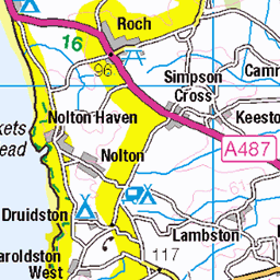
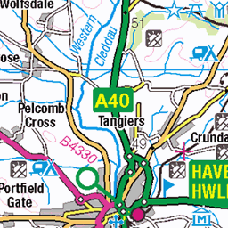
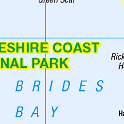
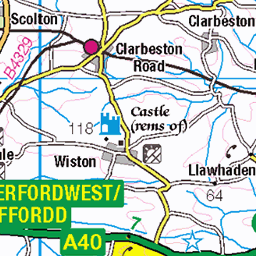
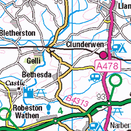
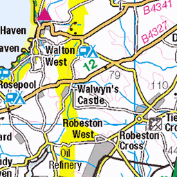
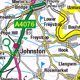
OS Map
This is OS mapping. In some areas, OpenStreetMap shows more footpaths
Spatial NI has online OSNI mapping. Click "Basemap Gallery" (4 squares icon at the top).
Now would be a good time for a cup of tea.


GPX Editor
Record map clicks
Reload map
Photos
Please tag your photos and upload them to the British and Irish Mountains group on Flickr
The other photos have been geo-tagged as on or around the summit. For less busy mountains, it can be a little hit and miss.


Pretty in Pink!
Sun rising over Mid Wales from Garn Fawr in Pembrokeshire looking towards Aberystwyth
25-Jun-23 • Elliott Coleman Photography • flickr
llynpeninsula sunrise pink 52999458892


Videos
Garn Fawr, Pembrokeshire Coast NP, Pembrokeshire, U.K..
Feeling a bit happier after finding an amazing place to run around Garn Fawr in beautiful morning light !
Email: hello@hillfortcamping.co.uk Office: 01348891648 Mobile: 07723030513 Explore our Iron Age Hillfort... take in the ...
Uncut aerial footage of Strumble Head / Pen Caer peninsula, Strumble Head Lighthouse, Carreg Onnen Bay, Ynys Onnen, Carreg ...
Notes
- Data: Database of British and Irish Hills v18.2
- Maps: We use OS mapping for England, Scotland, Wales, and the Isle of Man. Sadly, Channel Islands, Northern (OSNI) and Southern Ireland (OSI) mapping isn't available online, so we use Openstreetmap.