Hills of Britain and Ireland
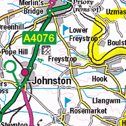
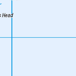
OS Map of Mynydd Carningli


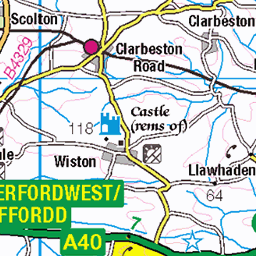
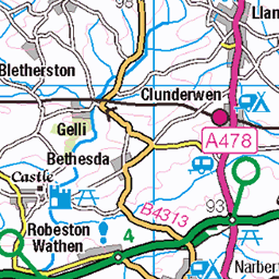
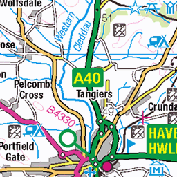
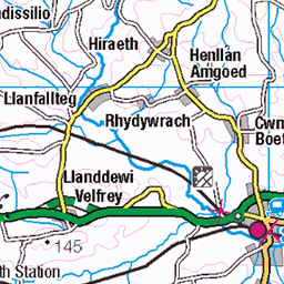
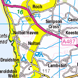
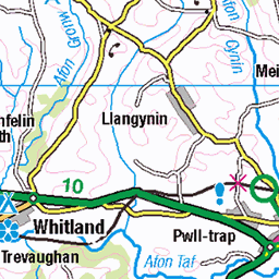
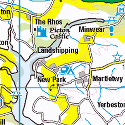
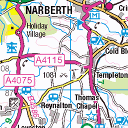
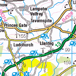
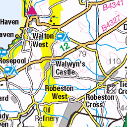
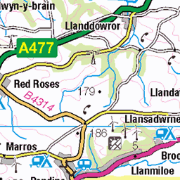
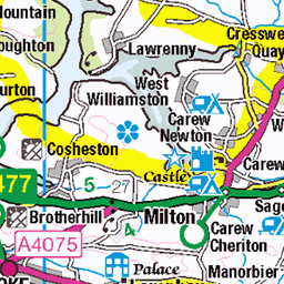
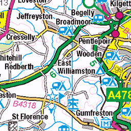
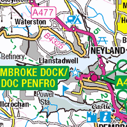
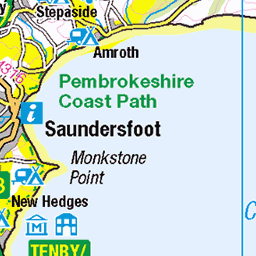
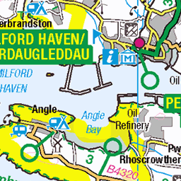
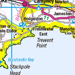
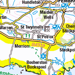
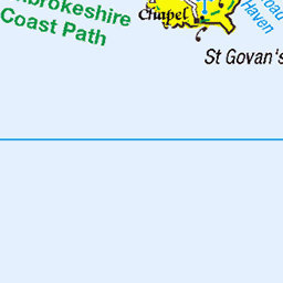
OS Map
This is OS mapping. In some areas, OpenStreetMap shows more footpaths
Spatial NI has online OSNI mapping. Click "Basemap Gallery" (4 squares icon at the top).
Now would be a good time for a cup of tea.


GPX Editor
Record map clicks
Reload map
Photos
Please tag your photos and upload them to the British and Irish Mountains group on Flickr
The other photos have been geo-tagged as on or around the summit. For less busy mountains, it can be a little hit and miss.


Videos
A gentle stroll from the picturesque norman village of Newport (Pembrokeshire) up to the summit of Mynydd Carningli which ...
Hey guys, it's Rozzer! Cally and I are back, and this time we decided to climb a #mountain ! Laugh as we take the most #extreme ...
We visit some of the historic sites near Newport, Pembrokeshire - Nevern, Pentre Ifan and the roundhouses of Castell Henllys ...
Another visit to North Pembrokeshire as we explore Newport and climb Carn Ingli, walk around St Dogmaels, and follow the ...
Notes
- Data: Database of British and Irish Hills v18.2
- Maps: We use OS mapping for England, Scotland, Wales, and the Isle of Man. Sadly, Channel Islands, Northern (OSNI) and Southern Ireland (OSI) mapping isn't available online, so we use Openstreetmap.