Hills of Britain and Ireland
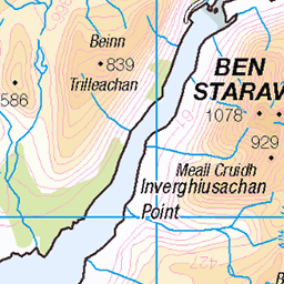
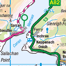
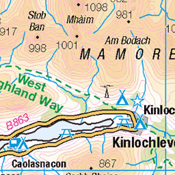
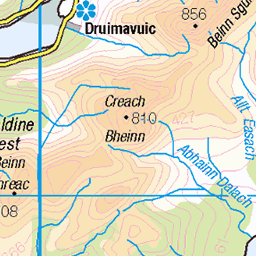
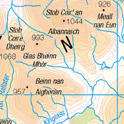
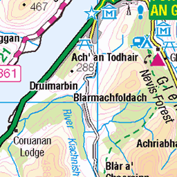
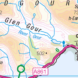
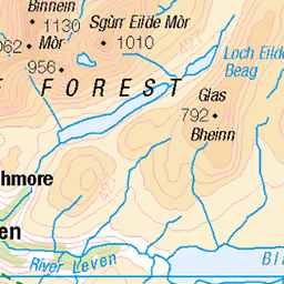
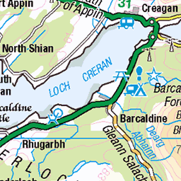
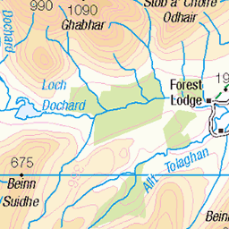
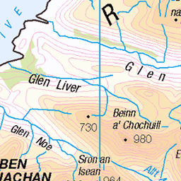
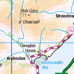
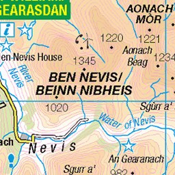
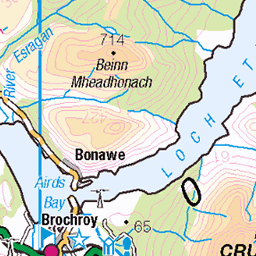
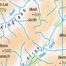
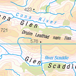
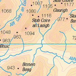
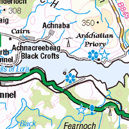
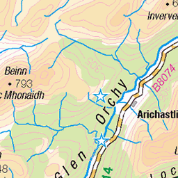
OS Map of Meall Lighiche

OS Map
This is OS mapping. In some areas, OpenStreetMap shows more footpaths
Spatial NI has online OSNI mapping. Click "Basemap Gallery" (4 squares icon at the top).
Now would be a good time for a cup of tea.

GPX Editor
Record map clicks
Reload map
Photos
Please tag your photos and upload them to the British and Irish Mountains group on Flickr
The other photos have been geo-tagged as on or around the summit. For less busy mountains, it can be a little hit and miss.
Videos
Panoramic shot from the top of Meall Lighiche.
A lesser visited part of Glencoe.
Buy my guidebooks here: Scottish Highlands - Hillwalking Guide https://trailblazer-guides.com/book/scottish-highlands-hillwalking ...
In todays video myself and Brian head off into the clag again to Hike another 2 munros in Glencoe, Creise and Meall a'Bhùiridh ...
Notes
- Data: Database of British and Irish Hills v18.2
- Maps: We use OS mapping for England, Scotland, Wales, and the Isle of Man. Sadly, Channel Islands, Northern (OSNI) and Southern Ireland (OSI) mapping isn't available online, so we use Openstreetmap.