Hills of Britain and Ireland
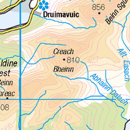
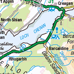
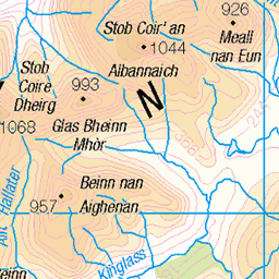
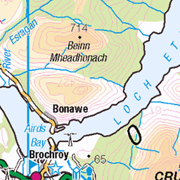
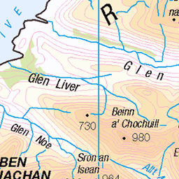
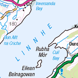
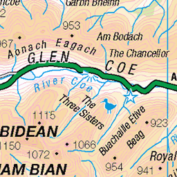
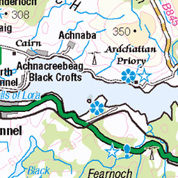
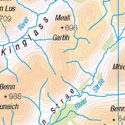
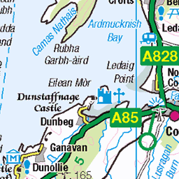
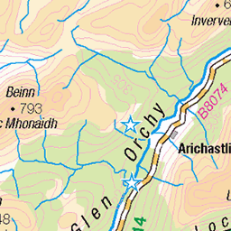
OS Map of Beinn Sgulaird North Top


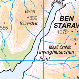
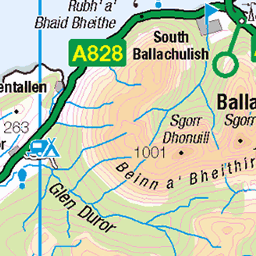
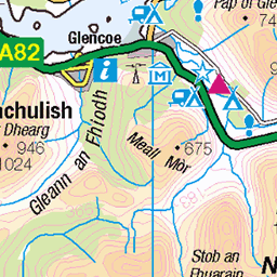
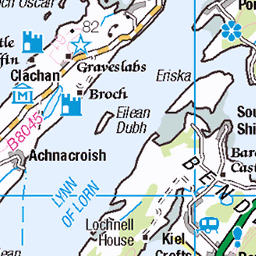
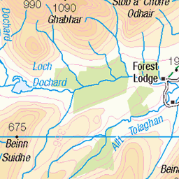
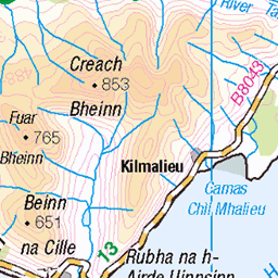
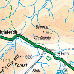
OS Map
This is OS mapping. In some areas, OpenStreetMap shows more footpaths
Spatial NI has online OSNI mapping. Click "Basemap Gallery" (4 squares icon at the top).
Now would be a good time for a cup of tea.
GPX Editor
Record map clicks
Reload map
Photos
Please tag your photos and upload them to the British and Irish Mountains group on Flickr
The other photos have been geo-tagged as on or around the summit. For less busy mountains, it can be a little hit and miss.


Videos
A well kept secret this munro on the west coast of Scotland. Unassuming but full of character. I hiked alone to the summit with the ...
Here is some footage from a 3 day trip to the West of Scotland. Oban was our base as we spent our days exploring different areas.
Music: Hermanos Gutiérrez - Cerca De Ti These shots were from earlier in the summer, where we spent a couple of days in ...
Notes
- Data: Database of British and Irish Hills v18.2
- Maps: We use OS mapping for England, Scotland, Wales, and the Isle of Man. Sadly, Channel Islands, Northern (OSNI) and Southern Ireland (OSI) mapping isn't available online, so we use Openstreetmap.