Hills of Britain and Ireland
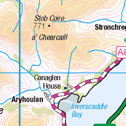
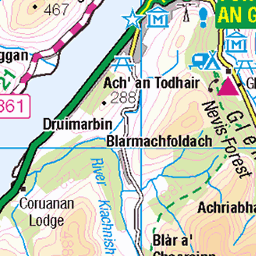
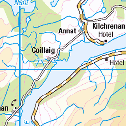
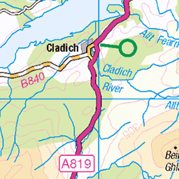
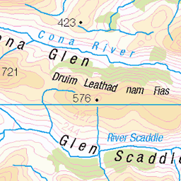
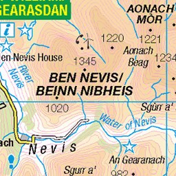
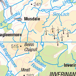
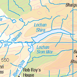
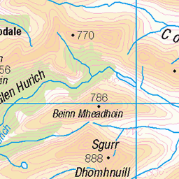
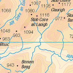
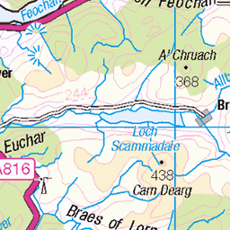
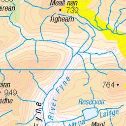
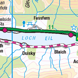
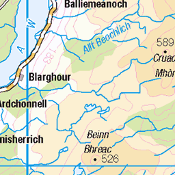
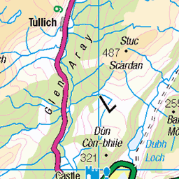
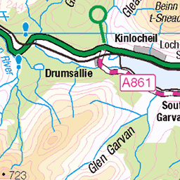
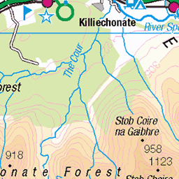
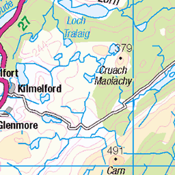
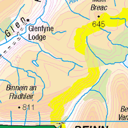
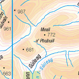
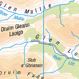
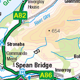
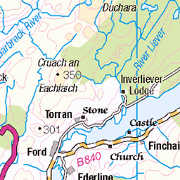
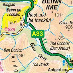
OS Map of Beinn Sgulaird
Height: 937m / 3074ft • Prominence: 662m / 2172ft • Summit : large cairn • Trip reports (hill-bagging)


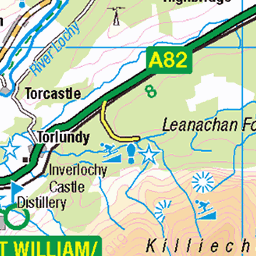
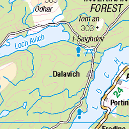
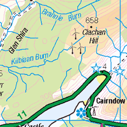
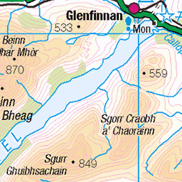
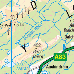
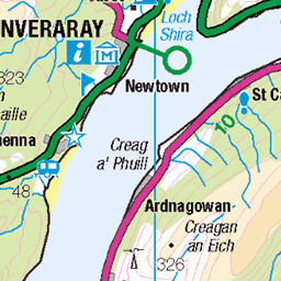
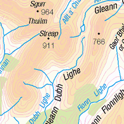
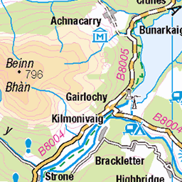
OS Map
This is OS mapping. In some areas, OpenStreetMap shows more footpaths
Spatial NI has online OSNI mapping. Click "Basemap Gallery" (4 squares icon at the top).
Now would be a good time for a cup of tea.

GPX Editor
Record map clicks
Reload map
Photos
Please tag your photos and upload them to the British and Irish Mountains group on Flickr
The other photos have been geo-tagged as on or around the summit. For less busy mountains, it can be a little hit and miss.


Videos
20th December 2021.
Video series about climbing the major mountains of the Scottish Highlands, England and Wales. Videó sorozat a Skót Felföld, ...
No.57, Beinn Sgulaird, Date walked: 06/07/2014, Time taken: 4.75 hours, 13 km/8.2 miles, Ascent: 1240m. Time for the hills again.
A well kept secret this munro on the west coast of Scotland. Unassuming but full of character. I hiked alone to the summit with the ...
What a glorious day at the top of Beinn Sgulaird.
Notes
- Data: Database of British and Irish Hills v18.2
- Maps: We use OS mapping for England, Scotland, Wales, and the Isle of Man. Sadly, Channel Islands, Northern (OSNI) and Southern Ireland (OSI) mapping isn't available online, so we use Openstreetmap.