Hills of Britain and Ireland
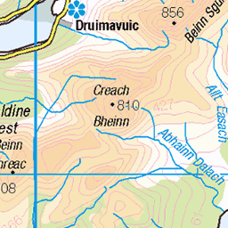
OS Map of Sgorr Bhan

On the east ridge of Sgorr Bhan (Photo: Edita Horrell)
Ben a' Bheithir
27-Dec-24 • markhorrell • flickr
britain scotland hillwalking glencoe 54239243272

Approaching clouds on the east ridge of Sgorr Bhan
Bheinn a' Bheithir
27-Dec-24 • markhorrell • flickr
hillwalking scotland britain glen coe 54238393688

Reaching the first scramble on Schoolhouse Ridge
Bheinn a' Bheithir
27-Dec-24 • markhorrell • flickr
hillwalking scotland britain glen coe 54237255302

Approaching the foot of Schoolhouse Ridge (Photo: Edita Horrell)
Ben a' Bheithir
27-Dec-24 • markhorrell • flickr
britain scotland hillwalking glencoe 54240381738

Edita at the bottom of Schoolhouse Ridge
Bheinn a' Bheithir
27-Dec-24 • markhorrell • flickr
hillwalking scotland britain glen coe 54238151801

Edita scrambling on Schoolhouse Ridge
Bheinn a' Bheithir
27-Dec-24 • markhorrell • flickr
hillwalking scotland britain glen coe 54238151746
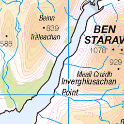
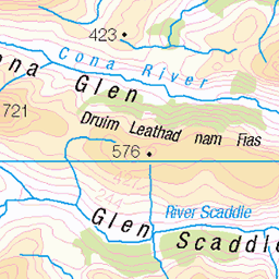
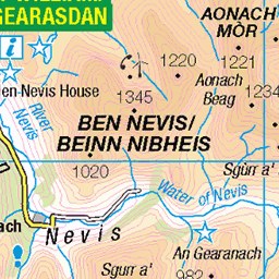
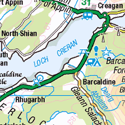
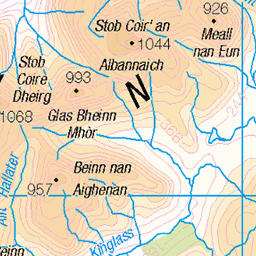
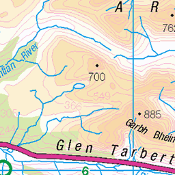
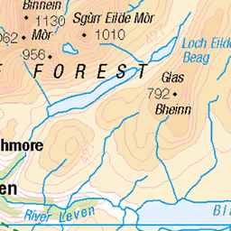
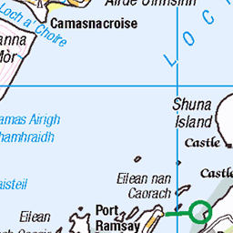
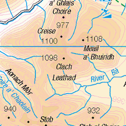
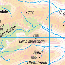
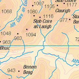
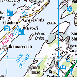
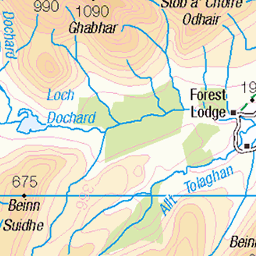
OS Map
This is OS mapping. In some areas, OpenStreetMap shows more footpaths
Spatial NI has online OSNI mapping. Click "Basemap Gallery" (4 squares icon at the top).
Now would be a good time for a cup of tea.
GPX Editor
Record map clicks
Reload map
Photos
Please tag your photos and upload them to the British and Irish Mountains group on Flickr
The other photos have been geo-tagged as on or around the summit. For less busy mountains, it can be a little hit and miss.
On the east ridge of Sgorr Bhan (Photo: Edita Horrell)
Ben a' Bheithir
27-Dec-24 • markhorrell • flickr
britain scotland hillwalking glencoe 54239243272
Approaching clouds on the east ridge of Sgorr Bhan
Bheinn a' Bheithir
27-Dec-24 • markhorrell • flickr
hillwalking scotland britain glen coe 54238393688
Reaching the first scramble on Schoolhouse Ridge
Bheinn a' Bheithir
27-Dec-24 • markhorrell • flickr
hillwalking scotland britain glen coe 54237255302
Approaching the foot of Schoolhouse Ridge (Photo: Edita Horrell)
Ben a' Bheithir
27-Dec-24 • markhorrell • flickr
britain scotland hillwalking glencoe 54240381738
Edita at the bottom of Schoolhouse Ridge
Bheinn a' Bheithir
27-Dec-24 • markhorrell • flickr
hillwalking scotland britain glen coe 54238151801
Edita scrambling on Schoolhouse Ridge
Bheinn a' Bheithir
27-Dec-24 • markhorrell • flickr
hillwalking scotland britain glen coe 54238151746

Hands down on Schoolhouse Ridge (Photo: Edita Horrell)
Ben a' Bheithir
27-Dec-24 • markhorrell • flickr
britain scotland hillwalking glencoe 54240381733

On the summit ridge of Sgorr Dhearg
Bheinn a' Bheithir
27-Dec-24 • markhorrell • flickr
hillwalking scotland britain glen coe 54238393593

Edita celebrates atop Sgorr Dhearg
Ben a' Bheithir
27-Dec-24 • markhorrell • flickr
britain scotland hillwalking glencoe 54240381683

Selfie atop Sgorr Dhearg
Ben a' Bheithir
27-Dec-24 • markhorrell • flickr
britain scotland hillwalking glencoe 54240557255
Videos
Join us as we climb the School House ridge at Ballachulish in Glencoe. The climb up the main ridge was superb with some ...
It was a hot and sticky day and I was determined to take advantage of it!! I set off nice and early the two Munros of Bheinn ...
Sgòrr Dhearg 52 & Sgòrr Dhònuill 53, via Schoolhouse Ridge. 29/05/2014, 5.9 hours, 16 km/10 miles, ascent of 1326m ...
This group of hills is dramatically know as the Hill of the Thunderbolt. Its an amazing walk along long ridges and rocky tops to take ...
In this episode, I finally get across to Scotland and up to Glencoe, but the weather was horrific and we only managed one day in ...
Notes
- Data: Database of British and Irish Hills v18.2
- Maps: We use OS mapping for England, Scotland, Wales, and the Isle of Man. Sadly, Channel Islands, Northern (OSNI) and Southern Ireland (OSI) mapping isn't available online, so we use Openstreetmap.