Hills of Britain and Ireland
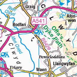
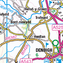
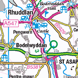
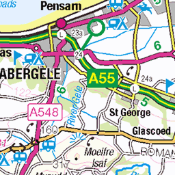
OS Map of Moel Famau
Height: 555m / 1821ft • Prominence: 282m / 925ft • Summit : ground by wall on N corner of tower • Trip reports (hill-bagging)


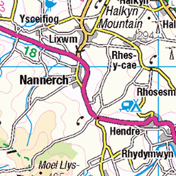
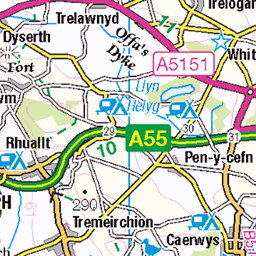
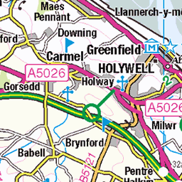
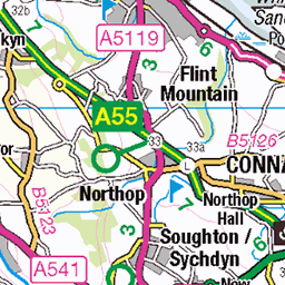
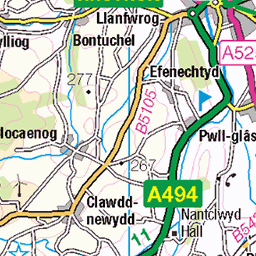
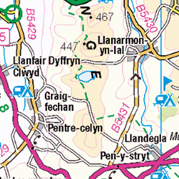
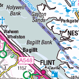
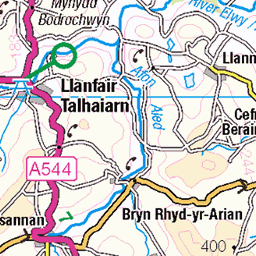
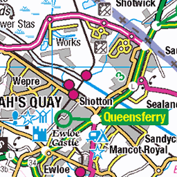
OS Map
This is OS mapping. In some areas, OpenStreetMap shows more footpaths
Spatial NI has online OSNI mapping. Click "Basemap Gallery" (4 squares icon at the top).
Now would be a good time for a cup of tea.


GPX Editor
Record map clicks
Reload map
Photos
Please tag your photos and upload them to the British and Irish Mountains group on Flickr
The other photos have been geo-tagged as on or around the summit. For less busy mountains, it can be a little hit and miss.


Videos
Taking Sam along with us on a 7 mile circular walk up Moel Famau. His first walk in the mountains ( I know Moel Famau is classed ...
Hey We were feeling grouchy and emotional so decided we needed some nature and a good old grounding walk. Moel Fammu ...
Walk up moel famau north Wales It's not quite a mountain #hike #walking #ramble #charity #walk #mountain ...
The base of a tower erected to commerce the silver Jubilee of King George III. The obelisk inspired suddenly collapsed due to the ...
A little walk to the top of Moel Famau which is a mountain near to Mold, North Wales. Very foggy day but was a nice fresh morning ...
Notes
- Data: Database of British and Irish Hills v18.2
- Maps: We use OS mapping for England, Scotland, Wales, and the Isle of Man. Sadly, Channel Islands, Northern (OSNI) and Southern Ireland (OSI) mapping isn't available online, so we use Openstreetmap.