Hills of Britain and Ireland
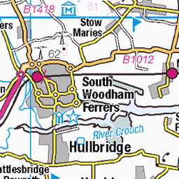
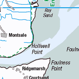
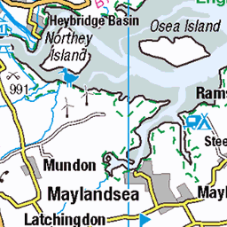
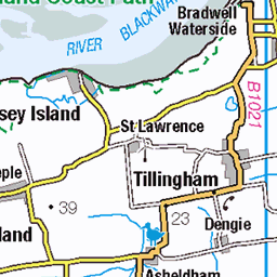
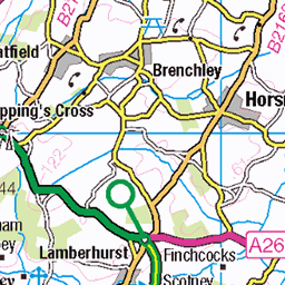
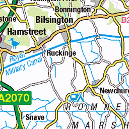
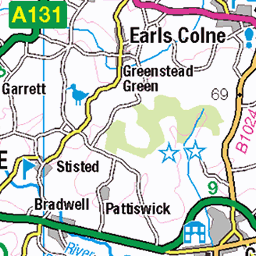
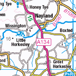
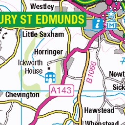
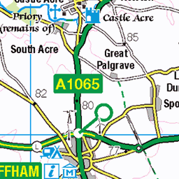
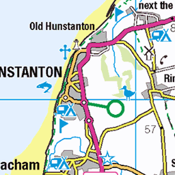
OS Map of Burntwick Island

Isle of Grain Container Terminal
rochester england unitedkingdom 53759258392


DSC_7738
06-Aug-17 • Thomas Cogley • flickr
old chimney ruin bw black white mono river medway thomas cogley thomascogley 36242571742

DSC_7746
06-Aug-17 • Thomas Cogley • flickr
old chimney ruin river medway thomas cogley thomascogley 36242573382

DSC_7750
06-Aug-17 • Thomas Cogley • flickr
sailing boat yacht loading crane container port river medway thomas cogley thomascogley 35575431714

DSC_7751
06-Aug-17 • Thomas Cogley • flickr
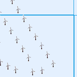
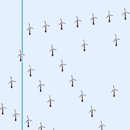
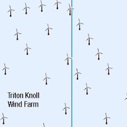
sailing boat yacht wind turbine river medway thomas cogley thomascogley 35575432464
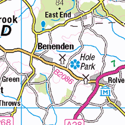
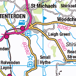
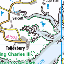
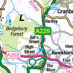
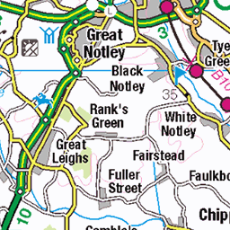
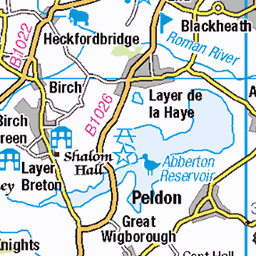
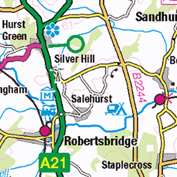
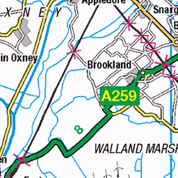
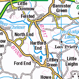
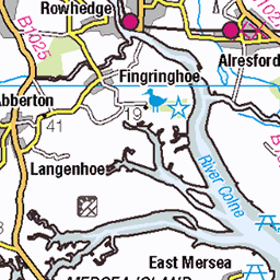
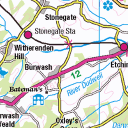
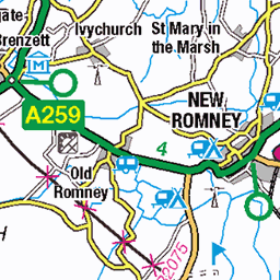
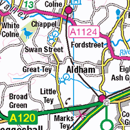
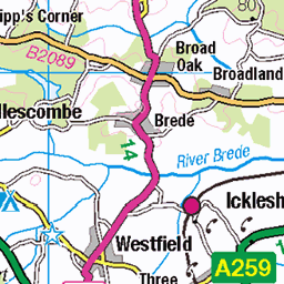
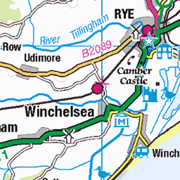
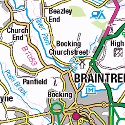
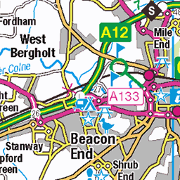
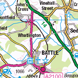
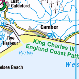
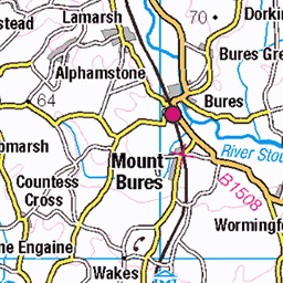
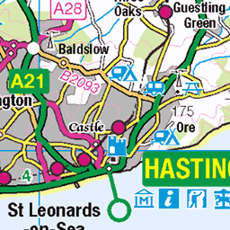
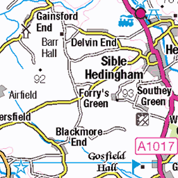
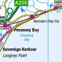
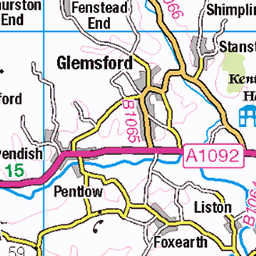
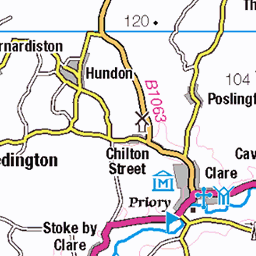
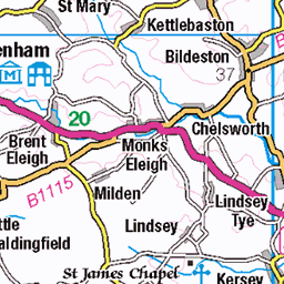
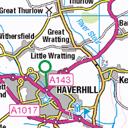
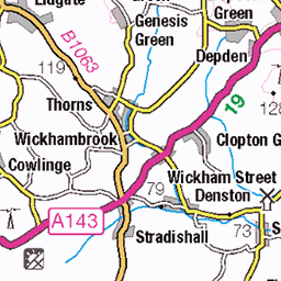
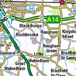
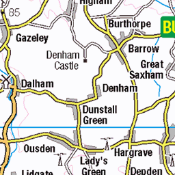
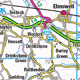
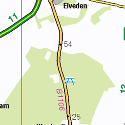
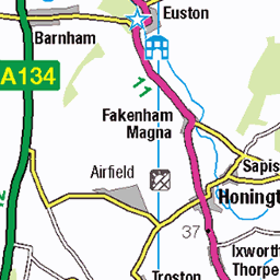
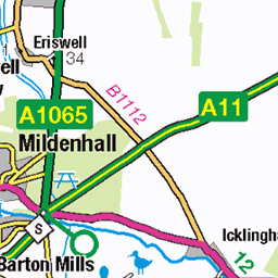
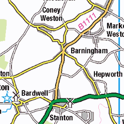
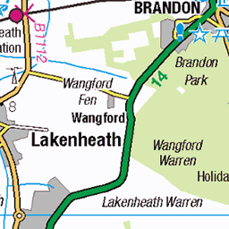
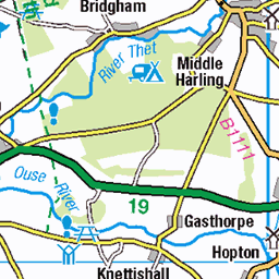
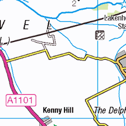
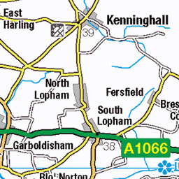
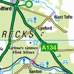
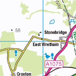
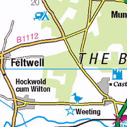
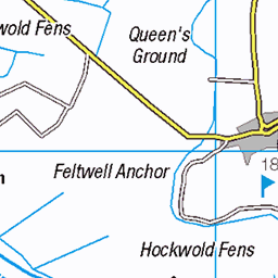
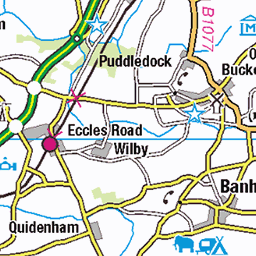
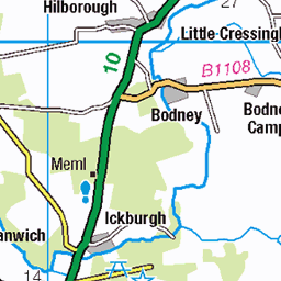
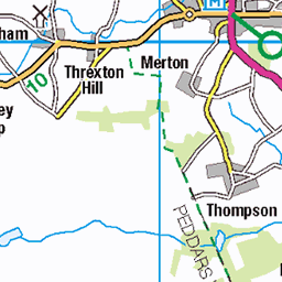
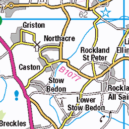
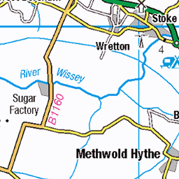
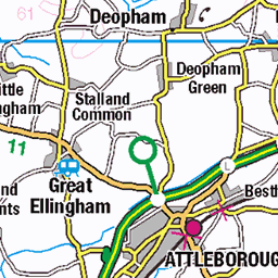
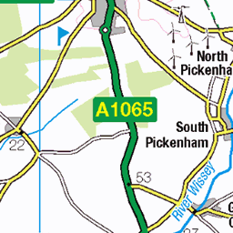
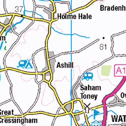
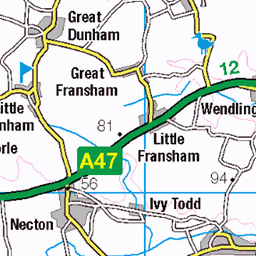
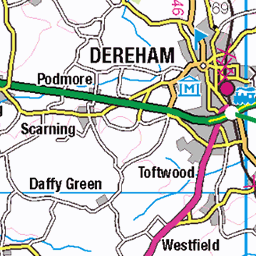
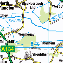
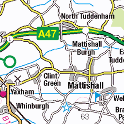
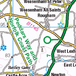
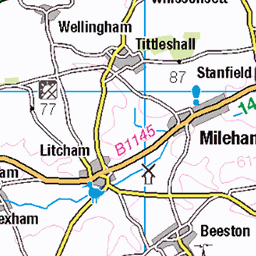
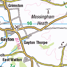
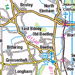
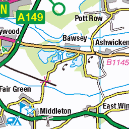
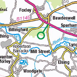
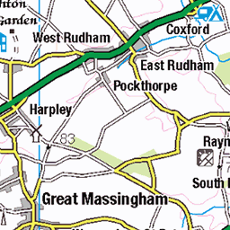
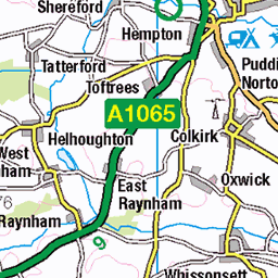
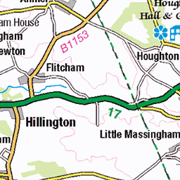
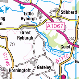
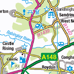
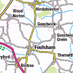
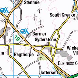
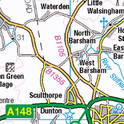
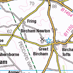
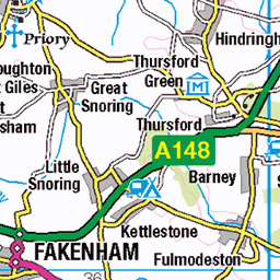
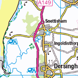
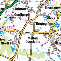
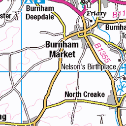
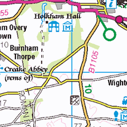
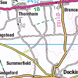
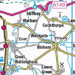
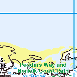
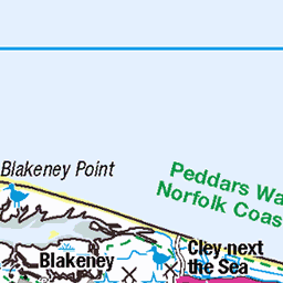
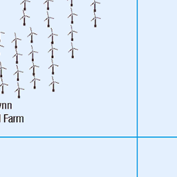
OS Map
This is OS mapping. In some areas, OpenStreetMap shows more footpaths
Spatial NI has online OSNI mapping. Click "Basemap Gallery" (4 squares icon at the top).
Now would be a good time for a cup of tea.


GPX Editor
Record map clicks
Reload map
Photos
Please tag your photos and upload them to the British and Irish Mountains group on Flickr
The other photos have been geo-tagged as on or around the summit. For less busy mountains, it can be a little hit and miss.
Isle of Grain Container Terminal
rochester england unitedkingdom 53759258392
DSC_7738
06-Aug-17 • Thomas Cogley • flickr
old chimney ruin bw black white mono river medway thomas cogley thomascogley 36242571742
DSC_7746
06-Aug-17 • Thomas Cogley • flickr
old chimney ruin river medway thomas cogley thomascogley 36242573382
DSC_7750
06-Aug-17 • Thomas Cogley • flickr
sailing boat yacht loading crane container port river medway thomas cogley thomascogley 35575431714
DSC_7751
06-Aug-17 • Thomas Cogley • flickr
sailing boat yacht wind turbine river medway thomas cogley thomascogley 35575432464

DSC_7753
06-Aug-17 • Thomas Cogley • flickr
loading crane container port river medway thomas cogley thomascogley 35602847063

DSC_7754
06-Aug-17 • Thomas Cogley • flickr
loading crane container port river medway thomas cogley thomascogley 35575434474

DSC_8072
06-Aug-17 • Thomas Cogley • flickr
kingsnorth chimney bw black white mono river medway thomas cogley thomascogley 35602909563

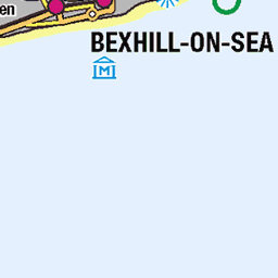
D12040. London Thamesport Cranes.
D12040. The dockside cranes at London Thamesport on the Isle of Grain in Kent. Seen across the water from the pier at Southend-on-Sea in Essex. Friday, 31st October, 2014. Copyright © Ron Fisher.
31-Oct-14 • Ron Fisher • flickr
cranes londonthamesport 29841762435
Videos
A flight with the DJI Mini 2 drone from our boat moored at Stangate Creek. Shot in 2k 60 fps with a Freewell ND8PL filter fitted and ...
On this adventure i visit Burntwick Island, Darnet Fort, the WWI U-boat wrecks, Bee Ness jetty, and Yantlet beach.
A short day out for us to a local English Heritage site, Upnor Castle. This clip starts with a look down the quaint high street that ...
Wanted to share, some footage I shot a few months ago in August 21 on a visit to Kent. Would like to go back to see more of its ...
please like, share, comments and subscribe to my channel. Esehi Hunted and mystery videos Dekha ne ke liye mere channel ko ...
Notes
- Data: Database of British and Irish Hills v18.2
- Maps: We use OS mapping for England, Scotland, Wales, and the Isle of Man. Sadly, Channel Islands, Northern (OSNI) and Southern Ireland (OSI) mapping isn't available online, so we use Openstreetmap.