Hills of Britain and Ireland
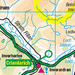
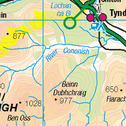
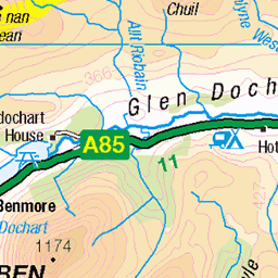
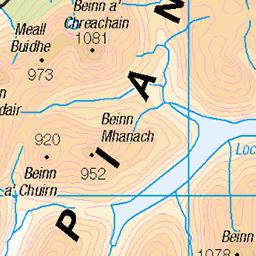
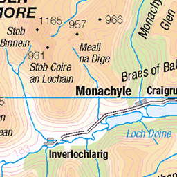
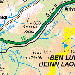
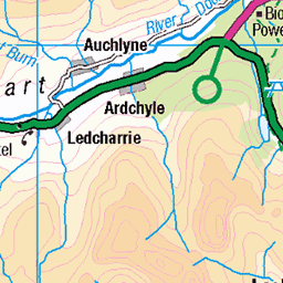
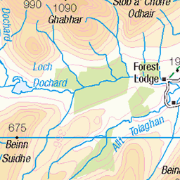
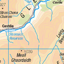
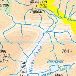
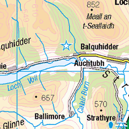
OS Map of Cam Chreag South Top
Height: 878m / 2881ft • Prominence: 20m / 66ft • Summit : vegetated rock • Trip reports (hill-bagging)


River Lochay? from Ben Challum
12-Jul-19 • troutcolor • flickr
benchallum hillwalk munro walk 48266012576


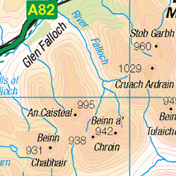
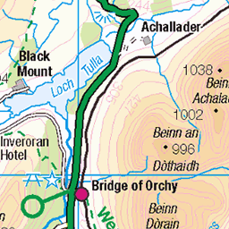
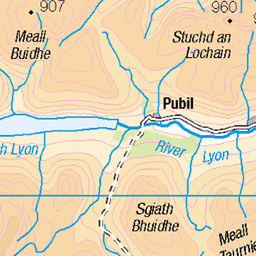
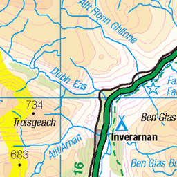
OS Map
This is OS mapping. In some areas, OpenStreetMap shows more footpaths
Spatial NI has online OSNI mapping. Click "Basemap Gallery" (4 squares icon at the top).
Now would be a good time for a cup of tea.
GPX Editor
Record map clicks
Reload map
Photos
Please tag your photos and upload them to the British and Irish Mountains group on Flickr
The other photos have been geo-tagged as on or around the summit. For less busy mountains, it can be a little hit and miss.
River Lochay? from Ben Challum
12-Jul-19 • troutcolor • flickr
benchallum hillwalk munro walk 48266012576


Videos
None found
Notes
- Data: Database of British and Irish Hills v18.2
- Maps: We use OS mapping for England, Scotland, Wales, and the Isle of Man. Sadly, Channel Islands, Northern (OSNI) and Southern Ireland (OSI) mapping isn't available online, so we use Openstreetmap.