Hills of Britain and Ireland
OS Map of North Barrule
Height: 565m / 1854ft • Prominence: 143m / 469ft • Summit : rock 3m WSW of trig point • Trip reports (hill-bagging)


North Barrule, short summit video
Ian having fun - and avoiding pushing Caesar off! Ken already sat down for lunch :-)
07-Jul-24 • Jackie & Dennis • flickr
isleofman caesar 53941547341

Chris and Ken already on North Barrule Ridge
No guesses as to who was at the rear!
07-Jul-24 • Jackie & Dennis • flickr
isleofman 53940313914

Looking down on Ramsay
One of my favourite Isle of Man views.
07-Jul-24 • Jackie & Dennis • flickr
isleofman 53939075372

Summit 22 - North Barrule
Ian and Caesar on trig pillar. www.hill-bagging.co.uk/mountaindetails.php?qu=S&rf=1946" rel="noreferrer nofollow www.hill-bagging.co.uk/mountaindetails.php?qu=S&rf=1946
07-Jul-24 • Jackie & Dennis • flickr
isleofman caesar 53942002210

North Barrule Ridge - Chris and Ken
A lovely walk back along the ridge.
07-Jul-24 • Jackie & Dennis • flickr
isleofman 53941786401
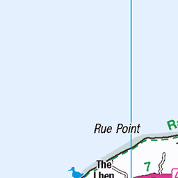
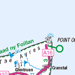
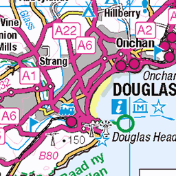
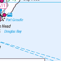
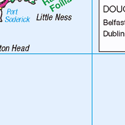
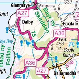
OS Map
This is OS mapping. In some areas, OpenStreetMap shows more footpaths
Spatial NI has online OSNI mapping. Click "Basemap Gallery" (4 squares icon at the top).
Now would be a good time for a cup of tea.


GPX Editor
Record map clicks
Reload map
Photos
Please tag your photos and upload them to the British and Irish Mountains group on Flickr
The other photos have been geo-tagged as on or around the summit. For less busy mountains, it can be a little hit and miss.
North Barrule, short summit video
Ian having fun - and avoiding pushing Caesar off! Ken already sat down for lunch :-)
07-Jul-24 • Jackie & Dennis • flickr
isleofman caesar 53941547341
Chris and Ken already on North Barrule Ridge
No guesses as to who was at the rear!
07-Jul-24 • Jackie & Dennis • flickr
isleofman 53940313914
Looking down on Ramsay
One of my favourite Isle of Man views.
07-Jul-24 • Jackie & Dennis • flickr
isleofman 53939075372
Summit 22 - North Barrule
Ian and Caesar on trig pillar. www.hill-bagging.co.uk/mountaindetails.php?qu=S&rf=1946" rel="noreferrer nofollow www.hill-bagging.co.uk/mountaindetails.php?qu=S&rf=1946
07-Jul-24 • Jackie & Dennis • flickr
isleofman caesar 53942002210
North Barrule Ridge - Chris and Ken
A lovely walk back along the ridge.
07-Jul-24 • Jackie & Dennis • flickr
isleofman 53941786401

Mountain Railway Views
24-Jun-24 • CoasterMadMatt • flickr
snaefellmountainrailway2024 raadyiarnsniaull snaefellmountainrailway raad yiarn sniaull snaefell mountain railway train trains tram trams tramway view views viewsfromthesnaefellmountainrailway snaefellmountainrailwayviews hill hills mountains landscape landscapes mannin ellanvannin isleofman ellan vannin isle man mann britain greatbritain gb unitedkingdom uk europe june2024 summer2024 june summer 2024 nikond5600 photo photos photographs photography coastermadmattphotography coastermadmatt 53980812765


Lots of orchids
After coming down from Barrul there was one field that must have been ideal for orchids as there were lots of them.
14-Jun-23 • Jackie & Dennis • flickr
isleofman heathspottedorchids dactylorhizamaculata 53092640474
Videos
First-hand memories of the crash of the American B-17 Flying Fortress on North Barrule, weeks before the end of WW2. A short ...
The worst crash of an aeroplane in the Isle of Man happened in April 1945, weeks away from the end of the Second World War.
Weeks before the end of WW2, a B-17 Flying Fortress crashed into the side of North Barrule, resulting in the Isle of Man's most ...
Maughold filmed from Maughold Head. Time Lapse clip of clouds passing over Maughold, with North Barrule in the distance, ...
Notes
- Data: Database of British and Irish Hills v18.2
- Maps: We use OS mapping for England, Scotland, Wales, and the Isle of Man. Sadly, Channel Islands, Northern (OSNI) and Southern Ireland (OSI) mapping isn't available online, so we use Openstreetmap.