Hills of Britain and Ireland
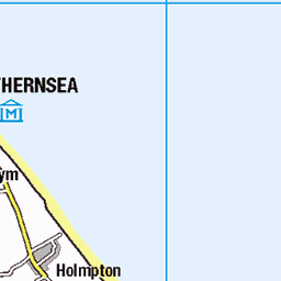
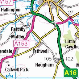
OS Map of Spurn Island
Height: 14m / 46ft • Prominence: 11m / 36ft • Summit : no feature: grass mound • Trip reports (hill-bagging)


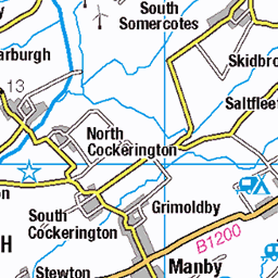
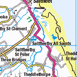
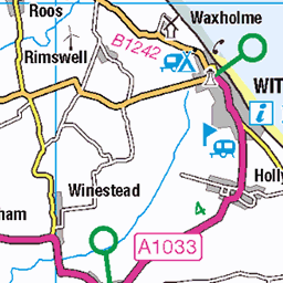
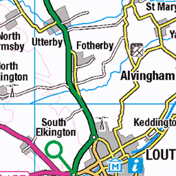
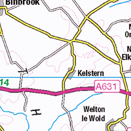
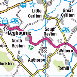
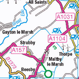
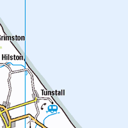
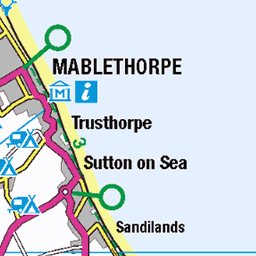
OS Map
This is OS mapping. In some areas, OpenStreetMap shows more footpaths
Spatial NI has online OSNI mapping. Click "Basemap Gallery" (4 squares icon at the top).
Now would be a good time for a cup of tea.


GPX Editor
Record map clicks
Reload map
Photos
Please tag your photos and upload them to the British and Irish Mountains group on Flickr
The other photos have been geo-tagged as on or around the summit. For less busy mountains, it can be a little hit and miss.


Videos
Spurn National Nature Reserve, aka simply Spurn Point, is one of the best outdoor things to do in East Yorkshire, suitable for all ...
I visited Spurn Point in Yorkshire to see the work that Yorkshire Wildlife Trust are doing to restore the marine environment of the ...
A visit to Spurn Point, East Riding of Yorkshire. Spurn is a narrow tidal island located off the tip of the coast of the East Riding of ...
Spurn is a narrow sand tidal island located off the tip of the coast of the East Riding of Yorkshire, England that reaches into the ...
Our adventure to Spurn begins! Walking in the rain with Ben https://www.instagram.com/king_of.winter/ we cross the washover ...
Notes
- Data: Database of British and Irish Hills v18.2
- Maps: We use OS mapping for England, Scotland, Wales, and the Isle of Man. Sadly, Channel Islands, Northern (OSNI) and Southern Ireland (OSI) mapping isn't available online, so we use Openstreetmap.