Hills of Britain and Ireland
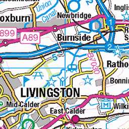
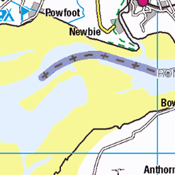
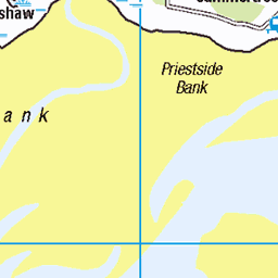
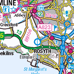
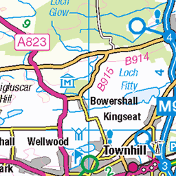
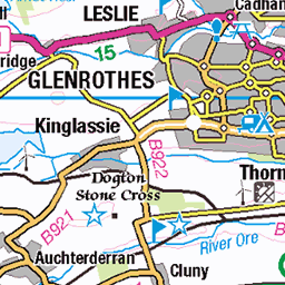
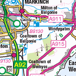
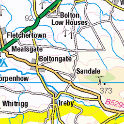
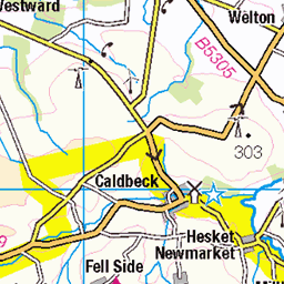
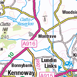
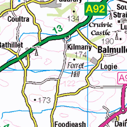
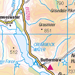
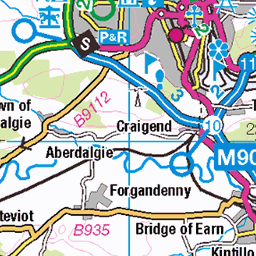
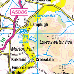
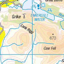
OS Map of Turner Cleuch Law
Height: 551m / 1808ft • Prominence: 179m / 587ft • Summit : no feature: ground 10m N of fence • Trip reports (hill-bagging)


1921 Turner Cleuch Law
Climbed with Smudge after parking south of Hartleap then straight up close to edge of the forest. Name: Turner Cleuch Law Hill number: 1921 Height: 551m / 1808ft Section:28B: The River Tweed to the English Border Area: Ettrick Hills County/UA: Scottish Borders (UA) Class: Marilyn, Hump, Donald Dewey Grid ref:NT 28739 20444 Summit feature: no feature: ground 10m N of fence Drop: 179m Col:372m NT270199 Survey: Abney level/Leica Disto/Leica RX1250 Comments: Summit height measurement is 551.0m
02-Oct-15 • Dugswell2 • flickr
marilyn hump tump p179 turnercleuchlaw donalddewey 23677542859

1921 Turner Cleuch Law a
02-Oct-15 • Dugswell2 • flickr
marilyn hump tump p179 turnercleuchlaw donalddewey 23417181384
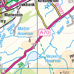
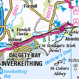
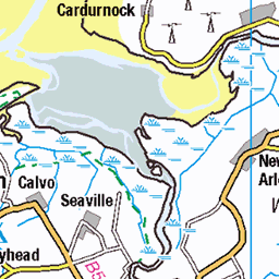
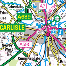
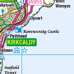
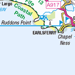
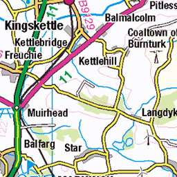
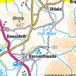
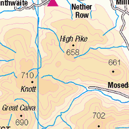
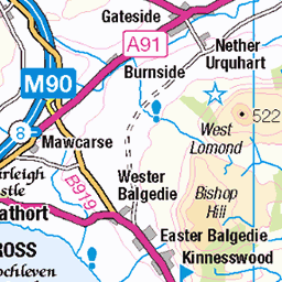
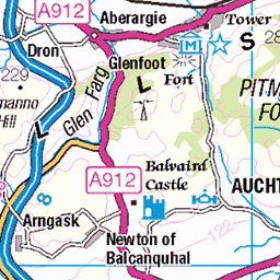
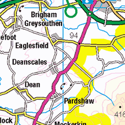
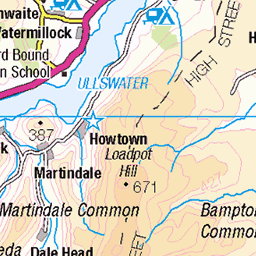
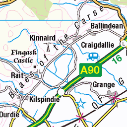
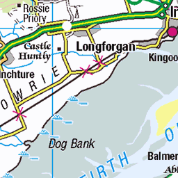
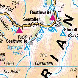
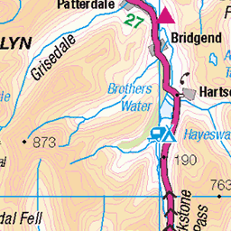
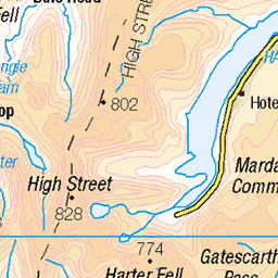
OS Map
This is OS mapping. In some areas, OpenStreetMap shows more footpaths
Spatial NI has online OSNI mapping. Click "Basemap Gallery" (4 squares icon at the top).
Now would be a good time for a cup of tea.


GPX Editor
Record map clicks
Reload map
Photos
Please tag your photos and upload them to the British and Irish Mountains group on Flickr
The other photos have been geo-tagged as on or around the summit. For less busy mountains, it can be a little hit and miss.
1921 Turner Cleuch Law
Climbed with Smudge after parking south of Hartleap then straight up close to edge of the forest. Name: Turner Cleuch Law Hill number: 1921 Height: 551m / 1808ft Section:28B: The River Tweed to the English Border Area: Ettrick Hills County/UA: Scottish Borders (UA) Class: Marilyn, Hump, Donald Dewey Grid ref:NT 28739 20444 Summit feature: no feature: ground 10m N of fence Drop: 179m Col:372m NT270199 Survey: Abney level/Leica Disto/Leica RX1250 Comments: Summit height measurement is 551.0m
02-Oct-15 • Dugswell2 • flickr
marilyn hump tump p179 turnercleuchlaw donalddewey 23677542859
1921 Turner Cleuch Law a
02-Oct-15 • Dugswell2 • flickr
marilyn hump tump p179 turnercleuchlaw donalddewey 23417181384
Videos
None found
Notes
- Data: Database of British and Irish Hills v18.2
- Maps: We use OS mapping for England, Scotland, Wales, and the Isle of Man. Sadly, Channel Islands, Northern (OSNI) and Southern Ireland (OSI) mapping isn't available online, so we use Openstreetmap.