Hills of Britain and Ireland
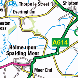
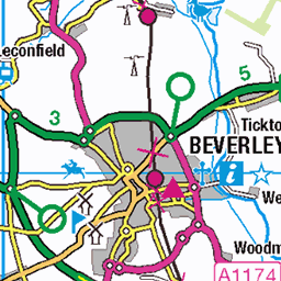
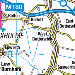
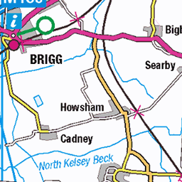
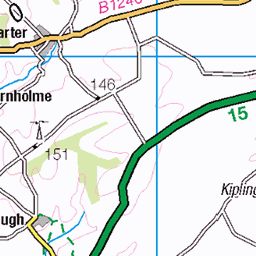
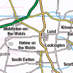
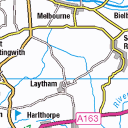
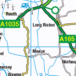
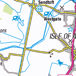
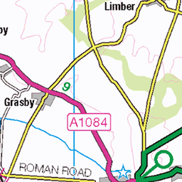
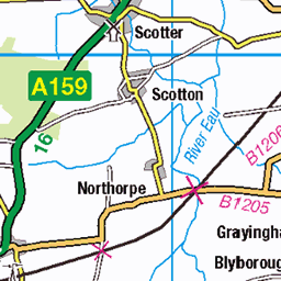
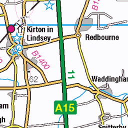
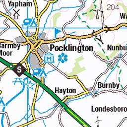
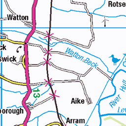
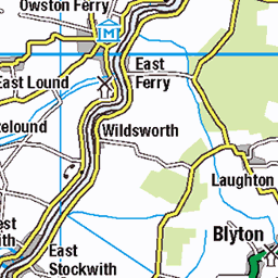
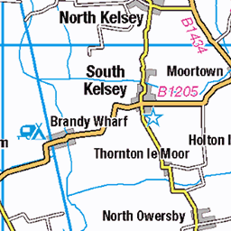
OS Map of Read's Island

The morning reed
A beautiful sunrise this over the Humber Estuary this morning, this common reed took my eye silhouetted against the rising sun and orange sky.
05-Aug-18 • alan.irons • flickr
silhouette nature outdoors reed dawn daybreak sunrise sunlight sun riverbank humberestuary northlincolnshire orangeskies sky eos5dmkiv sp70200mmf28 poaceae plantlife canon 2018 43139770084

River Humber Sunset
Sunset over the River Humber on 18/05/18. I'd watched as the sun dipped behind a bank of cloud and I thought that was it, so I packed away the camera. Just as I was about to get back into the car, the sun re-appeared from beneath a layer of cloud and slowly moved further down behind another cloud layer. I got the camera back out and took a few images as part of the sun was sliced through by two cloud layers.
18-May-18 • Paul Simpson Photography • flickr
sunset sun clouds paulsimpsonphotography imagesof imageof photoof photosof may2018 riverhumber water river sky sunsetcolours summer england trees 27346924717
Reads Island waders
The waders on Read's Island having their last meal of the day.
08-Jul-17 • alan.irons • flickr
reads island humberestuary riverhumber waders sunset dusk fire calm canon northlincolnshire shoreline cloudsstormssunsetssunrises 5d 24105 southferriby 35073306913

Worth getting up for 2.
This is one more from the early start some weeks ago, this one has the whole sun above the horizon and a bit more light on the mud flats.
27-May-17 • alan.irons • flickr
dawn sunup crackofdawn river humber estuary humberbridge bridge subtle sunlight sun shoreline hull humberside northlincolnshire reeds water eos1dxmk2 canon warmth orangeskies goldenhour calm halcyon tranquil serene placid soothing 70200 early solar suspension 2220m singlespan crossing 1981 sky sea 35942776692


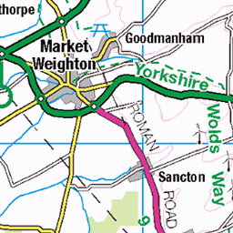
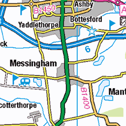
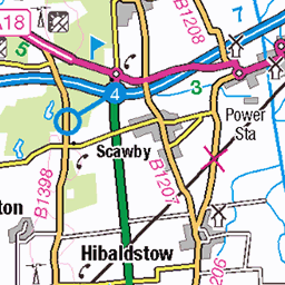
OS Map
This is OS mapping. In some areas, OpenStreetMap shows more footpaths
Spatial NI has online OSNI mapping. Click "Basemap Gallery" (4 squares icon at the top).
Now would be a good time for a cup of tea.

GPX Editor
Record map clicks
Reload map
Photos
Please tag your photos and upload them to the British and Irish Mountains group on Flickr
The other photos have been geo-tagged as on or around the summit. For less busy mountains, it can be a little hit and miss.
The morning reed
A beautiful sunrise this over the Humber Estuary this morning, this common reed took my eye silhouetted against the rising sun and orange sky.
05-Aug-18 • alan.irons • flickr
silhouette nature outdoors reed dawn daybreak sunrise sunlight sun riverbank humberestuary northlincolnshire orangeskies sky eos5dmkiv sp70200mmf28 poaceae plantlife canon 2018 43139770084
River Humber Sunset
Sunset over the River Humber on 18/05/18. I'd watched as the sun dipped behind a bank of cloud and I thought that was it, so I packed away the camera. Just as I was about to get back into the car, the sun re-appeared from beneath a layer of cloud and slowly moved further down behind another cloud layer. I got the camera back out and took a few images as part of the sun was sliced through by two cloud layers.
18-May-18 • Paul Simpson Photography • flickr
sunset sun clouds paulsimpsonphotography imagesof imageof photoof photosof may2018 riverhumber water river sky sunsetcolours summer england trees 27346924717
Reads Island waders
The waders on Read's Island having their last meal of the day.
08-Jul-17 • alan.irons • flickr
reads island humberestuary riverhumber waders sunset dusk fire calm canon northlincolnshire shoreline cloudsstormssunsetssunrises 5d 24105 southferriby 35073306913
Worth getting up for 2.
This is one more from the early start some weeks ago, this one has the whole sun above the horizon and a bit more light on the mud flats.
27-May-17 • alan.irons • flickr
dawn sunup crackofdawn river humber estuary humberbridge bridge subtle sunlight sun shoreline hull humberside northlincolnshire reeds water eos1dxmk2 canon warmth orangeskies goldenhour calm halcyon tranquil serene placid soothing 70200 early solar suspension 2220m singlespan crossing 1981 sky sea 35942776692


Calm Humber
england uk unitedkingdom lincolnshire rural humber water river landscape reflection sky nature 26192246279


Reflection
england uk unitedkingdom lincolnshire water watercraft boat river people vehicle reflection sky 26191080039
Videos
Just before loosing light, a flight over Reads Island, an island in the middle of the river humber.
Here's the most Northerly village in all of Lincolnshire, situated at the Northern termination of the Lincoln Cliff range of hills, about ...
At the point where the Lincolnshire Wolds meet the Humber Estuary was the Southern end of an ancient ferry over the Humber.
An early morning walk around the local village of Alkborough in North Lincolnshire.
I'd never been to this area of North Lincolnshire before and if you haven't either, I strongly recommend it. You'll see why over the ...
Notes
- Data: Database of British and Irish Hills v18.2
- Maps: We use OS mapping for England, Scotland, Wales, and the Isle of Man. Sadly, Channel Islands, Northern (OSNI) and Southern Ireland (OSI) mapping isn't available online, so we use Openstreetmap.