Hills of Britain and Ireland
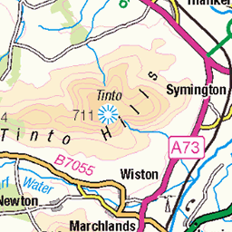
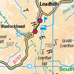
OS Map of Coomb Hill
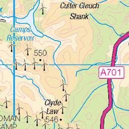
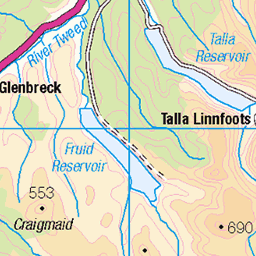
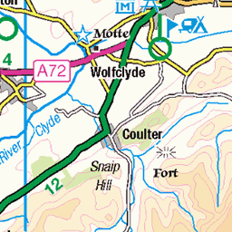
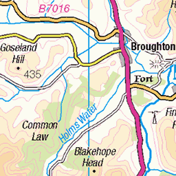
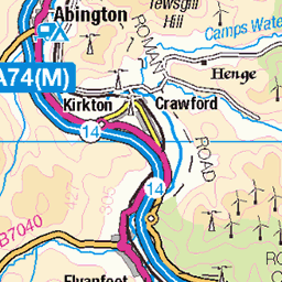
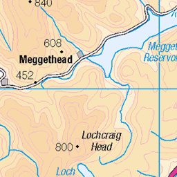
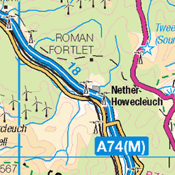
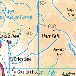
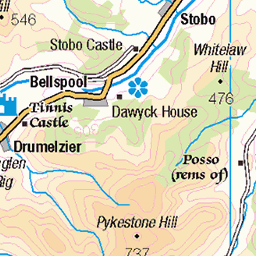
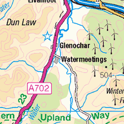
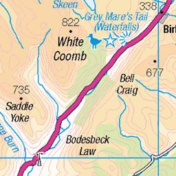
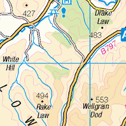
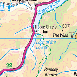
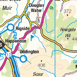
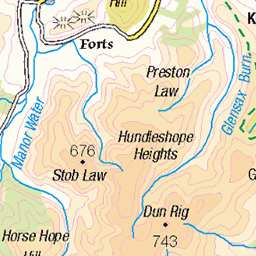
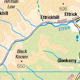
OS Map
This is OS mapping. In some areas, OpenStreetMap shows more footpaths
Spatial NI has online OSNI mapping. Click "Basemap Gallery" (4 squares icon at the top).
Now would be a good time for a cup of tea.
GPX Editor
Record map clicks
Reload map
Photos
Please tag your photos and upload them to the British and Irish Mountains group on Flickr
The other photos have been geo-tagged as on or around the summit. For less busy mountains, it can be a little hit and miss.
Videos
Moffat Hills are usually linked with theirs greatest attractions: Grey Mare Tail waterfall and the highest peak of this range: White ...
Join Douglas as he takes an opportunistic Monday afternoon off work to head to the Southern Uplands to tackle the Hart Fell ...
Coombe Wood Garden near Croydon,UK . Beautiful garden in Uk.
Join us as we take a drive in Elz our Nissan Elgrand E51 down the Cotswolds. With our Doberman dog Neo we explore Cleeve ...
Notes
- Data: Database of British and Irish Hills v18.2
- Maps: We use OS mapping for England, Scotland, Wales, and the Isle of Man. Sadly, Channel Islands, Northern (OSNI) and Southern Ireland (OSI) mapping isn't available online, so we use Openstreetmap.