Hills of Britain and Ireland
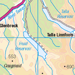
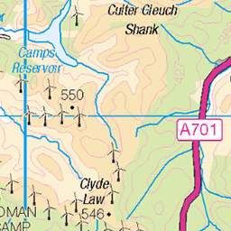
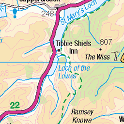
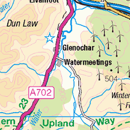
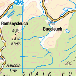
OS Map of West Knowe
Height: 671m / 2201ft • Prominence: 31m / 102ft • Summit : no feature: ground by remains of old fence post • Trip reports (hill-bagging)


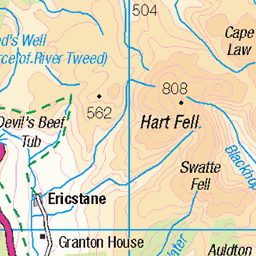
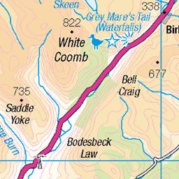
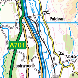
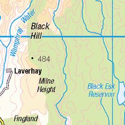
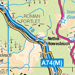
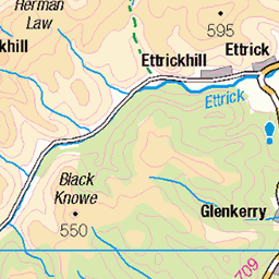
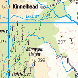
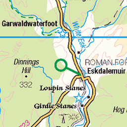
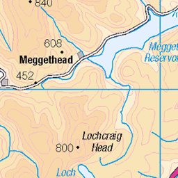
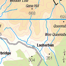
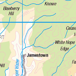
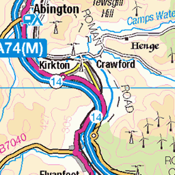
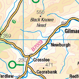
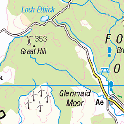
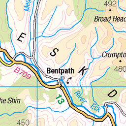
OS Map
This is OS mapping. In some areas, OpenStreetMap shows more footpaths
Spatial NI has online OSNI mapping. Click "Basemap Gallery" (4 squares icon at the top).
Now would be a good time for a cup of tea.


GPX Editor
Record map clicks
Reload map
Photos
Please tag your photos and upload them to the British and Irish Mountains group on Flickr
The other photos have been geo-tagged as on or around the summit. For less busy mountains, it can be a little hit and miss.


Videos
Today, we're diving into the surprising results of a recent poll that ranked the most depressive places to live in the UK.
A former Londoner moving to the countryside has to adapt in more ways than one – like understanding what the local folk are ...
Some lyrics just don't stand the test of time. In this video, we take a look at questionable lyrics about Puff Daddy that did NOT age ...
Every Event in the American West This episode of Lessons in History covers all the key issues in our American West course.
Discover the Best Places to Live in the UK 2024! ✨ The Sunday Times has spoken, and we're taking you through the top 10 ...
Notes
- Data: Database of British and Irish Hills v18.2
- Maps: We use OS mapping for England, Scotland, Wales, and the Isle of Man. Sadly, Channel Islands, Northern (OSNI) and Southern Ireland (OSI) mapping isn't available online, so we use Openstreetmap.