Hills of Britain and Ireland
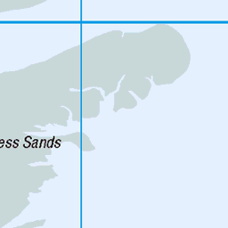
OS Map of The Mount
Height: 76m / 248ft • Prominence: 76m / 249ft • Summit : no feature: arable • Trip reports (hill-bagging)

Minster (18-02-25) - 001
kent england sheppey minster church abbey 54335850756


Minster (18-02-25) - 003
kent england sheppey minster church abbey 54336082193

Minster (18-02-25) - 004
kent england sheppey minster church abbey 54336272125

Minster (18-02-25) - 005
kent england sheppey minster church abbey 54335850651

Minster (18-02-25) - 006
kent england sheppey minster church abbey 54335850706
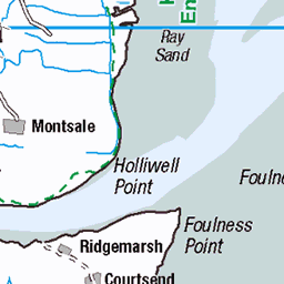
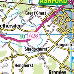
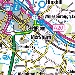
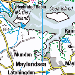
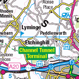
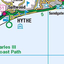
OS Map
This is OS mapping. In some areas, OpenStreetMap shows more footpaths
Spatial NI has online OSNI mapping. Click "Basemap Gallery" (4 squares icon at the top).
Now would be a good time for a cup of tea.


GPX Editor
Record map clicks
Reload map
Photos
Please tag your photos and upload them to the British and Irish Mountains group on Flickr
The other photos have been geo-tagged as on or around the summit. For less busy mountains, it can be a little hit and miss.
Minster (18-02-25) - 001
kent england sheppey minster church abbey 54335850756
Minster (18-02-25) - 003
kent england sheppey minster church abbey 54336082193
Minster (18-02-25) - 004
kent england sheppey minster church abbey 54336272125
Minster (18-02-25) - 005
kent england sheppey minster church abbey 54335850651
Minster (18-02-25) - 006
kent england sheppey minster church abbey 54335850706

Minster (18-02-25) - 007
kent england sheppey minster church abbey 54335850636

Minster (18-02-25) - 008
kent england sheppey minster church abbey 54335850681

Minster (18-02-25) - 009
kent england sheppey minster church abbey 54336070374


18614 The Mount
Ground prepared for next years crop so easy access today after parking near water tower. Name: The Mount Hill number: 18614 Height: 76m / 249ft Parent (Ma): none Section: 42: South-East England & the Isle of Wight County/UA: Kent (CoU) Island: Mono Tump island Maritime Area: Thames Estuary & The Medway Class: Tump (0-99m), SIB Grid ref: TQ 97018 72215 Summit feature: no feature Drop: 76m Col: Sea
08-Sep-16 • Dugswell2 • flickr
tump themount sib p76 29730030776

18614 The Mount a
08-Sep-16 • Dugswell2 • flickr
tump kingsboroughwatertower themount sib p76 29141033263
Videos
These guys fitted a recon engine, as having advised me they could rebuild my engine, and the price over doubled. it went back ...
Uk40fm. Maxcom 20e. Kl203 burner. Modulator whip and mag mount.
The Isle of Sheppey is an island off the northern coast of Kent, England, neighbouring the Thames Estuary, centred 42 miles from ...
The Blockheads "clip" performing "sex and drugs n rock and roll" live July 27th 2019 at Faversham beer festival.
A year of sail. Some pictures with Two sail then upgraded to Sx three sail hurricane 5.9.
Notes
- Data: Database of British and Irish Hills v18.2
- Maps: We use OS mapping for England, Scotland, Wales, and the Isle of Man. Sadly, Channel Islands, Northern (OSNI) and Southern Ireland (OSI) mapping isn't available online, so we use Openstreetmap.