Hills of Britain and Ireland
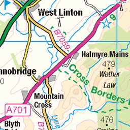
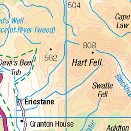
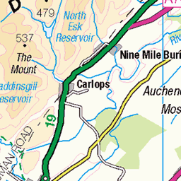
OS Map of Dun Rig
Height: 744m / 2441ft • Prominence: 243m / 797ft • Summit : grassy mound 65m SW of trig point • Trip reports (hill-bagging)

The Dun Rig horseshoe: approaching Dun Rig from Stake Law
01-Mar-22 • Mumbles Head • flickr
scotland lowlands grahams landscape winter panorama geotaggedscotland geotagged 51942691229

The Dun Rig horseshoe: Glenrath Heights and the distant Manor Hills from Dun Rig
01-Mar-22 • Mumbles Head • flickr
scotland lowlands grahams landscape winter panorama geotaggedscotland geotagged 51942987430

The Dun Rig horseshoe: Hundleshope Heights from Dun Rig
01-Mar-22 • Mumbles Head • flickr
scotland lowlands grahams landscape winter panorama geotaggedscotland geotagged 51941408847

The Dun Rig horseshoe: leaving Dun Rig for Middle Hill
01-Mar-22 • Mumbles Head • flickr
scotland lowlands grahams landscape winter panorama geotaggedscotland geotagged 51942485913


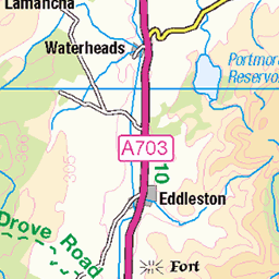
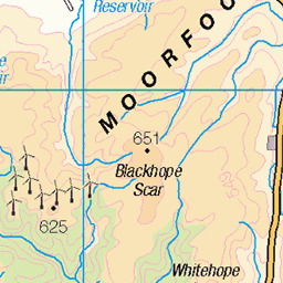
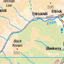
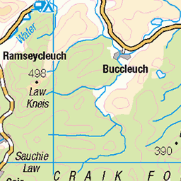
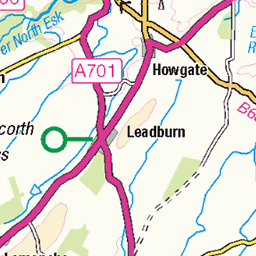
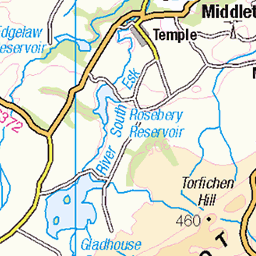
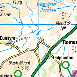
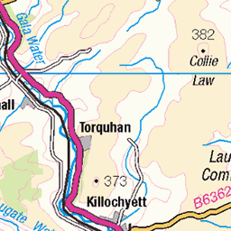
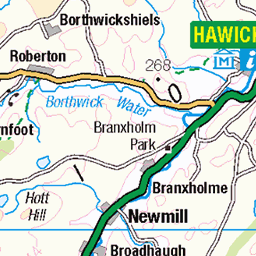
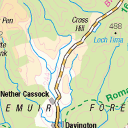
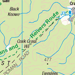
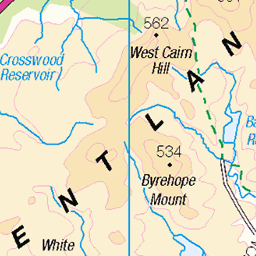
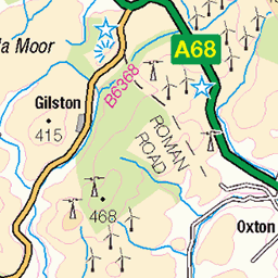
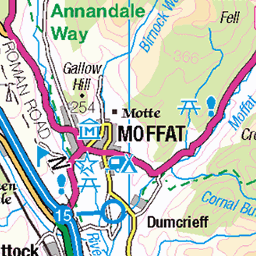
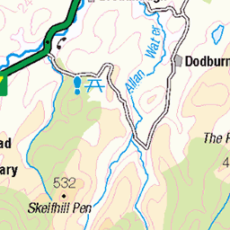
OS Map
This is OS mapping. In some areas, OpenStreetMap shows more footpaths
Spatial NI has online OSNI mapping. Click "Basemap Gallery" (4 squares icon at the top).
Now would be a good time for a cup of tea.
GPX Editor
Record map clicks
Reload map
Photos
Please tag your photos and upload them to the British and Irish Mountains group on Flickr
The other photos have been geo-tagged as on or around the summit. For less busy mountains, it can be a little hit and miss.
The Dun Rig horseshoe: approaching Dun Rig from Stake Law
01-Mar-22 • Mumbles Head • flickr
scotland lowlands grahams landscape winter panorama geotaggedscotland geotagged 51942691229
The Dun Rig horseshoe: Glenrath Heights and the distant Manor Hills from Dun Rig
01-Mar-22 • Mumbles Head • flickr
scotland lowlands grahams landscape winter panorama geotaggedscotland geotagged 51942987430
The Dun Rig horseshoe: Hundleshope Heights from Dun Rig
01-Mar-22 • Mumbles Head • flickr
scotland lowlands grahams landscape winter panorama geotaggedscotland geotagged 51941408847
The Dun Rig horseshoe: leaving Dun Rig for Middle Hill
01-Mar-22 • Mumbles Head • flickr
scotland lowlands grahams landscape winter panorama geotaggedscotland geotagged 51942485913


1845 Dun Rig
Parked passed Kirkhouse to use the Southern Upland Way to Blake Muir, Deuhar Law, Whiteknowe Head, Dun Rig, Stake Law and Birkscairn Hill before descending to Glen House Estate Farm to use the minor road back to Kirkhouse. Name:Dun Rig Hill number:1845 Height:744m / 2441ft Area:28B: The River Tweed to the English Border Class:Ma,G,D Grid ref: NT 25317 31548 Summit feature:grassy mound 65m SW of trig point Drop:243m Col:501m NT204262.
10-Nov-13 • Dugswell2 • flickr
marilyn donald graham p243 dunrig 11822630433

Crummock (Scotland) Limited - embankment creation - Construction
This was for the headquarters of the Royal Bank of Scotland.
10-Sep-03 • crummock.com • flickr
construction edinburgh embankment civilengineering crummock gogar crummockscotlandlimited 7494219886
Videos
Seven Donald's to go and bagged four on this trip. The weather was great for mid March but was still a cold one at night.
Panoramic shot from the top of Dun Rig.
Notes
- Data: Database of British and Irish Hills v18.2
- Maps: We use OS mapping for England, Scotland, Wales, and the Isle of Man. Sadly, Channel Islands, Northern (OSNI) and Southern Ireland (OSI) mapping isn't available online, so we use Openstreetmap.