Hills of Britain and Ireland
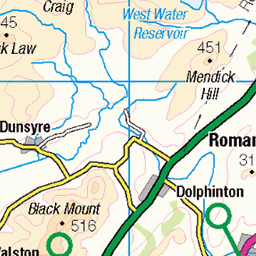
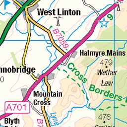
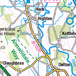
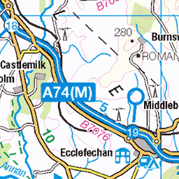
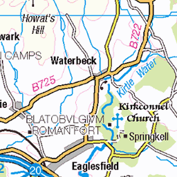
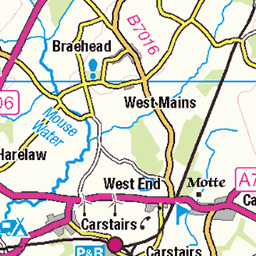
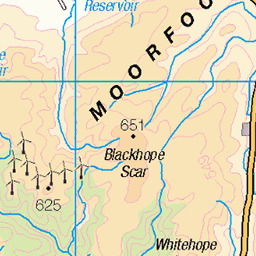
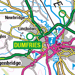
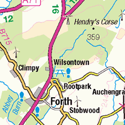
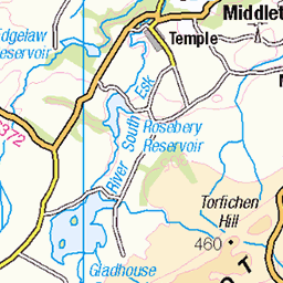
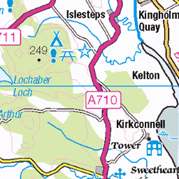
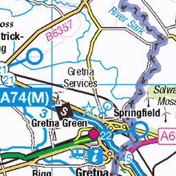
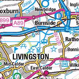
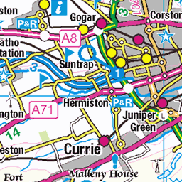
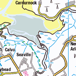
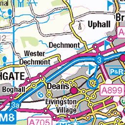
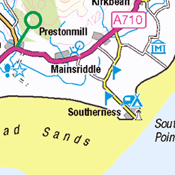
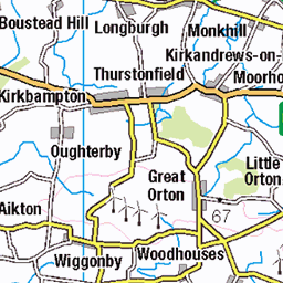
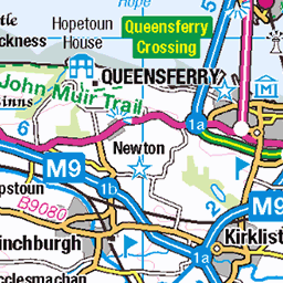
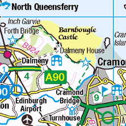
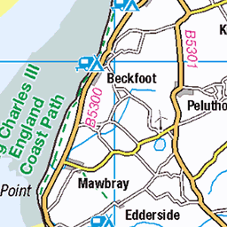
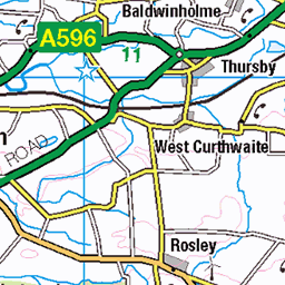
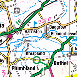
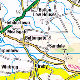
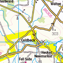
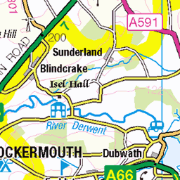
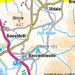
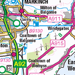
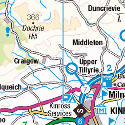
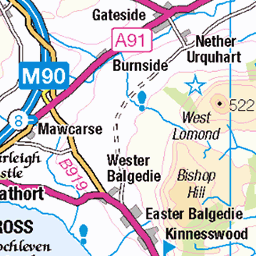
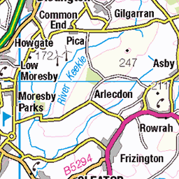
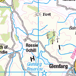
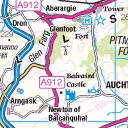
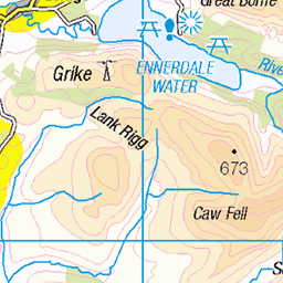
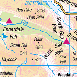
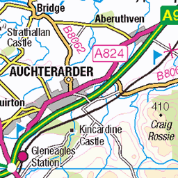
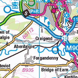
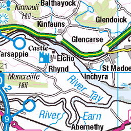
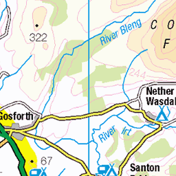
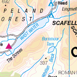
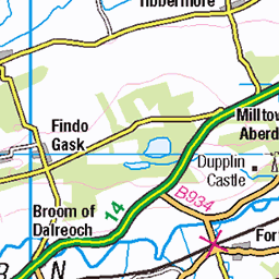
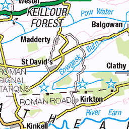
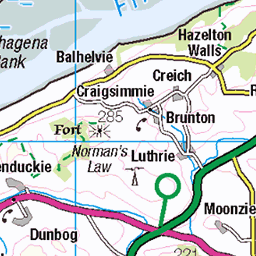
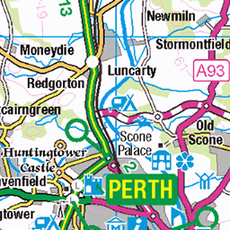
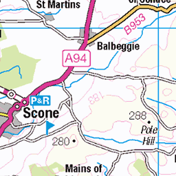
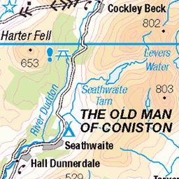
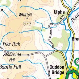
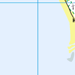
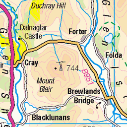
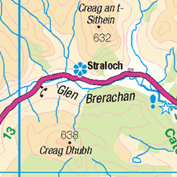
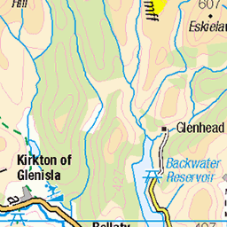
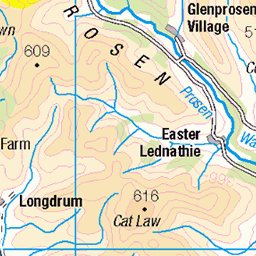
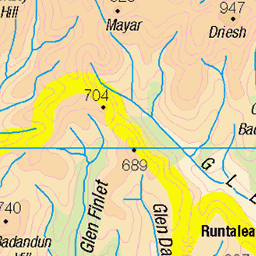
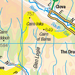
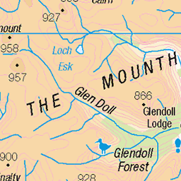
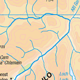
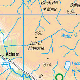
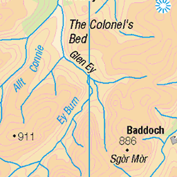
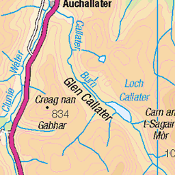
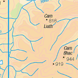
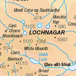
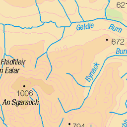
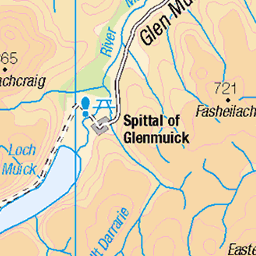
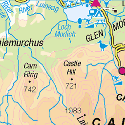
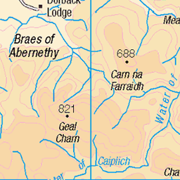
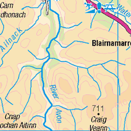
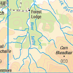
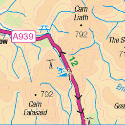
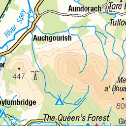
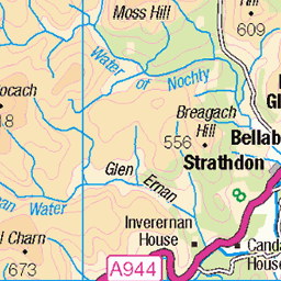
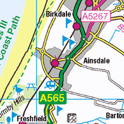
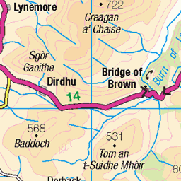
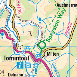
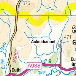
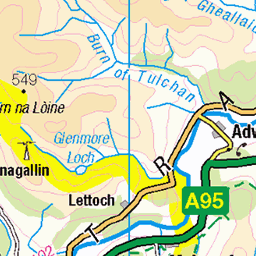
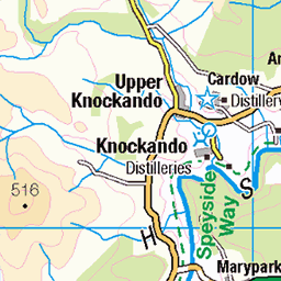
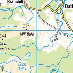
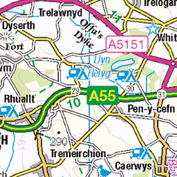
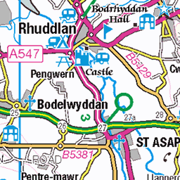
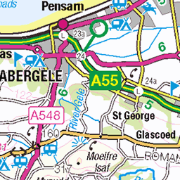
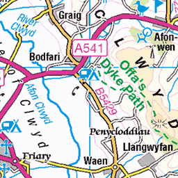
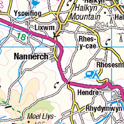
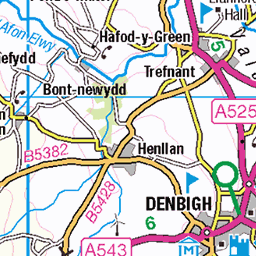
OS Map of Hart Fell
Height: 808m / 2651ft • Prominence: 200m / 656ft • Summit : trig point • Trip reports (hill-bagging)

Looking over to Saddle Yoke and White Coomb
15-May-22 • We travel the Spaceways • flickr
52078609844

Hart Fell Trig 808 m
Location of my latest wildcamp in the Moffat hills .
08-Aug-20 • CamraMan. • flickr
wildcamping moffat hartfell 50213045241
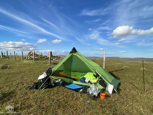
360 Views.
I had all the views on this camp as the weather was glorious . Checkout the video here - youtu.be/bXHzQlkMi7M" rel="noreferrer nofollow youtu.be/bXHzQlkMi7M
08-Aug-20 • CamraMan. • flickr
hartfell wildcamping sixmoondesignslunarsolo scotland dumfriesandgalloway sky clouds borderrambler 50221140661


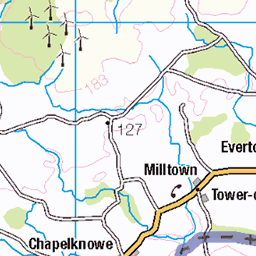
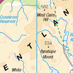
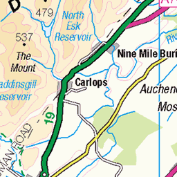
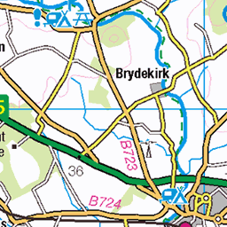
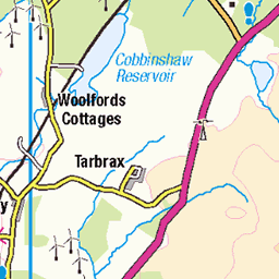
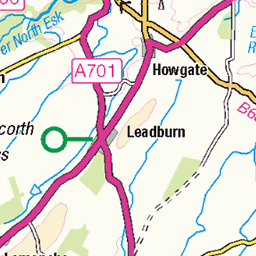
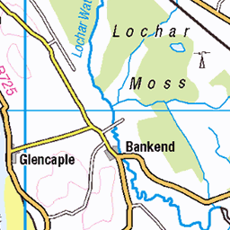
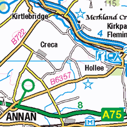
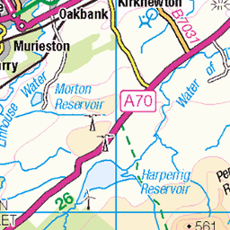
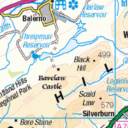
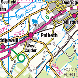
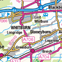
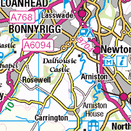
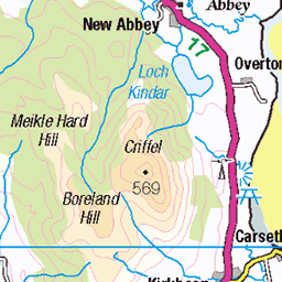
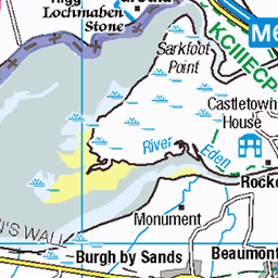
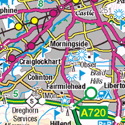
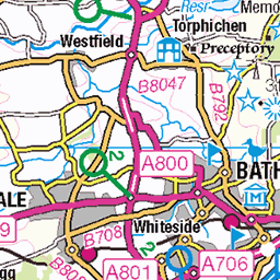
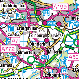
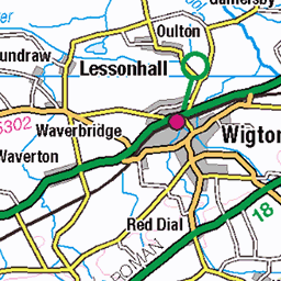
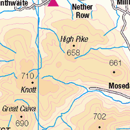
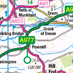
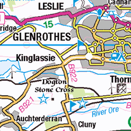
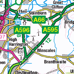
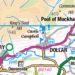
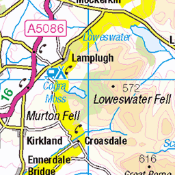
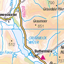
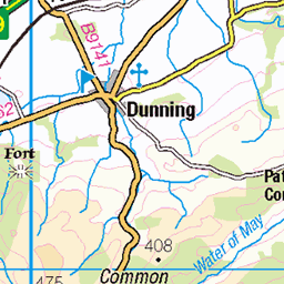
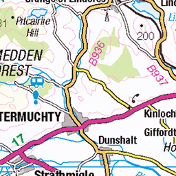
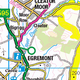
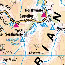
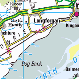
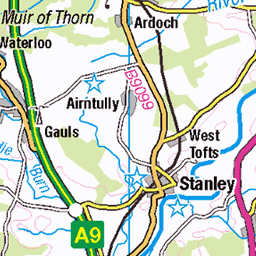
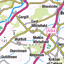
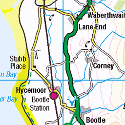
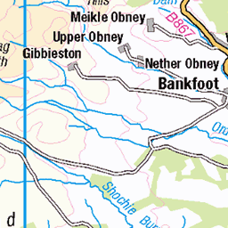
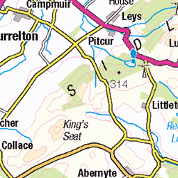
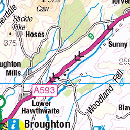
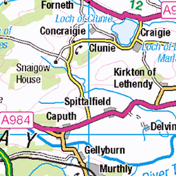
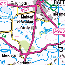
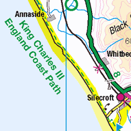
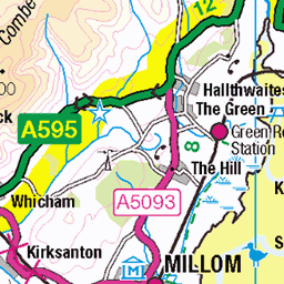
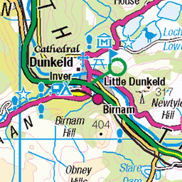
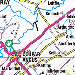
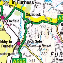
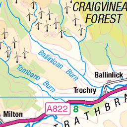
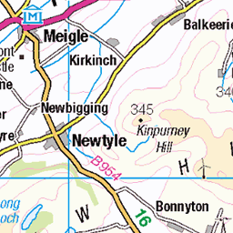
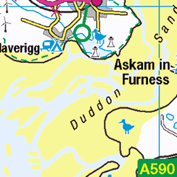
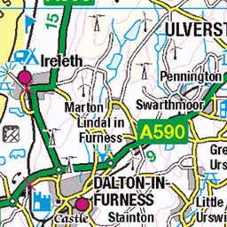
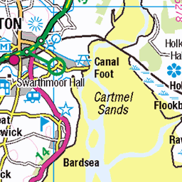
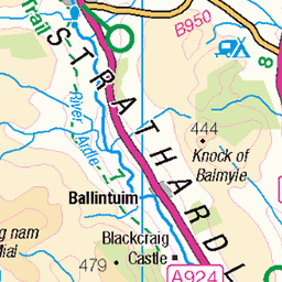
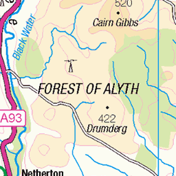
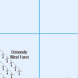
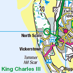
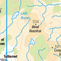
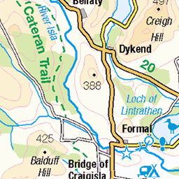
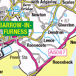
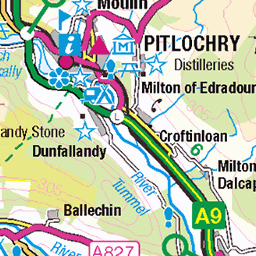
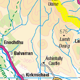
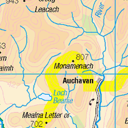
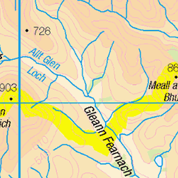
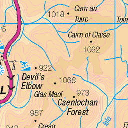
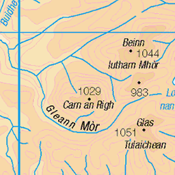
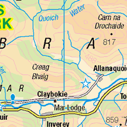
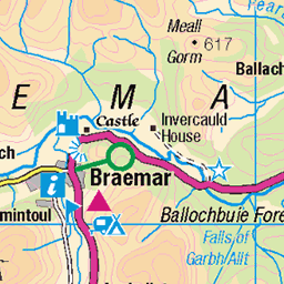
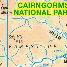
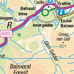
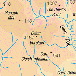
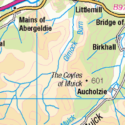
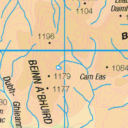
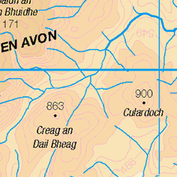
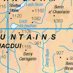
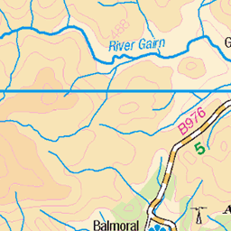
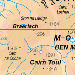
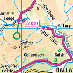
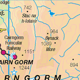
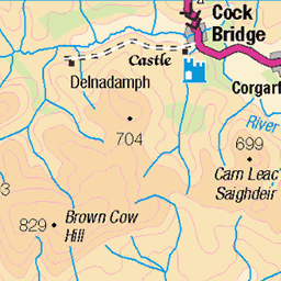
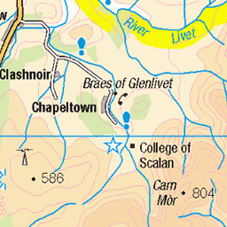
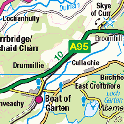
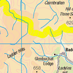
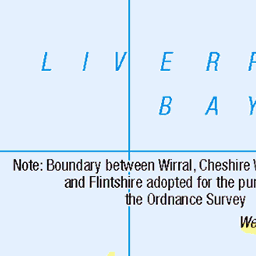
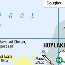
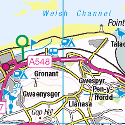
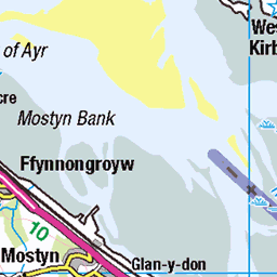
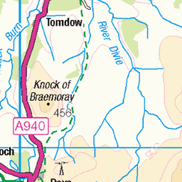
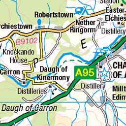
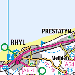
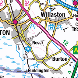
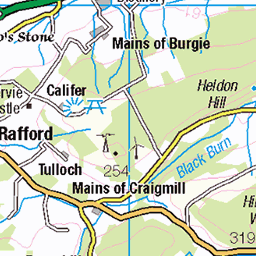
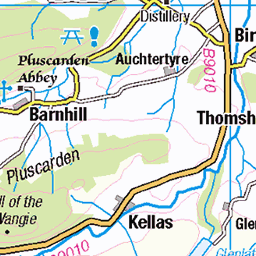
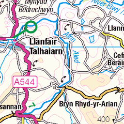
OS Map
This is OS mapping. In some areas, OpenStreetMap shows more footpaths
Spatial NI has online OSNI mapping. Click "Basemap Gallery" (4 squares icon at the top).
Now would be a good time for a cup of tea.


GPX Editor
Record map clicks
Reload map
Photos
Please tag your photos and upload them to the British and Irish Mountains group on Flickr
The other photos have been geo-tagged as on or around the summit. For less busy mountains, it can be a little hit and miss.
Looking over to Saddle Yoke and White Coomb
15-May-22 • We travel the Spaceways • flickr
52078609844
Hart Fell Trig 808 m
Location of my latest wildcamp in the Moffat hills .
08-Aug-20 • CamraMan. • flickr
wildcamping moffat hartfell 50213045241
360 Views.
I had all the views on this camp as the weather was glorious . Checkout the video here - youtu.be/bXHzQlkMi7M" rel="noreferrer nofollow youtu.be/bXHzQlkMi7M
08-Aug-20 • CamraMan. • flickr
hartfell wildcamping sixmoondesignslunarsolo scotland dumfriesandgalloway sky clouds borderrambler 50221140661


Hart Fell avalanche
streetmap.co.uk/map.srf?X=311871&Y=613407&A=Y&Z=115" rel="nofollow streetmap.co.uk/map.srf?X=311871&Y=613407&A=Y&...
02-May-15 • iainjamescameron • flickr
17157291288


Hart Fell (main) patch
76 metres long. Location here: www.streetmap.co.uk/map.srf?X=311050&Y=614450&A=Y&Z=115" rel="nofollow www.streetmap.co.uk/map.srf?X=311050&Y=614450&A=Y...
03-May-14 • iainjamescameron • flickr
14093723961
Videos
Join Douglas as he takes an opportunistic Monday afternoon off work to head to the Southern Uplands to tackle the Hart Fell ...
One of only seven Corbetts in the Southern Uplands a beautiful walk I regard as the best in Southern Scotland The Hart Fell ...
A nice hillwalk near Moffat in Dumfries and Galloway. 22nd Oct 2020.
Also known as the Merlin Trail, the path leads you upto a small cave where iron and calcium deposits can be found in the water, ...
This time I was going to tackle the Hart fell Horseshoe from Capplegill , it was a lovely day for it but a few steep climbs lay ahead in ...
Notes
- Data: Database of British and Irish Hills v18.2
- Maps: We use OS mapping for England, Scotland, Wales, and the Isle of Man. Sadly, Channel Islands, Northern (OSNI) and Southern Ireland (OSI) mapping isn't available online, so we use Openstreetmap.