Hills of Britain and Ireland
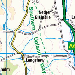
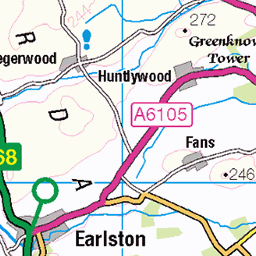
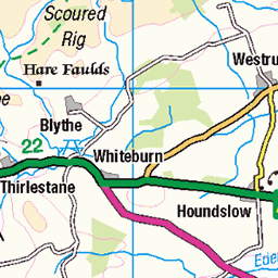
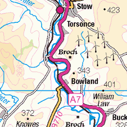
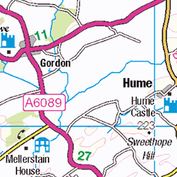
OS Map of Black Hill
Height: 314m / 1030ft • Prominence: 171m / 561ft • Summit : trig point • Trip reports (hill-bagging)

Jacs_Photo_Trip_2210_Scot-10435
22-Oct-22 • Jacs Photo • flickr
jacs jacsphoto jacslonewolf motorhome vanlife walkingaround 351931403390 alltrips jucajacs nokas trip2210scotland trip7252km tiraforagmailcom earlston scotland unitedkingdom 53194374013


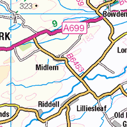
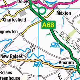
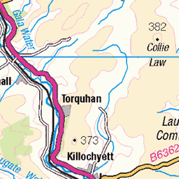
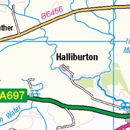
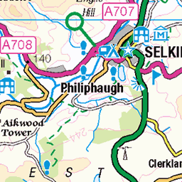
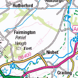
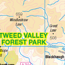
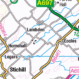
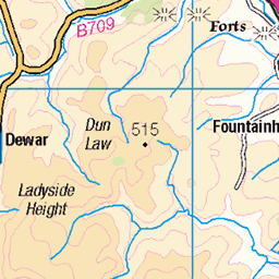
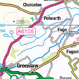
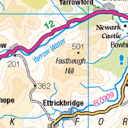
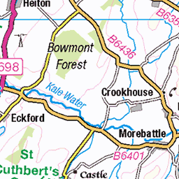
OS Map
This is OS mapping. In some areas, OpenStreetMap shows more footpaths
Spatial NI has online OSNI mapping. Click "Basemap Gallery" (4 squares icon at the top).
Now would be a good time for a cup of tea.

GPX Editor
Record map clicks
Reload map
Photos
Please tag your photos and upload them to the British and Irish Mountains group on Flickr
The other photos have been geo-tagged as on or around the summit. For less busy mountains, it can be a little hit and miss.
Jacs_Photo_Trip_2210_Scot-10435
22-Oct-22 • Jacs Photo • flickr
jacs jacsphoto jacslonewolf motorhome vanlife walkingaround 351931403390 alltrips jucajacs nokas trip2210scotland trip7252km tiraforagmailcom earlston scotland unitedkingdom 53194374013


Videos
A hike around the Scottish boarder line. We did a circular route up to Hungry Law Trig point then to Greyhound Law and a stop at ...
An experiment I had been meaning to do for a while. Cross County XC Mountain BIke Loop - would say not suitable fpr gravel ...
Hope you enjoy this wee film of one of my favourite places in the beautiful Scottish Borders. It's a truly wonderful part of Scotland ...
There's a hill overlooking the old town of Gala that has a special place in my heart its where the moss grows soft red squirrels ...
Gala Hill, Black, Upper Half, Steep decent.
Notes
- Data: Database of British and Irish Hills v18.2
- Maps: We use OS mapping for England, Scotland, Wales, and the Isle of Man. Sadly, Channel Islands, Northern (OSNI) and Southern Ireland (OSI) mapping isn't available online, so we use Openstreetmap.