Hills of Britain and Ireland
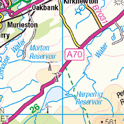
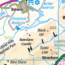
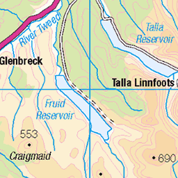
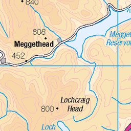
OS Map of Broughton Heights (Pyked Stane Hill)
Height: 571m / 1873ft • Prominence: 347m / 1138ft • Summit : knoll c 2m NE of trig point • Trip reports (hill-bagging)

IMG_4145
15-Feb-16 • seustace2003 • flickr
uk scotland edinburgh alba united kingdom edimburgo edinburgo schotland scozia écosse koninkrijk verenigd grootbrittannië 24682866659

S5679 - Broughton Heights
NT122410, LR72. HISTORY Pillar completed 25th July 1949 costing £27.1s.9d. Computed as secondary triangulation station NS83/5 within the Lanark block during 1950. Levelled to second class precision in 1958. This station was also used for the reconnaissance of secondary block NT33 (Peebles) during 1959. This pillar station was last maintained by the Ordnance Survey in July 1981. SITE VISIT Approached from south. Walkers' car park kindly provided at Broughton Place, NT119374. Followed mapped path to NT123393, then unmapped path by fenceline via Broomy Side and Green Law to summit. Open grazing hills. Pillar stands northwest of fenceline. Column is worse for wear, has been crumbling near the bottom of the west edge for many years. Spider retains replacement OS centre cap with raised large narrow letters. Flush bracket faces WNW, compass measurement 299°. Vented through SE sight hole. Spectacular 360° panoramic view. Photographed: 1st June 2003, GRP. ═════════════════════════ Interactive index: www.google.com/maps/d/viewer?mid=1arx2Qmo5mVeVUJA2lzVG_uzbYPW59ffh&ll=55.655454,-3.395443&z=12" rel="noreferrer nofollow Google My Maps Map: www.flickr.com/photos/13460108@N06/43496070241/in/album-72157692190778971/ Trig Pillars on OS Landranger 72 ═════════════════════════ Neighbouring Triangulation Pillars www.flickr.com/photos/13460108@N06/8103187981/in/album-72157631778814317/ S5583 - Castle Hill : 3.60 miles to the west. www.flickr.com/photos/13460108@N06/7944622866/in/set-72157631347423092 S3136 - Blyth Muir : 3.99 miles to the north. www.flickr.com/photos/13460108@N06/7905744130/in/set-72157631348956488 S1591 - Black Mount : 4.04 miles to the northwest. www.flickr.com/photos/13460108@N06/8094713209/in/set-72157631778814317/ S5680 - Rachan Hill : 4.42 miles to the south. www.flickr.com/photos/13460108@N06/8103188137/in/set-72157631778814317 S5581 - Goselands Hill : 4.92 miles to the southwest. www.flickr.com/photos/13460108@N06/7942010002/in/album-72157631432527440/ S2655 - Mendick Hill : 5.86 miles to the north. ═════════════════════════
01-Jun-03 • Graeme5015 • flickr
broughtonheights s5679 broughton pykedstanehill 8094718822
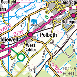
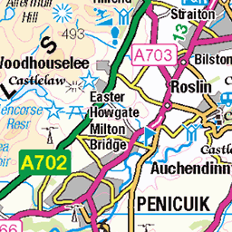
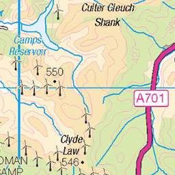
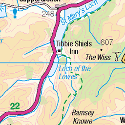
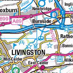
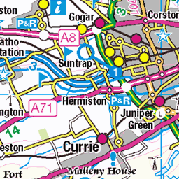
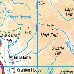
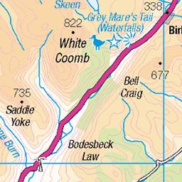
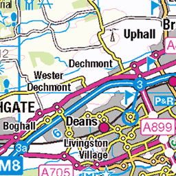
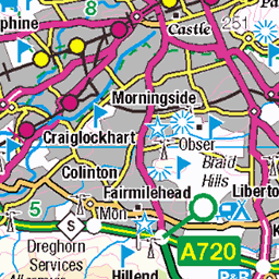
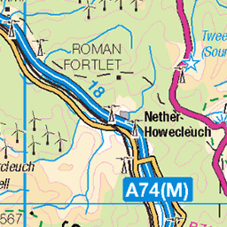
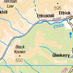
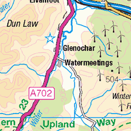
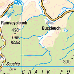
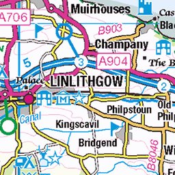
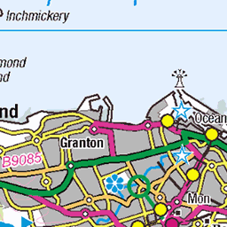
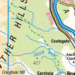
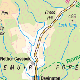
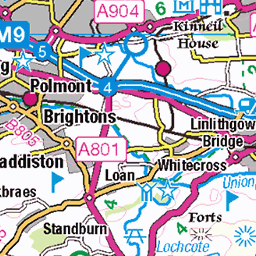
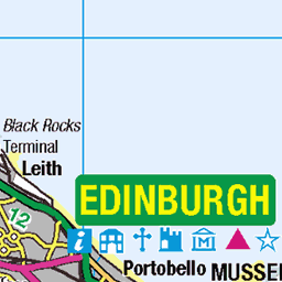
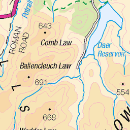
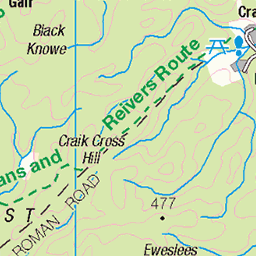
OS Map
This is OS mapping. In some areas, OpenStreetMap shows more footpaths
Spatial NI has online OSNI mapping. Click "Basemap Gallery" (4 squares icon at the top).
Now would be a good time for a cup of tea.
GPX Editor
Record map clicks
Reload map
Photos
Please tag your photos and upload them to the British and Irish Mountains group on Flickr
The other photos have been geo-tagged as on or around the summit. For less busy mountains, it can be a little hit and miss.
IMG_4145
15-Feb-16 • seustace2003 • flickr
uk scotland edinburgh alba united kingdom edimburgo edinburgo schotland scozia écosse koninkrijk verenigd grootbrittannië 24682866659
S5679 - Broughton Heights
NT122410, LR72. HISTORY Pillar completed 25th July 1949 costing £27.1s.9d. Computed as secondary triangulation station NS83/5 within the Lanark block during 1950. Levelled to second class precision in 1958. This station was also used for the reconnaissance of secondary block NT33 (Peebles) during 1959. This pillar station was last maintained by the Ordnance Survey in July 1981. SITE VISIT Approached from south. Walkers' car park kindly provided at Broughton Place, NT119374. Followed mapped path to NT123393, then unmapped path by fenceline via Broomy Side and Green Law to summit. Open grazing hills. Pillar stands northwest of fenceline. Column is worse for wear, has been crumbling near the bottom of the west edge for many years. Spider retains replacement OS centre cap with raised large narrow letters. Flush bracket faces WNW, compass measurement 299°. Vented through SE sight hole. Spectacular 360° panoramic view. Photographed: 1st June 2003, GRP. ═════════════════════════ Interactive index: www.google.com/maps/d/viewer?mid=1arx2Qmo5mVeVUJA2lzVG_uzbYPW59ffh&ll=55.655454,-3.395443&z=12" rel="noreferrer nofollow Google My Maps Map: www.flickr.com/photos/13460108@N06/43496070241/in/album-72157692190778971/ Trig Pillars on OS Landranger 72 ═════════════════════════ Neighbouring Triangulation Pillars www.flickr.com/photos/13460108@N06/8103187981/in/album-72157631778814317/ S5583 - Castle Hill : 3.60 miles to the west. www.flickr.com/photos/13460108@N06/7944622866/in/set-72157631347423092 S3136 - Blyth Muir : 3.99 miles to the north. www.flickr.com/photos/13460108@N06/7905744130/in/set-72157631348956488 S1591 - Black Mount : 4.04 miles to the northwest. www.flickr.com/photos/13460108@N06/8094713209/in/set-72157631778814317/ S5680 - Rachan Hill : 4.42 miles to the south. www.flickr.com/photos/13460108@N06/8103188137/in/set-72157631778814317 S5581 - Goselands Hill : 4.92 miles to the southwest. www.flickr.com/photos/13460108@N06/7942010002/in/album-72157631432527440/ S2655 - Mendick Hill : 5.86 miles to the north. ═════════════════════════
01-Jun-03 • Graeme5015 • flickr
broughtonheights s5679 broughton pykedstanehill 8094718822
Videos
Afton the Springer Spaniel having fun in the snow.
A wintry walk over the John Buchan Way near Broughton.
Afton the Springer Spaniel takes the lead on a wintry walk in the Broughton Heights.
A great day out with ADRC down at Broughton near Biggar as we walk a Broughton Heights route. Autumn colours were at their ...
Enjoying the wintry weather in the Scottish Borders.
Notes
- Data: Database of British and Irish Hills v18.2
- Maps: We use OS mapping for England, Scotland, Wales, and the Isle of Man. Sadly, Channel Islands, Northern (OSNI) and Southern Ireland (OSI) mapping isn't available online, so we use Openstreetmap.